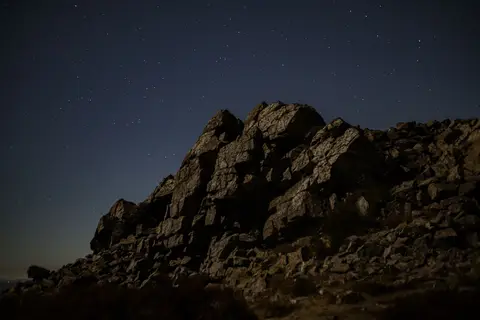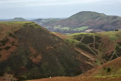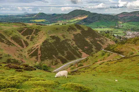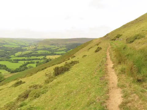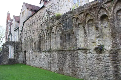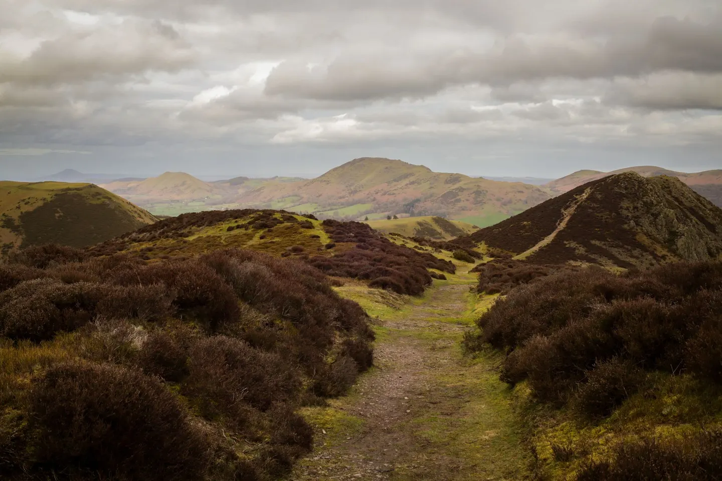
Heather ridges and rocky tops rising over the Welsh border, from the Long Mynd's plateau to the Wrekin's landmark cone
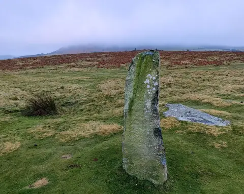
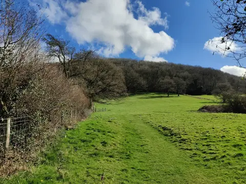
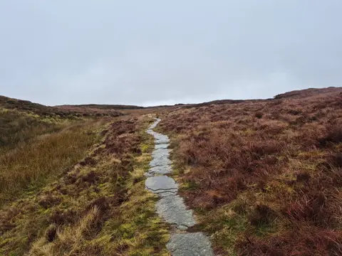
Each of these hills has its own outline. The Shropshire Hills cover 808 square kilometres of the county’s south-west corner, up against the Welsh border, and the ground ranges from smooth heather plateau to bare crag.
The Long Mynd is a big one to walk — a broad moorland whaleback above Church Stretton, cut by steep little valleys. To the north-west Stiperstones has a line of jagged quartzite tors along its crest. Brown Clee Hill is the highest point in Shropshire, while The Wrekin stands apart as a landmark you can see for miles around.
The tops are exposed and the weather turns quickly, so take a map and warm layers even for the shorter climbs. Offa’s Dyke Path runs along the western side if you want a longer line to follow through the hills.