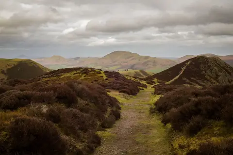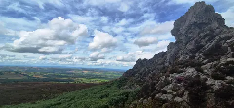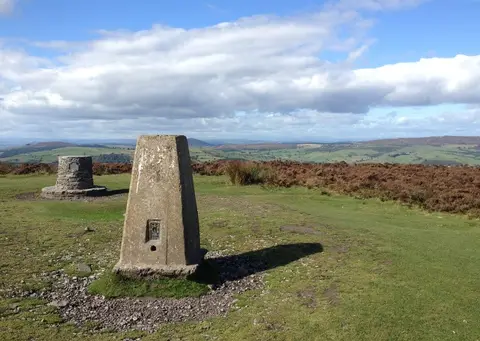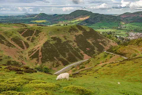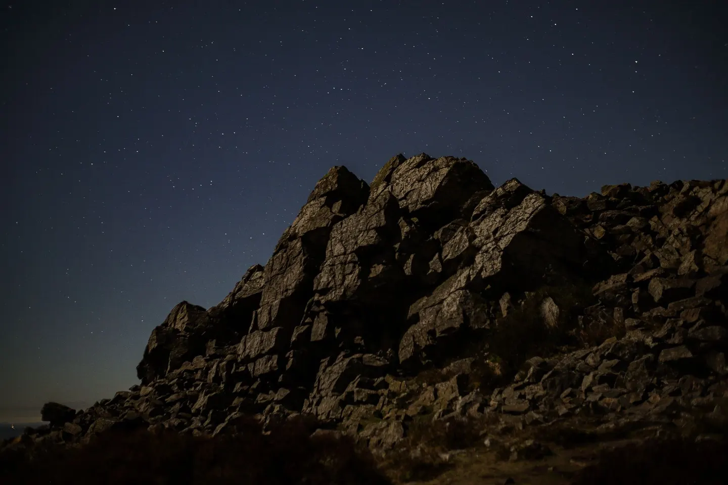
A heather ridge in south-west Shropshire topped by jagged quartzite tors, the tallest of them known as the Devil's Chair
Open accessin a National Nature Reserve open to the public
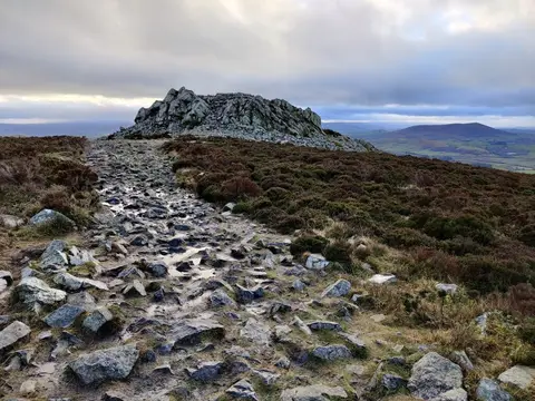
The Stiperstones is a long heathery ridge in south-west Shropshire, capped by a line of jagged rocky outcrops — tors — that stick up out of the moorland like broken teeth. The rock is a very hard, pale quartzite, shattered into blocky piles by the cold of the ice ages, and the biggest of the tors is the Devil’s Chair, which comes tangled up in a good deal of local devil folklore. At 537m the ridge is the second-highest point in the county, and on a clear day you can see over into Wales and across much of the Shropshire hills.
The walking is easy by mountain standards, a broad, gently rolling ridge, but the surface underfoot is the catch. The path along the top runs over loose, ankle-turning quartzite scree in stretches, so sturdy boots make a real difference and it pays to watch your feet rather than the view. The heather glows purple in late summer, which is a fine time to come.
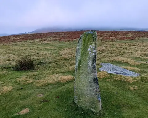
Most people walk out from the car park at the northern end, following the ridge path south past the tors. The Shropshire Way runs along here, so it slots easily into a longer walk, and Mitchell’s Fold stone circle, a Bronze Age ring on the moors a few miles west, makes a good pairing if you’re exploring this quiet corner.
More at hill-bagging.co.uk