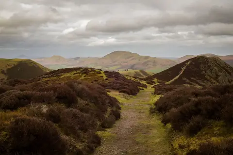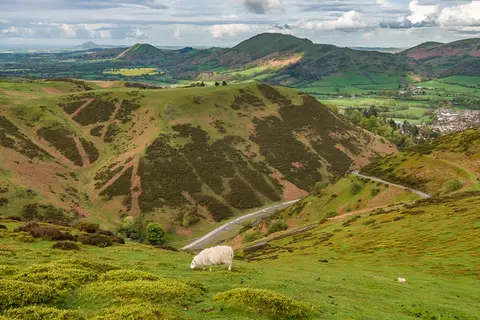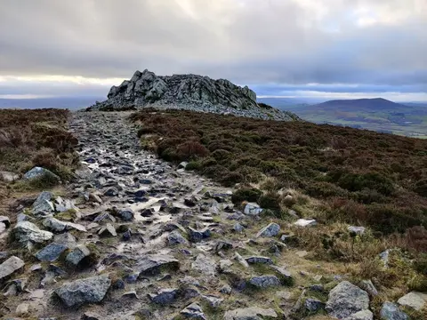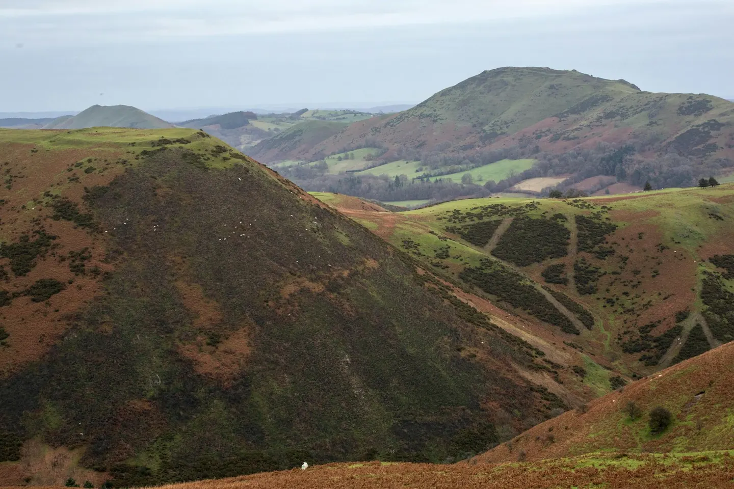
A long plateau of heather moorland above Church Stretton, with an ancient track along the top and steep valleys cut into its eastern side
Open accesson open access land, where the right to roam applies
The Long Mynd is a big whaleback of heather moorland above Church Stretton in the Shropshire Hills, and the name just means “long mountain” (mynd comes from the Welsh word for mountain). From the valley it looks like a solid green wall, but up top it flattens into open heath crossed by an old ridge track, the Portway, that traders and drovers used for thousands of years. The highest point, Pole Bank, is around 516 metres, and on a clear day you can see west to the mountains of mid Wales.
Most people walk up through Carding Mill Valley, the deep cleft on the eastern side, where a stream runs down past the old mill buildings. The National Trust looks after much of the hill and has a car park and café down in the valley. From there you can climb straight to the tops or follow one of the smaller side valleys, called batches locally, that bite back into the plateau. The Shropshire Way also crosses the ground here.
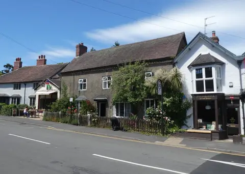
At the foot of the hill, Church Stretton has shops, cafés and a train station on the line between Shrewsbury and Ludlow, which makes it one of the easier hill areas to reach without a car; Little Stretton just down the road has the Ragleth Inn. It is open, exposed ground once you are on the plateau, and the paths across the top can be confusing in low cloud, so take a map and check the forecast before you go up.