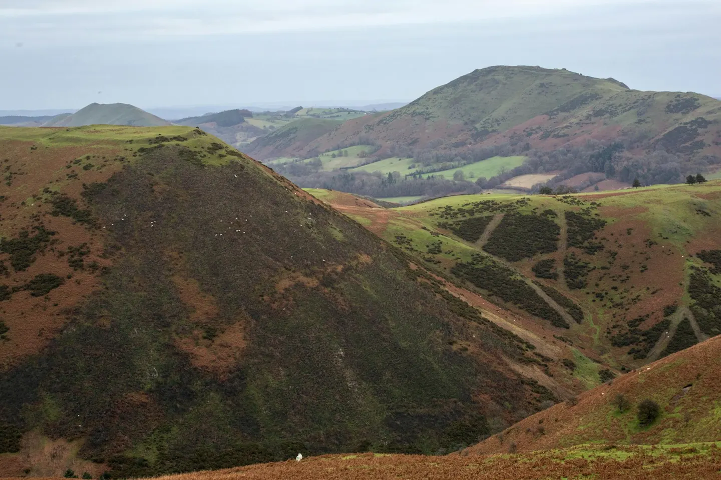
Long MyndPhoto Daniel Sturley / Unsplash
Nature reserves in ShropshireShropshire, England
114 nature reserves in the Albion Guide across Shropshire — see the full nature reserves directory, or everything to explore in Shropshire.
- Long Mynd27 km²
- Earl's Hill
- Wenlock Edge1.4 km²
- Colemere Country Park0.61 km²
- Granville Country Park0.26 km²
- Severn Valley Country Park0.51 km²
- The Mere At Ellesmere Country Park0.64 km²
- Stiperstones Landscape16 km²
- Snailbeach Mine0.01 km²
- Catherton Common1.3 km²
- Clee Hill Quarries0.64 km²
- Fenn's, Whixall and Bettisfield Mosses2.6 km²
- Llanymynech and Llynclys Hills1.1 km²
- Rhos Fiddle0.66 km²
- Titterstone Clee4.2 km²
- Wolverton Wood and Alcaston Coppice0.82 km²
- Fenn's, Whixall & Bettisfield Mosses7.7 km²
- Wyre Forest15 km²
- Betton Dingle and Gulley Green0.1 km²
- Bomere, Shomere and Betton Pools0.6 km²
- Brown Moss0.32 km²
- Brownheath Moss0.05 km²
- Bush Wood and High Wood1 km²
- Chorley Covert and Deserts Wood0.74 km²
- Comley Quarry0.02 km²
- Cornbrook Dingle0.01 km²
- Granham's Moor Quarry0.03 km²
- Grinshill Quarries0.1 km²
- Hill Houses & Crumpsbrook Meadows0.04 km²
- Hillend Quarry0 km²
- Hope Valley0.05 km²
- Huglith Mine0.04 km²
- Linley Big Wood0 km²
- Minsterley Meadows0.05 km²
- Mortimer Forest0.07 km²
- Pennerley Meadows0.07 km²
- Prees Heath0.26 km²
- Teme Bank0.05 km²
- The Wrekin & The Ercall2.9 km²
- Tick Wood and Benthall Edge1.5 km²
- Wem Moss0.29 km²
- Allscott Settling Ponds0.43 km²
- Alveley Grindstone Quarry0.01 km²
- Berrington Pool, Shropshire0.05 km²
- Blodwel Marsh0.01 km²
- Buildwas River Section0.01 km²
- Buildwas Sand Quarry0 km²
- Bullhill Brook0 km²
- Chermes Dingle0.06 km²
- Clarepool Moss0.16 km²
- Claverley Road Cutting0 km²
- Clunton Coppice0.23 km²
- Coston Farm Quarries0.01 km²
- Coundmoor Brook0.04 km²
- Craig Sychtyn0.06 km²
- Crofts Mill Pasture0.03 km²
- Cuckoopen Coppice0.29 km²
- Derrington Meadow0.03 km²
- Devil's Hole, Morville0.03 km²
- Eaton Track0.01 km²
- Farley Dingle0 km²
- Fenemere0.16 km²
- Fernhill Pastures0.11 km²
- Flat Coppice0.19 km²
- Green Farm Quarry0 km²
- Hencott Pool0.12 km²
- Hodnet Heath0.4 km²
- Hope Bowdler Outcrops0 km²
- Hope Valley Meadows0.02 km²
- Hughley Brook0.06 km²
- Lin Can Moss0.02 km²
- Lincoln Hill0.05 km²
- Longville to Stanway Road Section0.01 km²
- Lydebrook Dingle0.21 km²
- Marked Ash Meadows0.07 km²
- Marsh Wood Quarry0.01 km²
- Marton Pool, Chirbury0.17 km²
- Meadowtown Quarry0 km²
- Melverley Farm0.24 km²
- Montgomery Canal, Aston Locks0.07 km²
- Morton Pool and Pasture0.04 km²
- Muxton Marsh0.07 km²
- New Hadley Brickpit0.01 km²
- Newport Canal0.06 km²
- Oak Dingle0.02 km²
- Old River Bed, Shrewsbury0.15 km²
- Onny River Section0.02 km²
- Oss Mere0.29 km²
- Prees Branch Canal0.02 km²
- Prescott Corner0 km²
- Prince's Rough0.01 km²
- Ranters Bank Pastures0.02 km²
- River Severn at Montford0.27 km²
- Ruewood Pastures0.02 km²
- Sheinton Brook0.02 km²
- Shelve Church Section0 km²
- Shelve Pool0.11 km²
- Shrawardine Pool0.18 km²
- Soudley Quarry0 km²
- Spy Wood & Aldress Dingle0.09 km²
- Stocking Meadows, Oreton0.03 km²
- Sweat Mere and Crose Mere0.39 km²
- Sweeney Fen0.01 km²
- Tar Grove Quarry0 km²
- Temeside0 km²
- Thatchers Wood and Westwood Covert0.36 km²
- The Lump, Priestweston0.02 km²
- Trefonen Marshes0.09 km²
- Trewern Brook0.03 km²
- Tyrley Canal Cutting0.05 km²
- Upper Millichope Stream Section0.01 km²
- View Edge Quarries0.03 km²
- White Mere0.32 km²
- Whitwell Coppice0.15 km²