Open accesson open access land, where the right to roam applies
Earthworks onlybanks, ditches and platforms — read the ground, not walls
Save this place
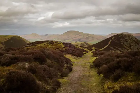
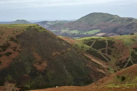
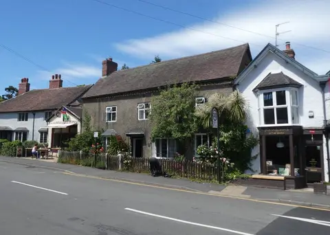
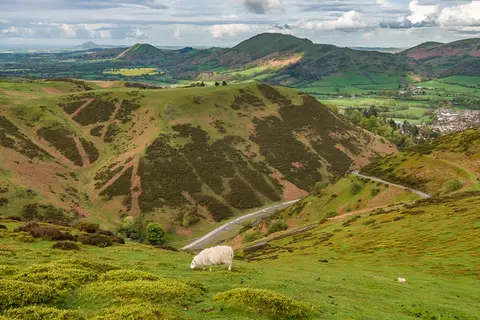
Caer Caradoc hillfort is one of 21 hillforts the Albion Guide charts in Shropshire. It sits within the Shropshire Hills National Landscape. The nearest railway station is Church Stretton, 2.7 km to the south-west. The nearest other hillfort is Bodbury Ring, 3.3 km to the west.
More at the National Heritage List entry