Photo Alexander Edwards / Unsplash
Places to explore near Brecon
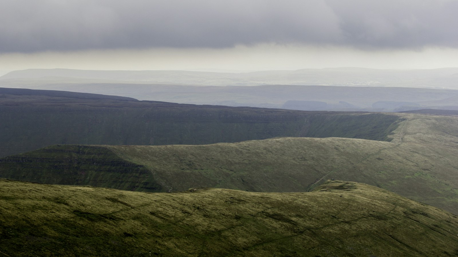
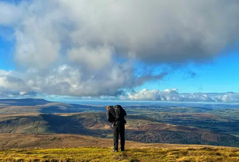
A market town where the Usk and the Honddu meet, Brecon stands at the northern gateway to its national park, cathedral above and old barracks below. South rise the smooth red-sandstone summits of the Beacons — Pen y Fan and Corn Du, the highest ground in southern Britain — with walking straight from the doorstep. The Monmouthshire & Brecon Canal runs south-east along the valley towards Abergavenny, and in the wooded gorges of waterfall country the Mellte drops over falls like Sgwd Clun-Gwyn.
Brecon sits inside the Bannau Brycheiniog National Park. 101 places within 25 km — the standouts first, nearest first within each group. 3 are national icons.
Worth the tripnational icons and local highlights within reach
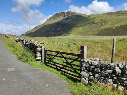
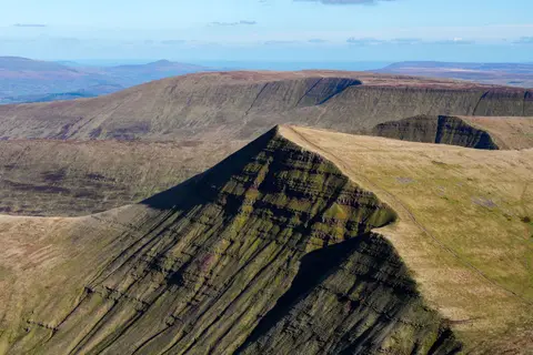
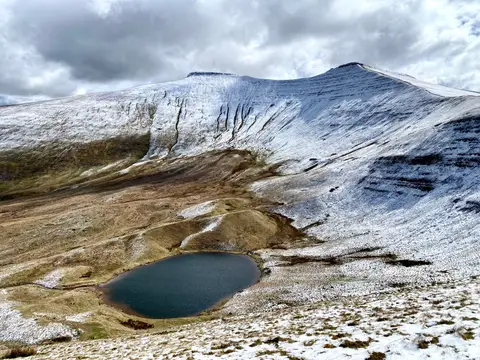
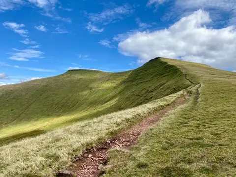
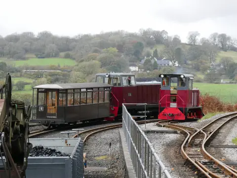
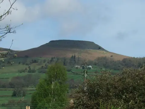
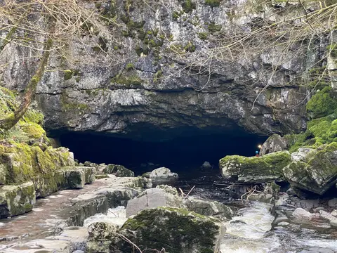
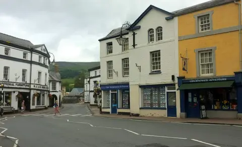
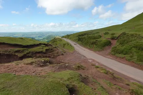
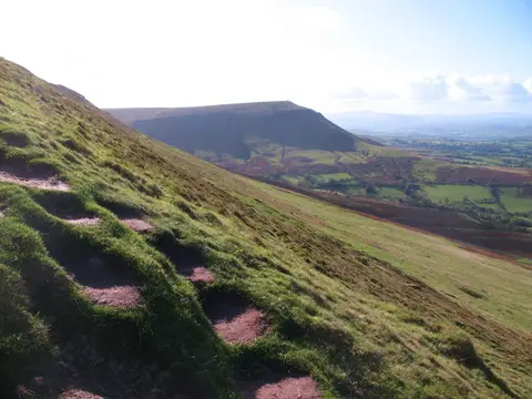
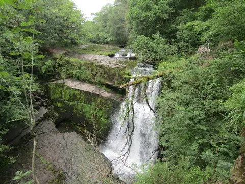
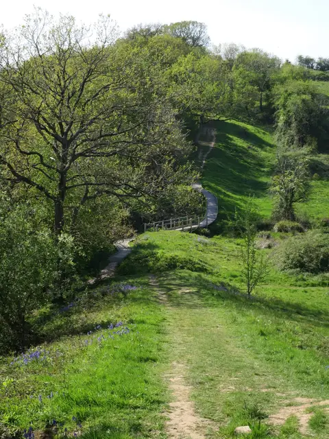
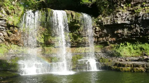
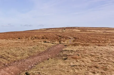
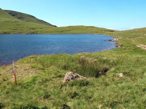
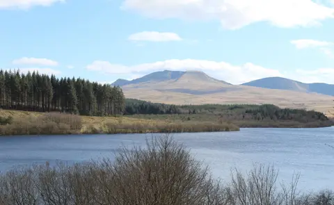
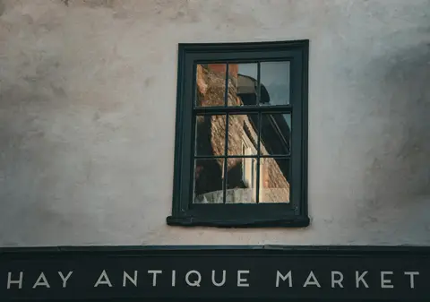
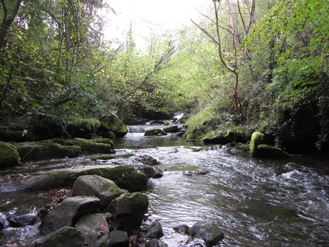
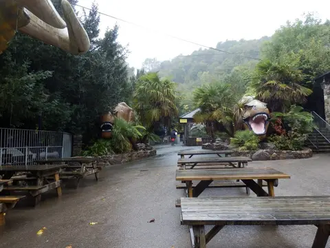
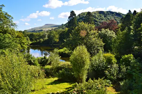
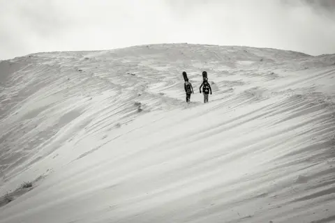
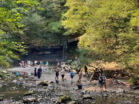
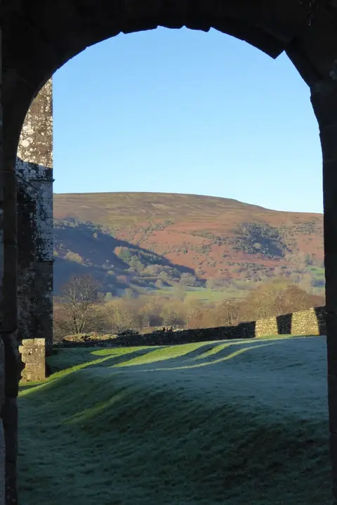
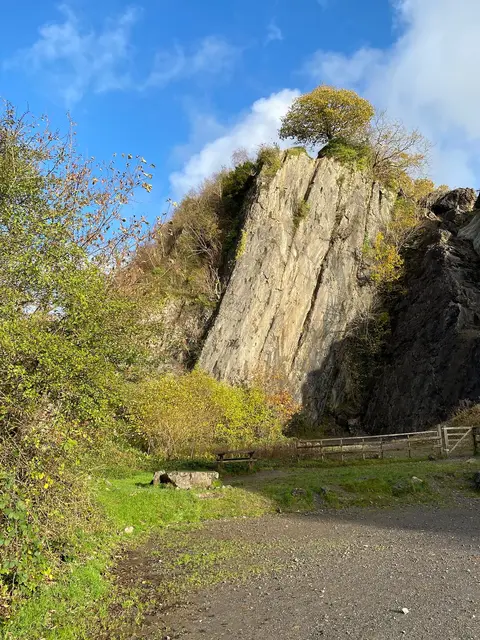
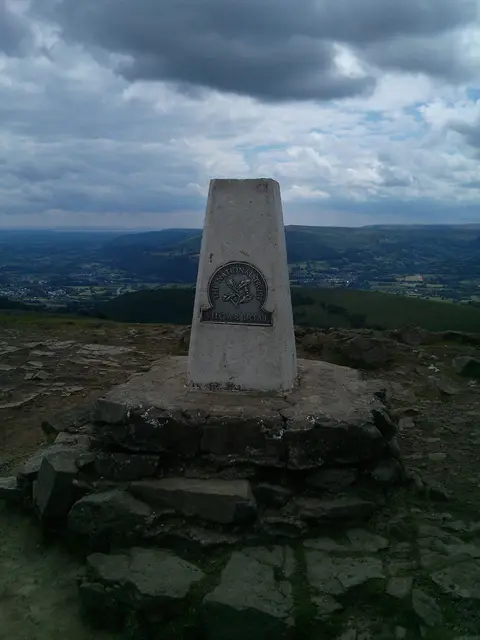
Also nearbygood places nearby, nearest first
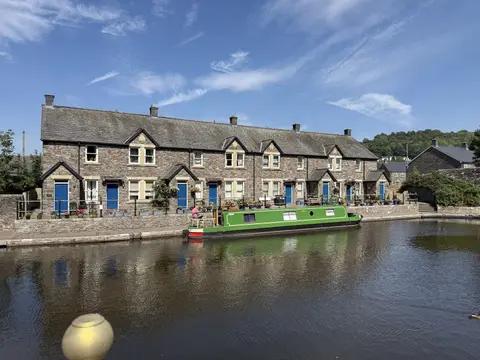
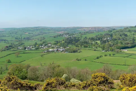
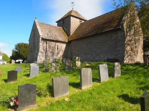
Everything else within 25 km (59) — reserves, earthworks & places to check before travelling
- CribynHewitt7.5 km S
- Beacons WayLong-distance path7.7 km SW
- Waun RyddHewitt8.1 km S
- Bwlch y DdwyalltNuttall8.2 km S
- Craig Gwaun TafNuttall8.7 km SW
- Treberfydd House GardenGarden8.8 km E
- Dan y GyrnCountry estate8.9 km SW
- Llangorse LakeLake9 km E
- Llangorse (Llan-gors)Village9 km E
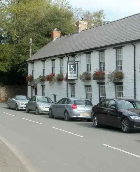
- The Star Inn (Talybont-on-Usk)Pub9.1 km SE
- Talybont-on-UskVillage9.1 km SE
- Tarell ValleyCountry estate9.2 km SW
- Blaen-y-Glyn FallsWaterfall10.8 km S
- Welsh Venison Centre & Beacons Farm ShopFarm & farm shop11 km SE
- Fan FawrHewitt11.8 km SW
- DefynnogVillage11.9 km W
- St Cynog's Church, DefynnogChurch11.9 km W
- Castell BronllysCastle12.1 km NE
- The Tower HotelPub12.2 km NE
- Talgarth MillFarm & farm shop12.2 km NE
- TalgarthVillage12.2 km NE
- St Gwendoline's Church, TalgarthChurch12.4 km NE
- Wye Valley WalkLong-distance path13 km NE
- River WyeRiver navigation13.4 km NE
- LlangynidrVillage14.1 km SE
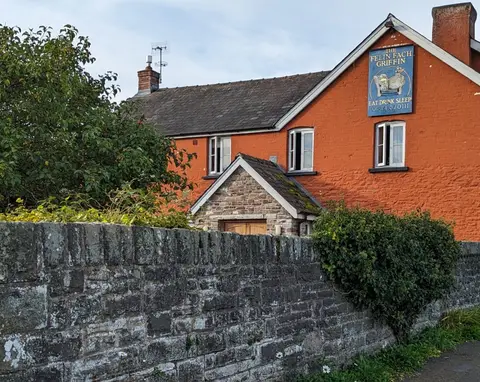
- The Farmers Arms (Cwmdu)Pub14.3 km E
- The Red Lion (Llangynidr)Pub14.3 km SE
- St Michael's Church, CwmduChurch14.3 km E
- Tretower CastleCastle15.7 km SE
- Clywd DwyrainGarden15.8 km SE
- Tretower Court GardenGarden15.8 km SE
- Brecon TapPub0.1 km E
- Llanddew CastleCastleaccess unclear2.5 km NE
- Cefn-Brynich Roman FortRoman archaeological siteaccess unclear3 km E
- The Three Horseshoes (Groesffordd)Pub3.1 km E
- The Old Ford InnPub5.3 km SE
- Ty Illtyd Long BarrowChambered tombaccess unclear5.7 km E
- Fan y BigNuttall7.9 km S
- Y GyrnNuttall8.9 km SW
- Allt yr EsgairMarilyn9.1 km SE
- St Gastyn's Church, Llangasty-TalyllynChurch9.1 km E
- The Usk InnPub9.3 km SE
- Allt LwydNuttall10.2 km S
- Fan FrynychHewitt10.4 km SW
- Craig Cerrig-gleisiadHewitt10.8 km SW
- Penywyrlod Chambered TombChambered tombaccess unclear11 km E
- Tor y FoelMarilyn11.4 km SE
- Castell BlaenllynfiCastleaccess unclear11.4 km SE
- Mynydd LlangorseMarilyn11.6 km E
- Mynydd TroedMarilyn12.1 km E
- Castell-Du, SennybridgeCastleaccess unclear12.5 km W
- Ty-Isaf Long BarrowChambered tombaccess unclear13.7 km E
- Cwm Fforest Long BarrowChambered tombaccess unclear13.8 km E
- Pen-y-gaer Roman Vicus, CwmduRoman archaeological siteaccess unclear14 km SE
- Fan LliaHewitt14.5 km SW
- MyarthMarilynaccess unclear14.7 km SE
- Ffostyll Long BarrowsChambered tombaccess unclear14.8 km NE
- Cefn yr YstradHewitt15.4 km S
- Stone Circle and Round CairnStone circleaccess unclear15.7 km NW
Ordered by how far each place is worth travelling for, then by distance. Distances are straight-line to the nearest edge of each place — paths wind, of course.