Thirty-six lock-free miles of mountain canal through Bannau Brycheiniog, from Brecon down to Cwmbran
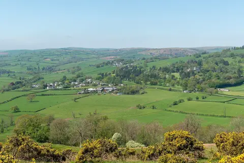
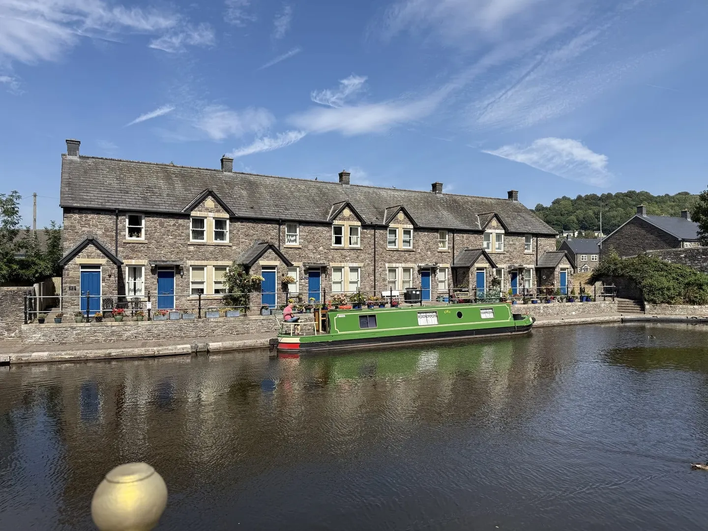
The Monmouthshire & Brecon Canal — the “Mon & Brec” — runs 36 miles (58 km) from Brecon south to Five Locks at Cwmbran. It is one of the most scenic canals in Britain, holding a contour line along the wooded side of the Usk valley inside Bannau Brycheiniog, and for much of its length remarkably level: a single lock-free pound runs 25 miles from Llangynidr all the way to Cwmbran.
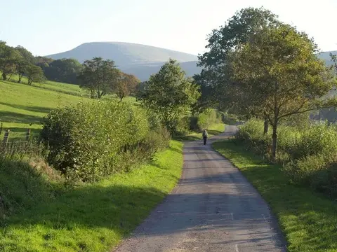
The towpath is a quiet, easy walking and cycling route, and its northern part carries the Taff Trail out of Brecon. It threads past Talybont-on-Usk, the crag of Llangattock above Crickhowell and Abergavenny before dropping through Pontypool towards Newport. Off the main line, the restored Fourteen Locks flight survives on the disused Crumlin arm near Rogerstone.
It was built as two separate canals. The Monmouthshire Canal, opened around Newport in the 1790s, served the ironworks and collieries of the eastern valleys; the Brecknock & Abergavenny Canal was pushed up the Usk to Brecon between 1799 and 1812, backed in part by the Crawshay ironmasters of Merthyr Tydfil. Both were fed by horse-drawn tramroads bringing coal, iron ore and limestone down from the hillsides, and the two companies merged in 1865.
After the trade collapsed the upper canal fell derelict, and the navigable section was restored between 1970 and 1997. It carries boats and wildlife rather than cargo now, and part of the Blaenavon industrial landscape it once served is a World Heritage Site.