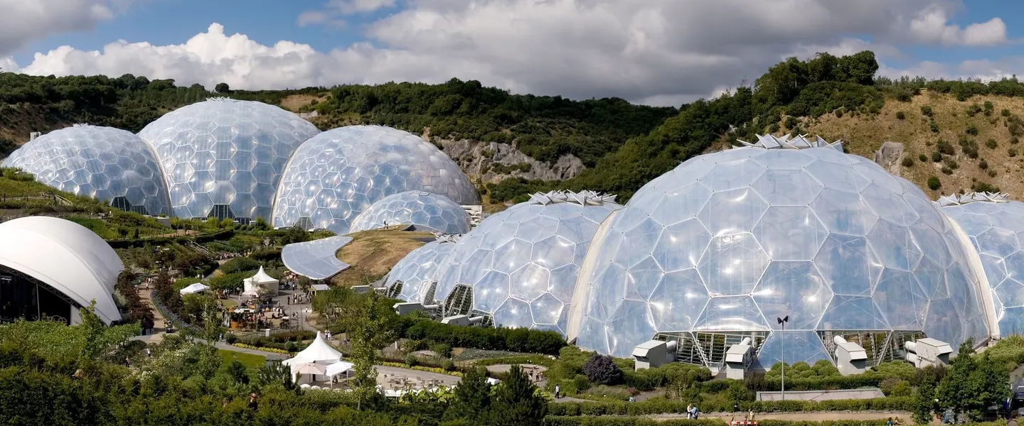
Places to explore near Truro
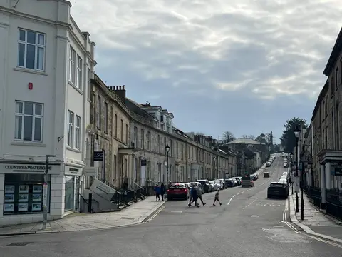
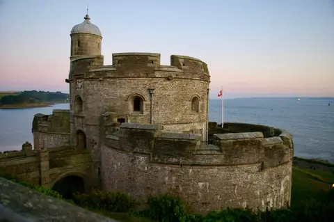
Cornwall's only city, Truro grew rich on tin and copper, its Georgian streets gathered below the three spires of Truro Cathedral, a Victorian building raised on the site of a medieval parish church. The city stands at the head of a creek that widens into the Fal. Downstream, the wooded Upper Fal Estuary gives way to the broad anchorage of Carrick Roads, with the castle and harbour village of St Mawes on the far shore. The quiet lanes and hidden churches of The Roseland reach down to St Anthony's Lighthouse at the estuary mouth.
96 places within 25 km — the standouts first, nearest first within each group. 7 are national icons.
Worth the tripnational icons and local highlights within reach
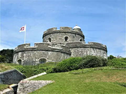
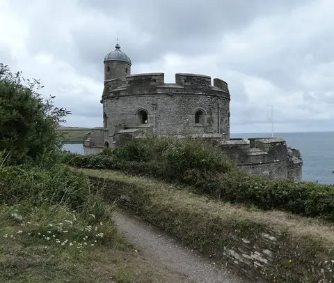
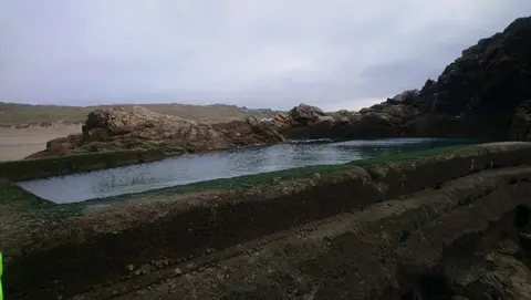
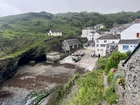
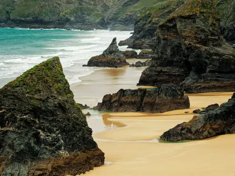

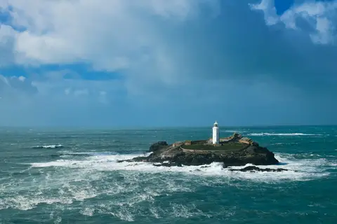
Also nearbygood places nearby, nearest first
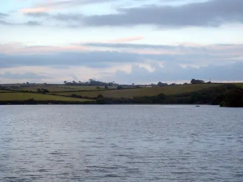
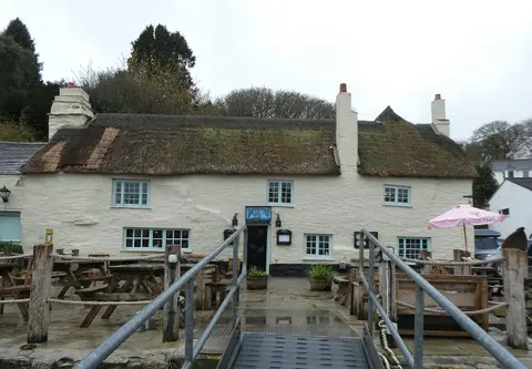


Everything else within 25 km (53) — reserves, earthworks & places to check before travelling
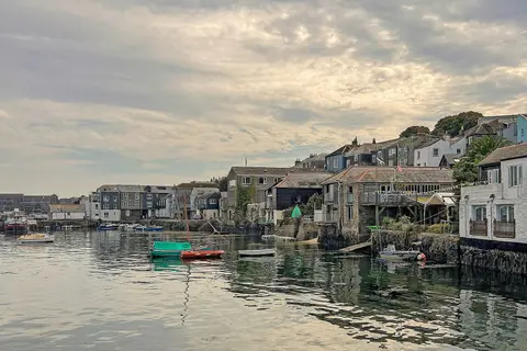
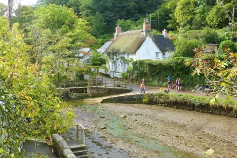
- FlushingVillage10.9 km S
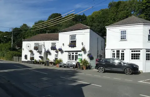
- The Peterville InnPub11.9 km NW
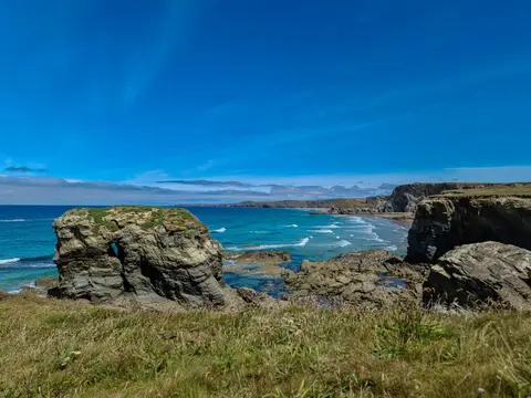
- PerranporthSwimming spot12.1 km NW
- Driftwood SparsPub12.4 km NW
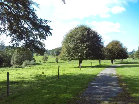
- TrericeHouse & garden13.7 km N
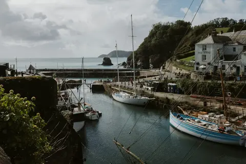
- St Anthony's LighthouseLighthouse13.8 km S
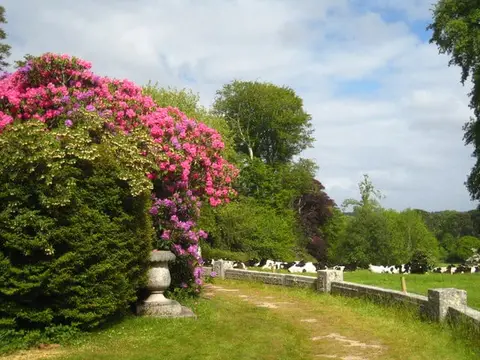
- Caerhays Castle GardenHouse & garden14.8 km E
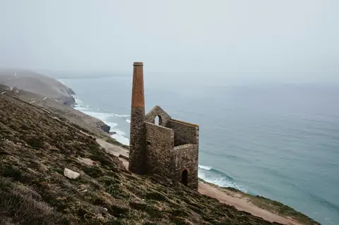
- East Pool MineAncient site15.4 km W
- Malpas EstuarySSSIaccess unclear0.5 km SE
- Polwhele CastleCastleaccess unclear1.8 km NE
- Carrine Common & PenwethersSSSI2.6 km SW
- Upper Fal Estuary and WoodsSSSIaccess unclear2.6 km SE
- Carrick HeathsSSSI3.3 km NW
- Trehane BartonSSSIaccess unclear5.3 km NE
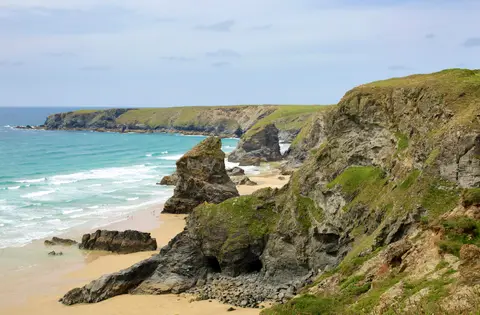
- The RoselandHeritage Coast5.5 km S
- Ventongimps MoorSSSIaccess unclear7.5 km NW
- West Cornwall BryophytesSSSI7.7 km W
- Carnkief PondSSSIaccess unclear8 km NW
- Newlyn DownsSSSI8.7 km N
- Dingerein CastleCastleaccess unclear9.1 km SE
- Lower Fal & Helford IntertidalSSSI9.2 km SE
- Gerrans Bay to Camels CoveSSSIaccess unclear9.4 km SE
- Wheal GorlandSSSIaccess unclear9.5 km W
- PendowerSwimming spot9.7 km SE
- Carricknath Point to Porthbean BeachSSSIaccess unclear9.7 km SE
- Golden CampHillfortaccess unclear10 km E
- PorthcurnickSwimming spot10.2 km SE
- Veryan CastleCastleaccess unclear10.2 km SE
- The Standard InnPub10.7 km SE
- Kiln Sauna, FlushingSauna11.2 km S
- Escape to the Sauna, FalmouthSauna11.5 km S
- Cligga HeadSSSI11.8 km NW
- Crowhill ValleySSSIaccess unclear12.1 km NE
- Cuckoo Rock to Turbot PointSSSI12.2 km SE
- Trevaunance CoveSwimming spot12.4 km NW
- Godrevy Head to St AgnesSSSI12.5 km W
- Perranporth Penhale SandsSwimming spot12.9 km NW
- Resugga CastleCastleaccess unclear12.9 km NE
- South Terras MineSSSIaccess unclear13 km NE
- Soul Sweats, PorthtowanSauna13.1 km W
- GyllyngvaseSwimming spot13.2 km S
- Kiln Sauna, Gylly BeachSauna13.3 km S
- St Agnes Beacon PitsSSSI13.4 km NW
- Cameron QuarrySSSI13.5 km NW
- Chapel PorthSwimming spot13.7 km W
- SwanpoolSwimming spot13.7 km S
- PorthtowanSwimming spot13.9 km W
- Tubby's Head CastlePromontory fort14 km W
- Kelsey HeadSSSI15 km NW
- PorthluneySwimming spot15.1 km E
- Tregargus QuarriesSSSIaccess unclear15.2 km NE
- CarnmenellisMarilyn15.5 km SW
- MaenporthSwimming spot15.6 km S
Ordered by how far each place is worth travelling for, then by distance. Distances are straight-line to the nearest edge of each place — paths wind, of course.