Open accesson National Trust land that is open on foot at all times
Save this place
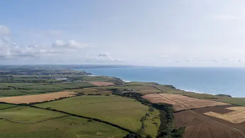
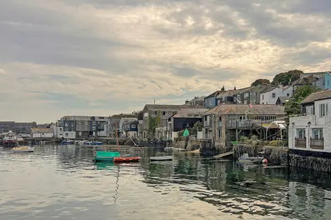
Lower Fal & Helford Intertidal is a Site of Special Scientific Interest in Cornwall of 2.6 km². It is one of 148 SSSIs in the county. It is among the largest in the county. It lies inside Cornwall National Landscape National Landscape.
The nearest other SSSI is Meneage Coastal Section, 4.6 km to the south. The closest station is Falmouth Docks, about 1.2 km to the north-east.