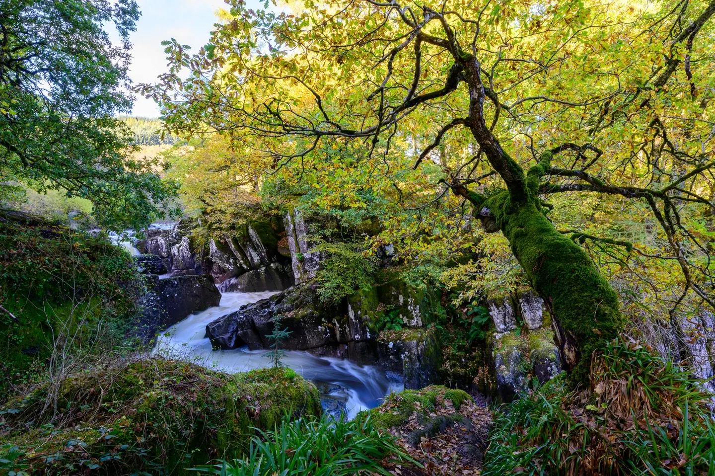
Golitha FallsPhoto Wan Mekwi / Pexels
Nature reserves in CornwallCornwall, England
157 nature reserves in the Albion Guide across Cornwall — see the full nature reserves directory, or everything to explore in Cornwall.
- Golitha Falls0.17 km²
- Bedruthan Steps0.81 km²
- Roche Rock0.02 km²
- Tintagel Cliffs2 km²
- Kit Hill Country Park1.6 km²
- Seaton Country Park0.55 km²
- Tehidy Country Park1 km²
- Erth Barton and Erth Island
- Ethy
- Lower Porkellis
- Mount Edgcumbe Country Park3.6 km²
- Bodmin Moor, North49 km²
- West Penwith Moors and Downs30 km²
- Aire Point to Carrick Du6 km²
- Baulk Head to Mullion1.5 km²
- Caerthillian to Kennack1.4 km²
- Cligga Head1.1 km²
- Coverack to Porthoustock1.7 km²
- Cuckoo Rock to Turbot Point1 km²
- Dozmary Pool1.1 km²
- East Lizard Heathlands2.8 km²
- Godrevy Head to St Agnes6.3 km²
- Goonhilly Downs13 km²
- Gwithian to Mexico Towans3.8 km²
- Hayle Estuary & Carrack Gladden1.9 km²
- Kelsey Head2.2 km²
- Kennack to Coverack2.6 km²
- Loe Pool1.2 km²
- Lower Fal & Helford Intertidal2.6 km²
- Meneage Coastal Section0.78 km²
- Mullion Cliff to Predannack Cliff1.1 km²
- Newlyn Downs1.2 km²
- Pentire Peninsula1.1 km²
- Polruan to Polperro2.1 km²
- Porthgwarra to Pordenack Point1.6 km²
- Rame Head & Whitsand Bay1.6 km²
- Rock Dunes0.67 km²
- Rosenannon Bog and Downs1.3 km²
- Steeple Point to Marsland Mouth3.3 km²
- Trelow Downs1.5 km²
- Upper Fowey Valley1.3 km²
- West Lizard7.8 km²
- Mid Cornwall Moors11 km²
- Borlasevath and Retallack Moor0.53 km²
- Bude Coast0.59 km²
- Cameron Quarry0 km²
- Carrick Heaths0.43 km²
- Carrine Common & Penwethers0.46 km²
- Castle Down (Tresco)0.58 km²
- Chyenhal Moor0.12 km²
- Coombe Mill0 km²
- Crow's Nest0.19 km²
- Cudden Point to Prussia Cove0.15 km²
- De Lank Quarries0.22 km²
- Duckpool to Furzey Cove0.88 km²
- Gerrans Bay to Camels Cove1.3 km²
- Great Wheal Fortune0.01 km²
- Hawkstor Pit0.06 km²
- Hingston Down Quarry & Consols0.25 km²
- Kingsand to Sandway Point0.06 km²
- Lower Bostraze and Leswidden0.02 km²
- Lynher Estuary6.7 km²
- Malpas Estuary1 km²
- Marazion Marsh0.6 km²
- Meddon Moor0.31 km²
- Merthen Wood0.72 km²
- Nance Wood0.1 km²
- Park Wood (Cornwall)0.32 km²
- Phoenix United Mine0.3 km²
- Plymouth Sound Shores and Cliffs0.44 km²
- Porthcew0.1 km²
- Redlake Meadows & Hoggs Moor0.3 km²
- St Agnes Beacon Pits0.08 km²
- St John's Lake2.7 km²
- St. Mewan Beacon0.01 km²
- Tamar - Tavy Estuary14 km²
- Tater-Du0.05 km²
- Trebetherick Point0.2 km²
- Treen Cliff0.49 km²
- Tregonning Hill0.05 km²
- Tremearne Par0.15 km²
- Upper Fal Estuary and Woods5.8 km²
- West Cornwall Bryophytes0.54 km²
- Amble Marshes0.56 km²
- Annet0.24 km²
- Big Pool & Browarth Point (St Agnes)0.09 km²
- Boconnoc Park & Woods0.5 km²
- Boscawen0.06 km²
- Brendonmoor0.14 km²
- Cabilla Manor Wood0.15 km²
- Carn Grey Rock and Quarry0.02 km²
- Carnkief Pond0.11 km²
- Carricknath Point to Porthbean Beach0.5 km²
- Chapel Down (St. Martin's)0.34 km²
- Clicker Tor Quarry0.04 km²
- Crocadon Quarry0 km²
- Crowhill Valley0.42 km²
- Eastern Isles0.36 km²
- Eglarooze Cliff0.34 km²
- Folly Rocks0.03 km²
- Great Pool (Tresco)0.17 km²
- Greenamoor0.32 km²
- Greenscoombe Wood , Luckett0.29 km²
- Greystone Quarry0.04 km²
- Grimscott0.11 km²
- Harbour Cove0.29 km²
- Higher Moors and Porth Hellick Pool0.16 km²
- Kernick and Ottery Meadows0.29 km²
- Lidcott Mine0 km²
- Loggans Moor0.11 km²
- Lower Moors (St. Mary's)0.1 km²
- Luxulyan Quarry0.51 km²
- Lymsworthy Meadows0.07 km²
- Minster Church0.01 km²
- Mulberry Downs Quarry0.04 km²
- Norrard Rocks0.13 km²
- Ottery Valley0.32 km²
- Penberthy Croft Mine0.02 km²
- Peninnis Head (St. Mary's)0.16 km²
- Penlee Point0.03 km²
- Penlee Quarry0.25 km²
- Pentle Bay, Merrick and Round Islands0.43 km²
- Plains & Great Bay (St. Martin's)0.14 km²
- Polyne Quarry0 km²
- Polyphant0.03 km²
- Pool of Bryher and Popplestone Bank0.06 km²
- Porth Seal (St. Martin's)0.01 km²
- Porthleven Cliffs0.07 km²
- Porthloo0.01 km²
- Rosemullion0.17 km²
- Rosenun Lane0 km²
- Rushy Bay & Heathy Hill (Bryher)0.12 km²
- Shipman Head & Shipman Down (Bryher)0.4 km²
- South Terras Mine0.01 km²
- St Helen's, Isles of Scilly0.26 km²
- St. Austell Clay Pits0.01 km²
- St. Erth Sand Pits0.04 km²
- St. Martin's Sedimentary Shore0.34 km²
- Stepper Point0.02 km²
- Stourscombe Quarry0 km²
- Sylvia's Meadow0.05 km²
- Talland Barton Farm0.02 km²
- Tean0.19 km²
- Tregargus Quarries0.02 km²
- Trehane Barton0 km²
- Trelavour Downs0 km²
- Ventongimps Moor0.08 km²
- Viverdon Quarry0 km²
- Watermill Cove0 km²
- Western Rocks0.1 km²
- Wheal Alfred0.01 km²
- Wheal Gorland0 km²
- Wheal Martyn0 km²
- Wheal Penrose0.01 km²
- White Island (off St. Martin's)0.16 km²
- Wingletang Down (St. Agnes)0.28 km²
- Yeolmbridge Quarry0.01 km²