
Angel of the NorthPhoto Boris YUE / Unsplash
Places to explore near Sunderland
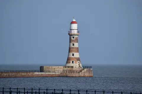
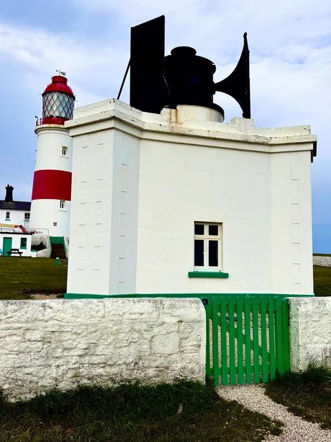
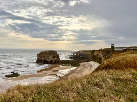
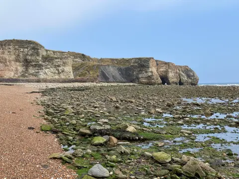
Where the Wear meets the North Sea, Sunderland grew on coal, glass and shipbuilding, and the Anglo-Saxon monastery at Monkwearmouth marks far older roots. The seafront runs north through the piers of Roker and the sands of Seaburn, and south past the striped tower of Souter Lighthouse to the sea-stack drama of Marsden Rock. Inland, the classical Penshaw Monument crowns its hill above the river, a Wearside landmark for miles around.
96 places within 25 km — the standouts first, nearest first within each group. 9 are national icons.
Worth the tripnational icons and local highlights within reach

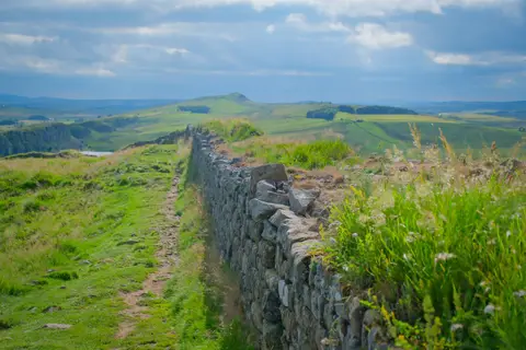
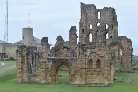
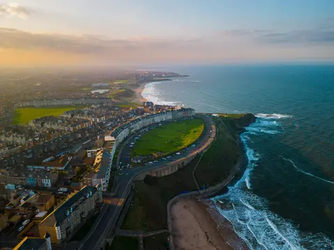

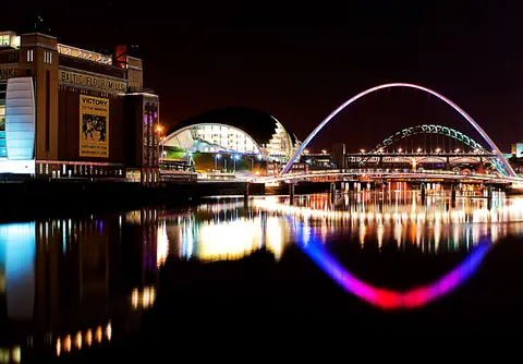
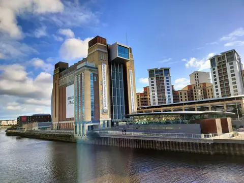
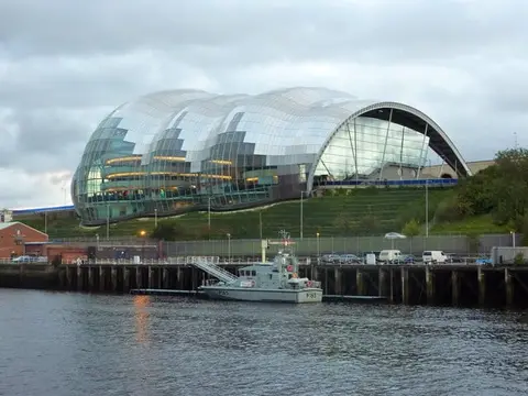

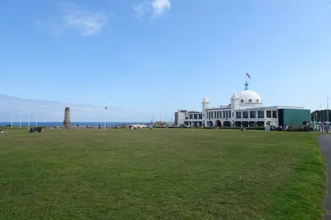
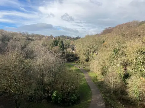
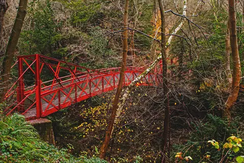
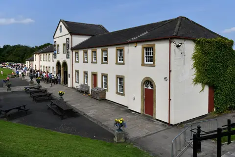
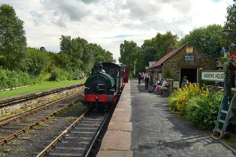
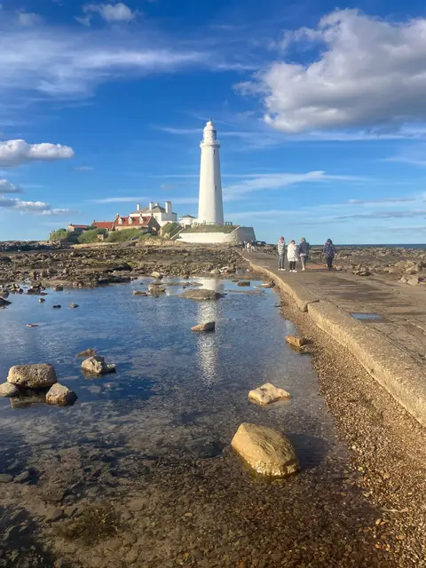


Also nearbygood places nearby, nearest first



Everything else within 25 km (58) — reserves, earthworks & places to check before travelling
- Washington Old HallHouse & garden8.7 km W
- Hetton Lyons Country ParkCountry park9.5 km S
- St Paul's Church, JarrowChurch10.1 km NW
- Tynemouth Long SandsSwimming spot13.4 km N
- Monkwearmouth Anglo-Saxon monasteryMonasteryaccess unclear0.9 km NE
- H3O Beach Saunas, Sunderland Yacht ClubSauna1.8 km NE
- H3O Beach Saunas, Roker HarbourSauna2.1 km NE
- Tunstall Hills and Ryhope CuttingSSSIaccess unclear2.3 km S
- Roker - SunderlandSwimming spot2.4 km NE
- Humbledon Hill QuarrySSSIaccess unclear2.4 km SW
- Fulwell & Carley Hill QuarriesSSSIaccess unclear2.6 km N
- DurhamHeritage Coast3.3 km SE
- Claxheugh Rock & Ford Limestone QuarrySSSIaccess unclear3.4 km W
- H3O Beach Saunas, SeaburnSauna3.5 km N
- Seaburn - SunderlandSwimming spot3.6 km N
- Wear River BankSSSIaccess unclear3.6 km W
- Gilleylaw QuarrySSSIaccess unclear3.9 km SW
- South Hylton PastureSSSIaccess unclear3.9 km W
- Hylton Castle CuttingSSSIaccess unclear4.1 km NW
- Boldon PasturesSSSIaccess unclear4.8 km N
- Hastings HillSSSIaccess unclear5.1 km SW
- Boldon HillsCounty topaccess unclear5.7 km NW
- Cleadon HillSSSIaccess unclear5.9 km N
- Herrington HillSSSIaccess unclear6.3 km SW
- West Farm Meadow, BoldonSSSIaccess unclear6.3 km NW
- Dawson's Plantation QuarrySSSIaccess unclear6.4 km W
- Seaham Hall BeachSwimming spot6.7 km S
- Warden LawCounty topaccess unclear7 km SW
- High Haining HillSSSIaccess unclear7.3 km SW
- MarsdenSwimming spot8 km N
- H3O Beach Saunas, SharpleySauna8 km S
- Harton Down HillSSSIaccess unclear8.5 km N
- Eppleton GrasslandSSSI9.7 km S
- Hetton BogsSSSIaccess unclear9.7 km SW
- Stony Cut, Cold HesledonSSSIaccess unclear9.7 km S
- Earth Bond, SandhavenSauna10.1 km N
- H3O Beach Saunas, SandhavenSauna10.1 km N
- Hesledon Moor EastSSSIaccess unclear10.3 km S
- South ShieldsSwimming spot10.6 km N
- Joe's PondSSSIaccess unclear10.7 km SW
- Hawthorn QuarrySSSIaccess unclear11 km S
- Littlehaven BeachSwimming spot11.3 km N
- Hawthorn DeneSSSIaccess unclear11.3 km S
- H3O Beach Saunas, Little HavenSauna11.4 km N
- ArbeiaRoman archaeological siteaccess unclear11.5 km N
- Hesledon Moor WestSSSIaccess unclear11.5 km S
- Bill Quay Community Farm Country ParkCountry park11.7 km NW
- Northumberland ShoreSSSI11.9 km N
- Moorsley BanksSSSIaccess unclear12.3 km SW
- The View (Tynemouth)Pub12.3 km N
- Tynemouth to Seaton SluiceSSSIaccess unclear12.5 km N
- Pig HillSSSIaccess unclear12.7 km S
- Platform 2Pub12.7 km N
- Tynemouth King Edwards BaySwimming spot12.8 km N
- High MoorsleySSSIaccess unclear12.9 km SW
- Steam & SaltSauna13.3 km N
- Concangium Roman fortRoman archaeological siteaccess unclear13.4 km SW
- St Mary & St Cuthbert, Chester-le-StreetChurch13.4 km SW
Ordered by how far each place is worth travelling for, then by distance. Distances are straight-line to the nearest edge of each place — paths wind, of course.