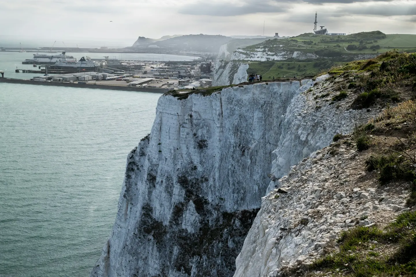
Places to explore near Canterbury
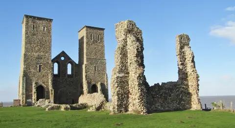
The cradle of English Christianity, Canterbury has drawn pilgrims since Becket's murder in 1170, and Canterbury Cathedral still rises over the medieval streets and city walls beside the ruins of St Augustine's Abbey. The little River Stour threads through and around the old town. The chalk of the North Downs Way climbs to the south, and ancient woodland survives north-west at Blean Woods. The coast lies a short way north, with oysters and colour-washed cottages at Whitstable and the twin Roman-and-Saxon towers of Reculver on their eroding cliff.
102 places within 25 km — the standouts first, nearest first within each group. 3 are national icons.
Worth the tripnational icons and local highlights within reach
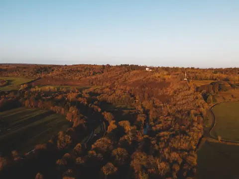
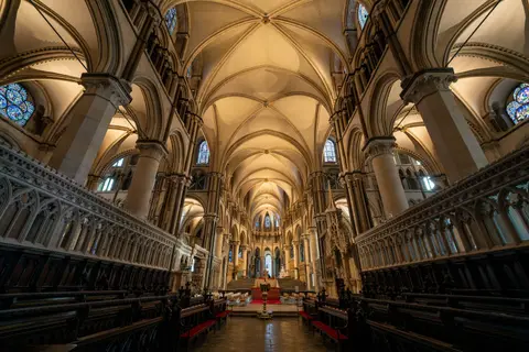
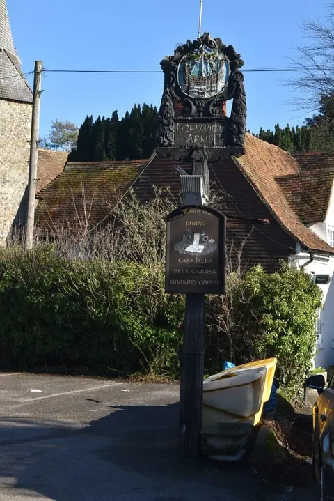
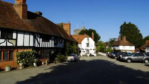
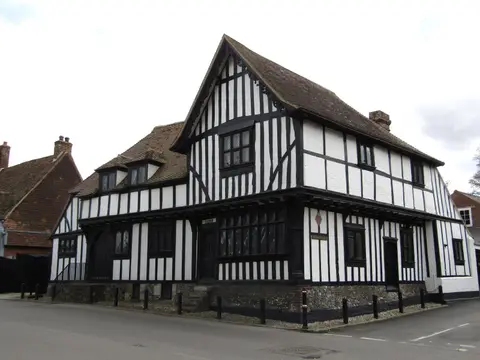
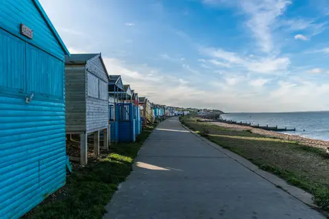
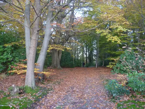

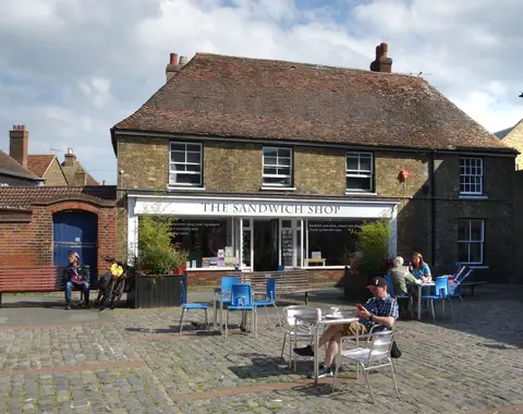
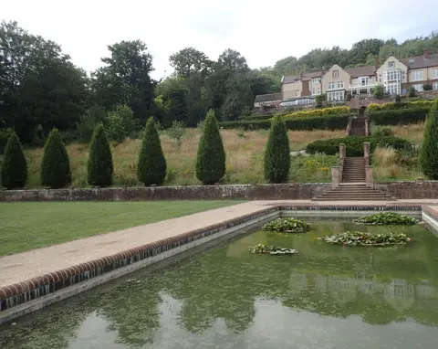
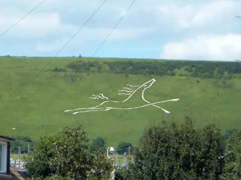



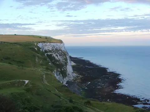
Also nearbygood places nearby, nearest first
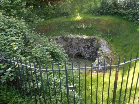
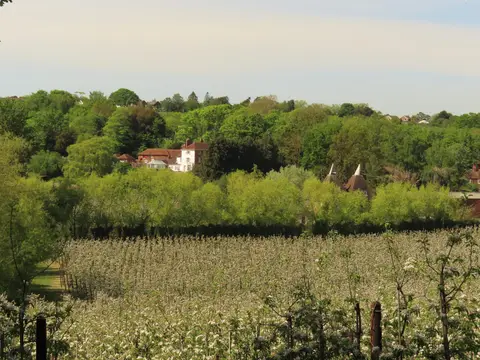
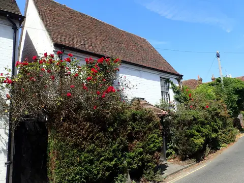

Everything else within 25 km (53) — reserves, earthworks & places to check before travelling
- WinghamVillage9.6 km E
- Simpsons Wine EstateVineyard9.9 km SE
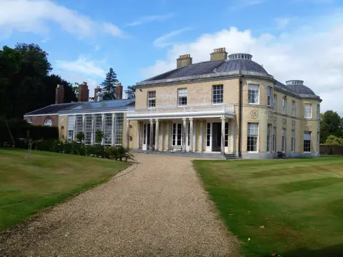
- Goodnestone Park GardensHouse & garden11.1 km E
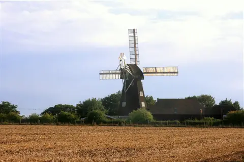
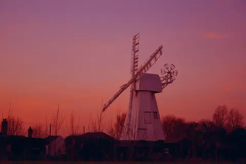
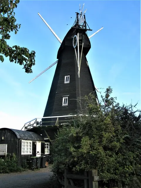
- Davison's MillWindmill11.4 km S
- Chillenden WindmillWindmill12.5 km E
- The SwaleNational Nature Reserve13.6 km NW
- ElhamVillage14.2 km S
- Elham: KingpostHouse & garden14.3 km S
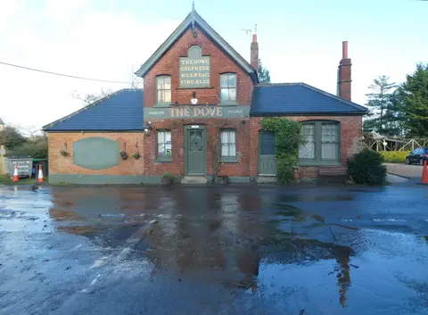
- Shipwright's ArmsPub14.3 km NW
- WyeVillage14.6 km SW
- Maison Dieu, OspringeAttraction14.8 km W
- Leysdown Coastal Country ParkCountry park15.3 km NW
- Faversham Stone ChapelChapel15.9 km W
- St Mary the Virgin, BrookChurch15.9 km SW
- Sts Cosmas and Damian, ChallockChurch16.2 km SW
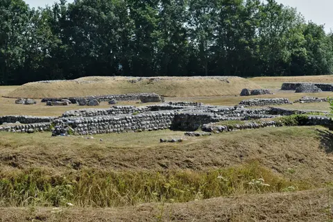
- St John's Commandery, SwingfieldPreceptory16.3 km SE
- Canterbury CastleCastleaccess unclear0.6 km SW
- Chequer's Wood and Old ParkSSSIaccess unclear1.8 km NE
- Blean WoodsNational Nature Reserve2.9 km NW
- West Blean and Thornden WoodsSSSI2.9 km N
- Larkey Valley WoodSSSIaccess unclear3 km SW
- Sturry PitSSSIaccess unclear3.9 km NE
- St Mary's, PatrixbourneChurch4.9 km SE
- Ellenden WoodSSSIaccess unclear5.8 km NW
- East Blean WoodsSSSI6.5 km NE
- StodmarshNational Nature Reserve7.1 km E
- Ileden and Oxenden WoodsSSSIaccess unclear8.3 km SE
- Preston MarshesSSSIaccess unclear8.3 km E
- Down BankSSSIaccess unclear8.6 km SW
- Lynsore BottomSSSIaccess unclear9.1 km S
- Chilham Castle keepCastleaccess unclear9.4 km SW
- West Beach, WhitstableSwimming spot9.5 km NW
- Thanet CoastSSSI9.5 km N
- Tankerton SlopesSSSIaccess unclear9.7 km N
- TankertonSwimming spot9.8 km N
- Yockletts BankSSSIaccess unclear9.8 km S
- WyeNational Nature Reserve9.9 km SW
- Chilham CastleHouse & gardenaccess unclear10 km SW
- Sea Scrub Sauna, WhitstableSauna10 km N
- The Gate InnPub10.4 km NE
- Herne Bay CentralSwimming spot10.6 km N
- The SportsmanPub11 km NW
- Herne BaySwimming spot11.3 km N
- Park Wood, ChilhamSSSIaccess unclear11.3 km SW
- Godmersham ParkHouse & gardenaccess unclear11.6 km SW
- Parkgate DownSSSI11.9 km S
- Sea Scrub Sauna, FavershamSauna12.6 km W
- The site of St Saviour's AbbeySite of a former abbeyaccess unclear13.4 km W
- St Nicholas, BarfrestonChurch13.9 km SE
- Stowting CastleEarthworks of a former castleaccess unclear16.1 km S
- Ringwork and bailey at Coldred CourtEarthworks of a former castleaccess unclear16.2 km SE
- Alkham, Lydden and Swingfield WoodsSSSI16.5 km SE
- Lydden Temple EwellNational Nature Reserve16.7 km SE
Ordered by how far each place is worth travelling for, then by distance. Distances are straight-line to the nearest edge of each place — paths wind, of course.