Places to explore near Stirling
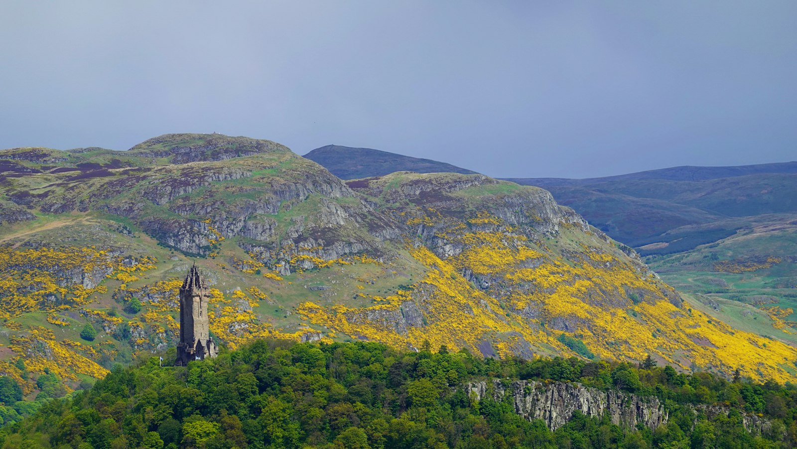
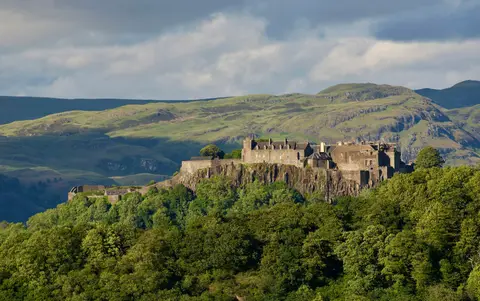
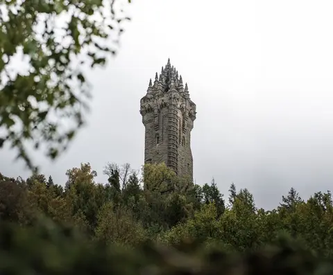
Long the strategic key to Scotland, Stirling guards the narrowest crossing of the River Forth, its castle set on a volcanic crag where the Lowlands give way to the Highland edge. Two decisive battles were fought within sight of the town — Bannockburn to the south, and Stirling Bridge below the National Wallace Monument. The Ochil Hills rise abruptly to the north-east, Dumyat their nearest and most-climbed summit, and the lochs and peaks of Loch Lomond & The Trossachs open the way west, Ben Ledi among the first to draw the eye.
97 places within 25 km — the standouts first, nearest first within each group. 7 are national icons.
Worth the tripnational icons and local highlights within reach

Also nearbygood places nearby, nearest first
Everything else within 25 km (57) — reserves, earthworks & places to check before travelling
- McKechnie's Farm ShopFarm & farm shop4.9 km NE
- Arnhall CastleCastle6.3 km NW
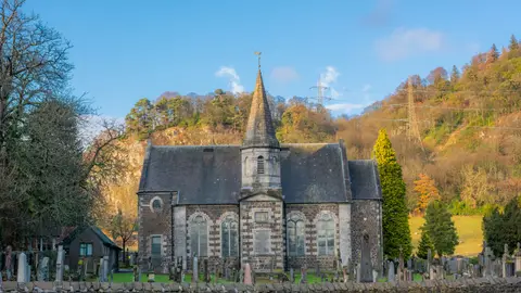
- Tullibody Old KirkChurch6.7 km E
- Williams Bros Brewing CoBrewery7.6 km E
- DunblaneVillage8.1 km N
- St Blane's House GardenGarden8.1 km N
- Gargunnock House GardenGarden8.2 km W
- Blair Drummond Smiddy Farm Shop & CaféFarm & farm shop8.3 km NW
- St Mungo's Parish Church, AlloaChurch8.7 km E
- Harviestoun BreweryBrewery10 km E
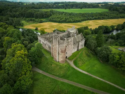
- Doune Castle & Roman CampRoman fort10.5 km NW
- DouneVillage10.8 km NW
- Clackmannan TowerCastle11 km E
- Kilbryde Castle GardensGarden11.2 km NW
- Airth Old Parish ChurchChurch11.5 km SE
- Deanston DistilleryDistillery11.6 km NW
- ClackmannanVillage11.7 km E
- Ben CleuchGraham12.9 km NE
- Forth & Clyde and Union Canal TowpathScotland's Great Trail13.2 km S
- Forth & Clyde CanalCanal13.2 km S
- Tulliallan CastleCastle13.8 km E
- Antonine Wall, Seabegs WoodFrontier wall14 km S
- Antonine Wall (Falkirk)Frontier wall14.1 km S
- Norrieston Parish ChurchChurch14.3 km NW
- The Lion & UnicornPub14.4 km NW
- KippenVillage14.5 km W
- Kippen Parish ChurchChurch14.7 km W
- Union CanalCanal14.8 km SE
- Antonine Wall, CastlecaryFrontier wall15 km S
- Antonine Wall, TamfourhillFrontier wall15 km SE
- Antonine Wall, Tamfourhill, FalkirkFrontier wall15 km SE
- Loup of FintryWaterfall15.2 km SW
- Antonine Wall (North Lanarkshire)Frontier wall15.3 km S
- Antonine Wall - BantaskinFrontier wall15.3 km SE
- Antonine Wall - TollparkFrontier wall15.7 km S
- Falkirk Trinity ChurchChurch16 km SE
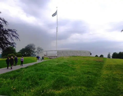
- Battle of Stirling BridgeBattlefield1.7 km N
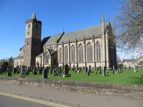
- Holy Trinity Church, Bridge of AllanChurch4.1 km N
- Battle of SauchieburnBattlefield4.6 km S
- DumyatMarilyn5.9 km NE
- Bruce's Castle (Stirling)Castle8.1 km SE
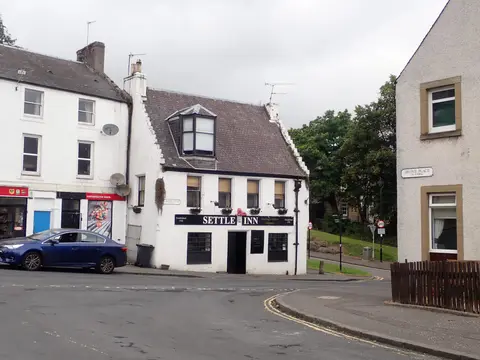
- Sheriffmuir InnPub8.9 km N
- AlvaVillage9.4 km NE
- CarleatheranMarilyn10.9 km W
- Blairdenon HillDonald11 km NE
- ColdochBroch11.1 km NW
- Darrach HillCounty top11.3 km S
- AirthVillage11.4 km SE
- Battle of SheriffmuirBattlefield11.9 km N
- Sir John de Graham's CastleCastle13.7 km SW
- Camelon, Roman fortsRoman archaeological site13.9 km SE
- The Cross KeysPub14.6 km W
- The Inn at KippenPub14.6 km W
- Flanders MossNational Nature Reserve15 km W
- King's Seat HillDonald15.2 km NE
- Station House Roman campFrontier wall15.2 km SE
- Battle of KilsythBattlefield15.7 km S
Ordered by how far each place is worth travelling for, then by distance. Distances are straight-line to the nearest edge of each place — paths wind, of course.