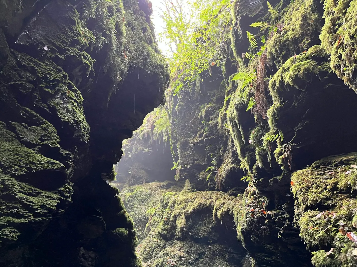
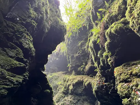
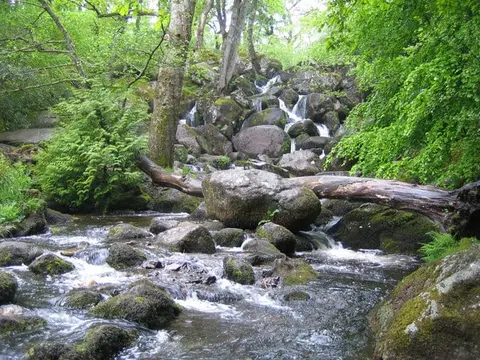
Lydford GorgePhoto Andy Goldsby / Unsplash
Places to explore near Okehampton
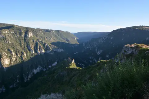
A market and former stannary town on the northern rim of Dartmoor, Okehampton sits below the moor's highest ground where the West Okement runs down from the hills. The ruins of Okehampton Castle, the largest in Devon, stand on a spur above the river. Straight south rise the granite tors of High Willhays and Yes Tor, the only points in southern England above 2,000 feet, on the open ranges of Dartmoor. West lies the oak-hung chasm of Lydford Gorge, and Lutyens's Castle Drogo guards the Teign to the south-east.
93 places within 25 km — the standouts first, nearest first within each group. 6 are national icons.
Worth the tripnational icons and local highlights within reach

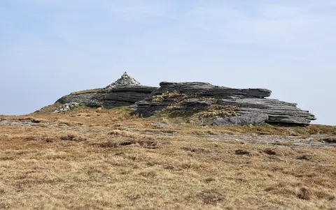
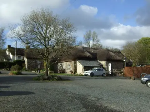
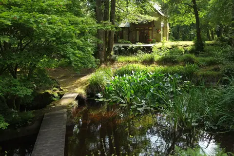

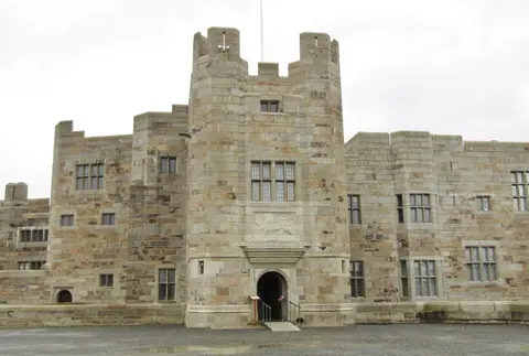
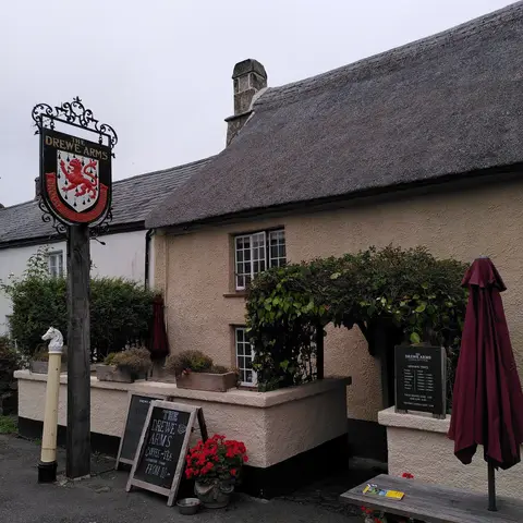
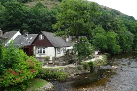
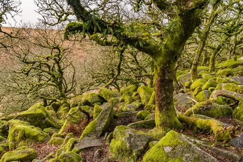
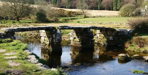
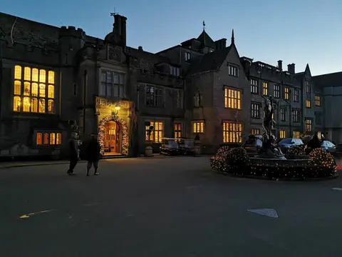
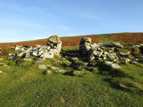
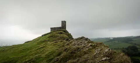
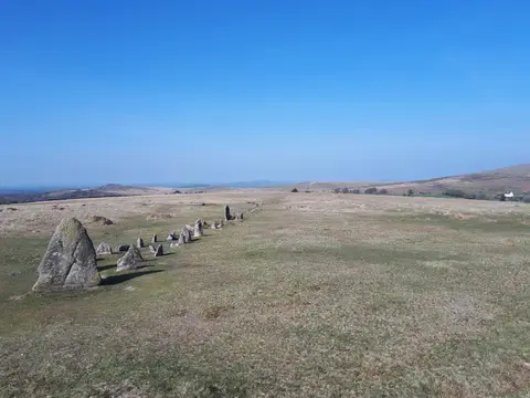
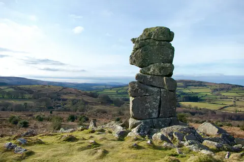
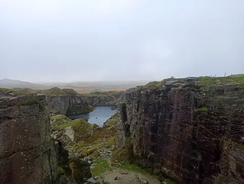
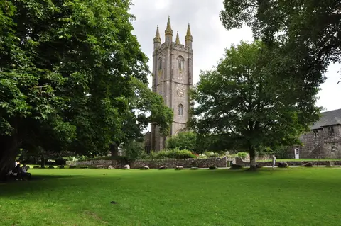
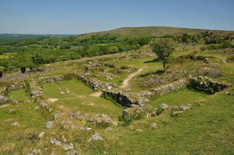
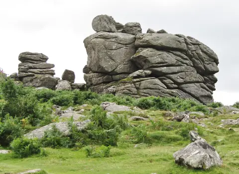
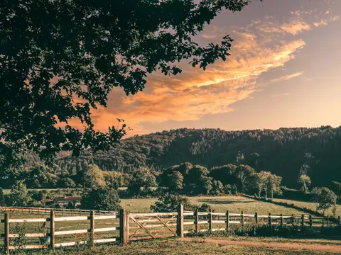
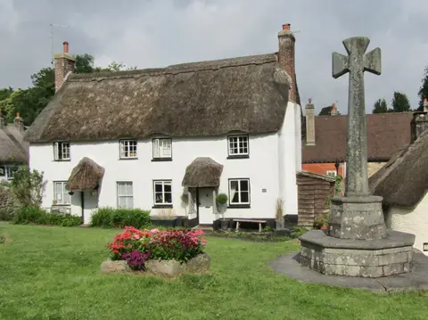
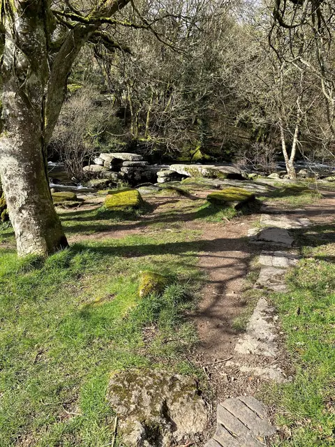

Also nearbygood places nearby, nearest first

Everything else within 25 km (56) — reserves, earthworks & places to check before travelling
- Alder VineyardVineyard14 km SW
- DrewsteigntonVillage14.5 km E
- Wheal BetsyAncient site15.2 km SW
- Warren House InnPub16.7 km SE
- PostbridgeVillage17.4 km S
- Okehampton CastleEarthworks of a former castle1 km S
- Okehampton Park FlushSSSIaccess unclear1.2 km S
- Okehampton Roman fortRoman archaeological siteaccess unclear1.3 km NE
- North DartmoorSSSI2.1 km S
- Halstock WoodSSSI2.3 km SE
- Meldon QuarrySSSI2.4 km SW
- Meldon Aplite QuarrySSSI3.6 km SW
- Yes TorNuttall5.1 km S
- Southmoor FarmSSSIaccess unclear5.2 km NW
- Gilmoor and MoorlandsSSSIaccess unclear5.4 km NE
- Black-a-Tor CopseNational Nature Reserve6 km S
- Triple stoneStone row6.7 km SE
- Wood HouseHouse & gardenaccess unclear6.8 km E
- Hannaborough QuarrySSSIaccess unclear9.6 km NW
- Scorhill stone circleStone circle10.3 km SE
- Broadbury CastleCastleaccess unclear10.3 km W
- Castle CourtEarthworks of a former castleaccess unclear10.3 km NE
- Gidleigh CastleCastleaccess unclear10.7 km SE
- Whiddon Moor, Luckroft and Odham MarshesSSSIaccess unclear10.9 km NW
- Coombe MeadowSSSIaccess unclear11.1 km NW
- Ribsons MeadowsSSSIaccess unclear11.2 km NW
- Hollow Moor & Odham MoorSSSIaccess unclear11.3 km NW
- Staddon MoorSSSIaccess unclear11.7 km NE
- Rushford WoodSSSIaccess unclear12.1 km SE
- Lydford Castle and Saxon townSite of a former castle12.9 km SW
- Fernworthy CircleStone circleaccess unclear13 km SE
- The Grey WethersStone circle13.2 km SE
- Millsome CastleCastleaccess unclear13.3 km NE
- Croft CastleCastleaccess unclear13.6 km N
- Court CastleCastleaccess unclear13.8 km N
- East DartmoorSSSI13.9 km SE
- Stone alignment at AssycombeStone rowaccess unclear14.6 km SE
- Whiddon Deer ParkSSSI14.6 km E
- Nymet Barton MarshSSSIaccess unclear14.8 km NE
- Lydford Railway PondsSSSIaccess unclear15 km SW
- Stone alignment on Hurston RidgeStone row15.1 km SE
- Beardown Man standing stoneStanding stoneaccess unclear15.6 km S
- Popehouse MoorSSSIaccess unclear15.6 km N
- Coryton QuarrySSSIaccess unclear15.7 km SW
- Cholwell BrookSSSI15.9 km SW
- Meacombe burial chamberChambered tombaccess unclear16.1 km SE
- Stone alignment on Conies DownStone rowaccess unclear16.2 km S
- Cranbrook CastleCastle16.4 km E
- HalsdonSSSIaccess unclear16.7 km N
- Stone alignment on Langstone MoorStone rowaccess unclear16.8 km S
- Prestonbury CastleCastleaccess unclear16.8 km E
- Devon United MineSSSIaccess unclear16.9 km S
- Langstone Moor stone circlesStone circleaccess unclear17.3 km S
- Whiteleigh MeadowsSSSI18 km NW
- South Brentor QuarrySSSIaccess unclear18.1 km SW
- MerrivaleSSSI18.2 km S
Ordered by how far each place is worth travelling for, then by distance. Distances are straight-line to the nearest edge of each place — paths wind, of course.