A 108-mile circuit of the edge of Dartmoor, keeping to the moorland fringe rather than the high tors
Indicative — sampled from open terrain data along the simplified route.
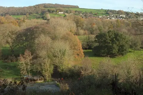
The Dartmoor Way is a circular walk of about 108 miles around the outside of Dartmoor, in Devon. Rather than crossing the high moor it keeps to the fringe — the belt of wooded valleys, farmland and stone-built towns that rings the granite upland — so it takes in views up onto the moor rather than the exposed centre. It begins and ends at Ivybridge on the southern side, but as a loop it can be started anywhere and walked in either direction, usually over about ten days.
The route strings together the towns that sit around the moor: Okehampton in the north, Tavistock in the west, Chagford, Moretonhampstead and Bovey Tracey on the east, and Ashburton and Buckfastleigh in the south. Ivybridge and Okehampton have railway stations and most of the towns are linked by bus, and there is plenty of accommodation around the edge, so the walk is easy to break into stages.
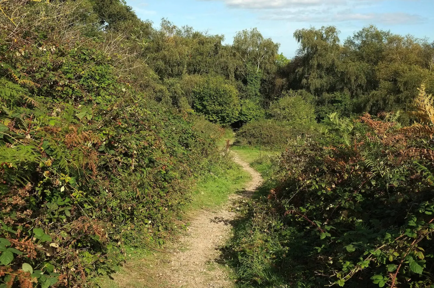
The going is moderate — bridleways, field paths and quiet lanes, with short steep climbs in and out of the valleys but no serious mountain walking. It shares stretches with other Dartmoor routes, among them the Two Moors Way, which crosses the moor on its way between Devon’s two national parks.
It is a relatively new route. A Dartmoor cycle way came first; the walking line was finally waymarked and launched in the spring of 2020, following largely existing paths around the moor.