A steep wooded river valley on the Devon–Cornwall border, deep in old copper-and-arsenic mining history
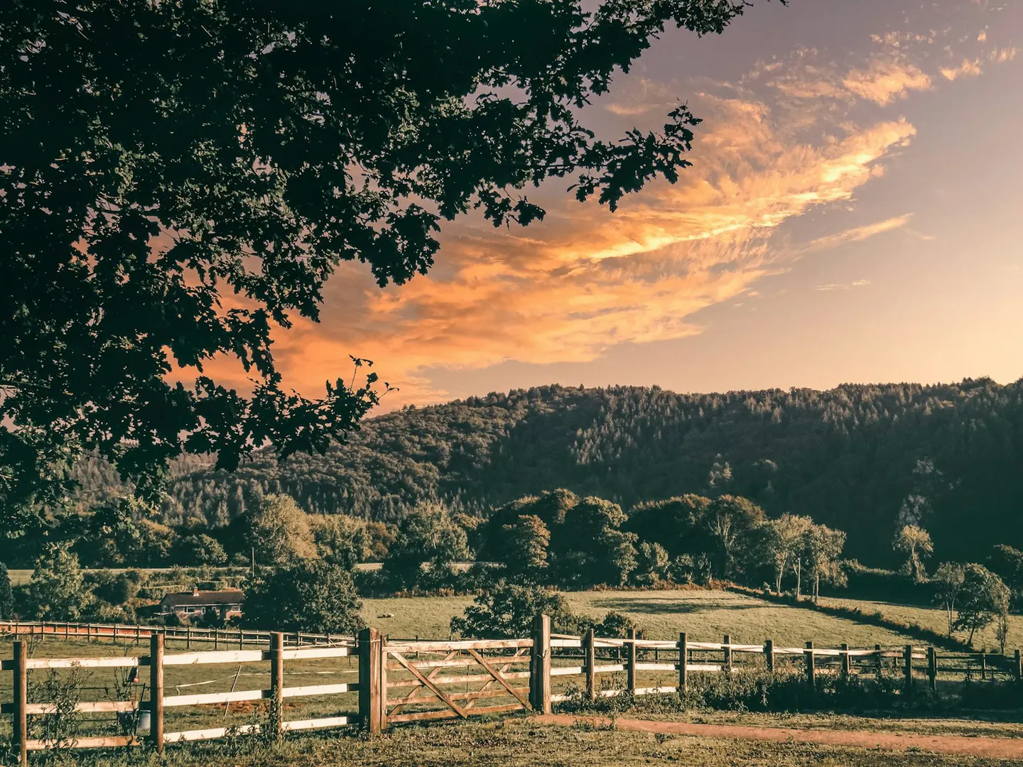
The River Tamar marks most of the border between Devon and Cornwall, and along its lower reaches it runs through a steep, wooded, tidal valley that was once busy with mining. This was copper and tin country, and later arsenic; Devon Great Consols, above the river, was for a while the largest copper mine in Europe and then a huge producer of arsenic. It forms part of the Cornwall and West Devon mining landscape now recognised as a World Heritage Site.
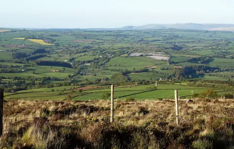
The National Landscape covers 196 square kilometres. Kit Hill, a granite lump topped by an old mine chimney, is a great viewpoint, looking out over Bodmin Moor, Dartmoor and the sea. Down at the water, the Tamar and Tavy estuary draws large numbers of wading birds and wildfowl through the winter.
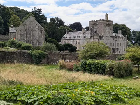
Buckland Abbey, once Sir Francis Drake’s home, sits in the woods to the east. Old mine sites can hide open shafts, so keep to the marked paths.