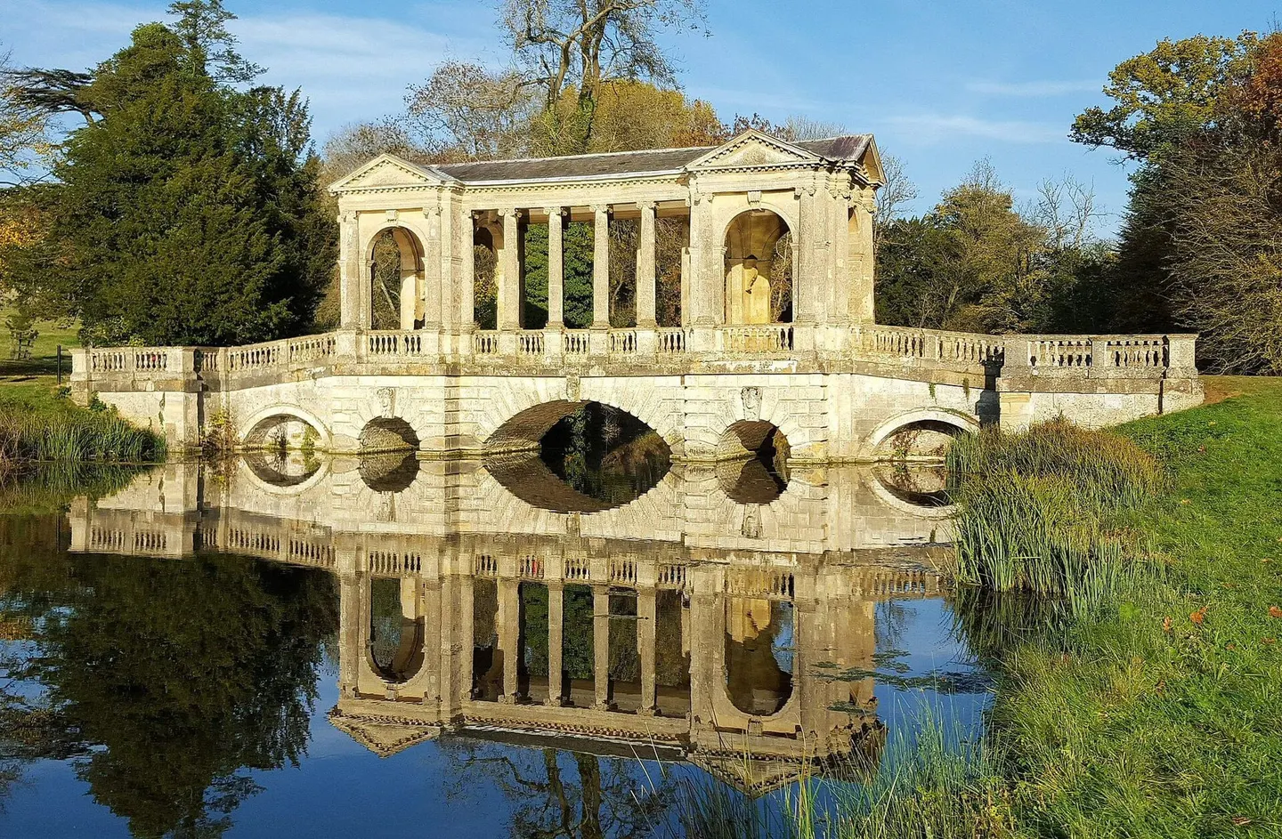
Places to explore near Northampton
Boots and shoes made Northampton — the county shod armies from Cromwell's onward — and one of England's grandest market squares still anchors the town above the River Nene. The countryside around is quietly historic. Naseby, where the Royalist cause was broken in 1645, lies to the north near the Spencer estate at Althorp; the ancient oaks of Salcey Forest spread south; and Rockingham Castle keeps its Norman walls above the Welland to the north-east. The Grand Union Canal climbs its long flight of locks out toward the Midlands.
87 places within 25 km — the standouts first, nearest first within each group. 1 is a national icon.
Worth the tripnational icons and local highlights within reach
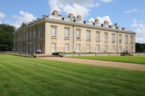
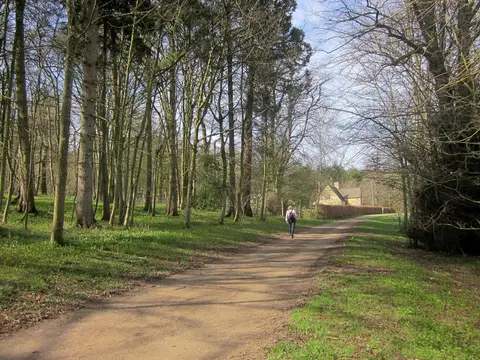
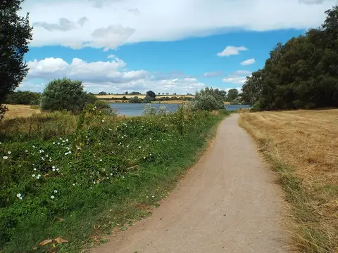
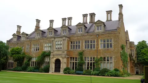
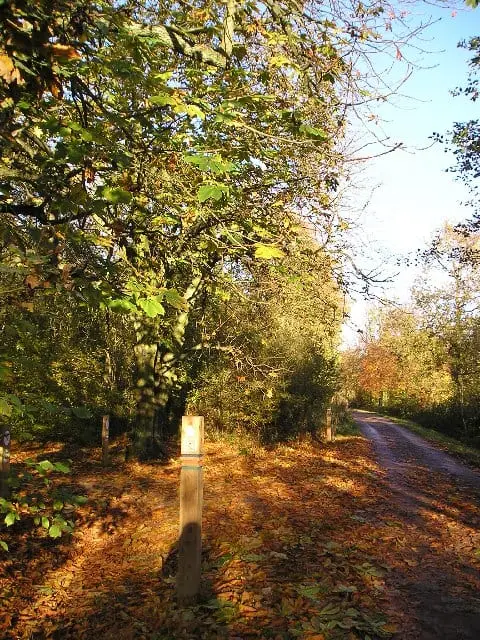
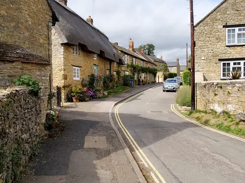
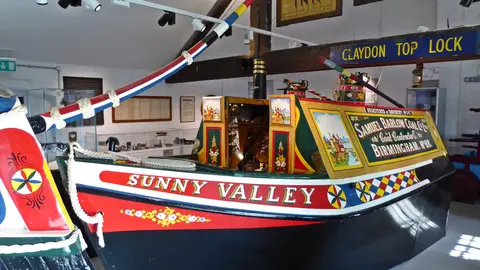
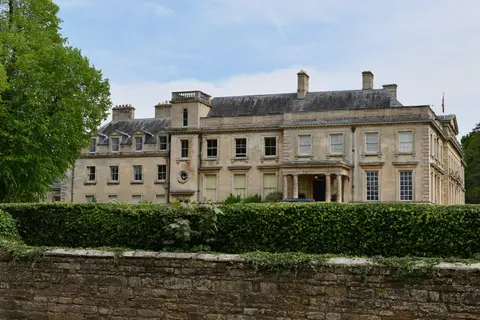
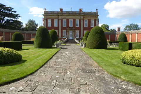
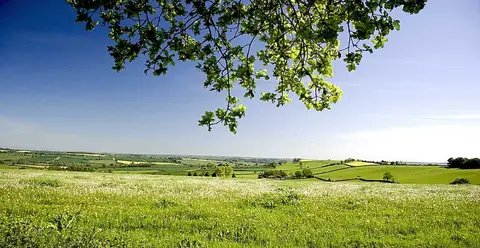
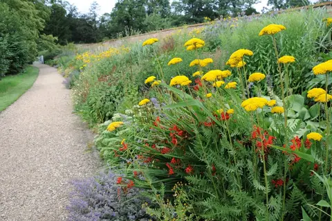
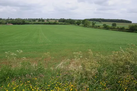
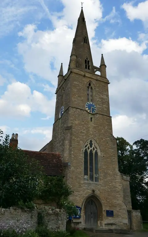
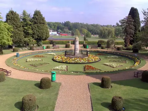
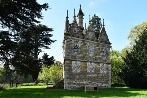
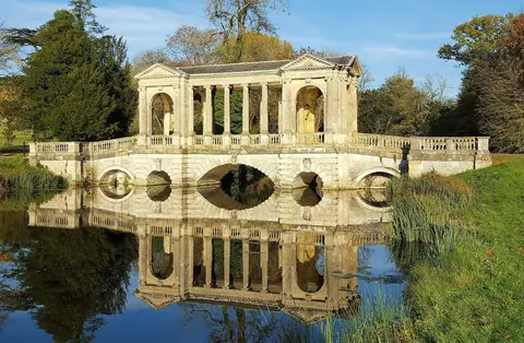
Also nearbygood places nearby, nearest first

Everything else within 25 km (58) — reserves, earthworks & places to check before travelling
- BrixworthVillage9.9 km N
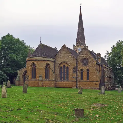
- All Saints' Church, BrixworthChurch10.4 km N
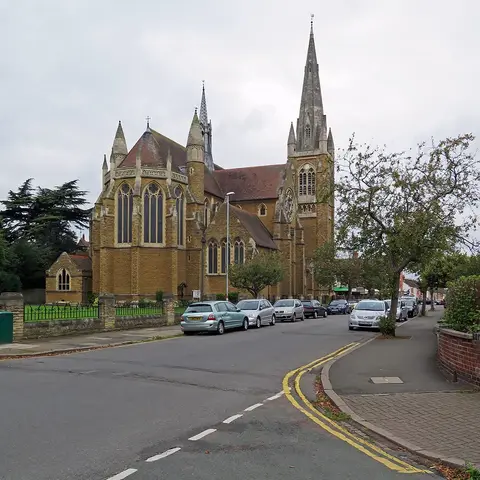
- All Saints' Church, Earls BartonChurch10.5 km E
- The Navigation Inn (Stoke Bruerne)Pub10.9 km S
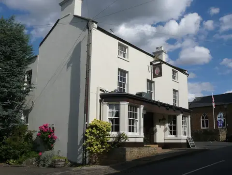
- The Red Lion (East Haddon)Pub10.9 km NW
- Castle AshbyVillage11 km E
- Earls BartonVillage11 km E
- Castle AshbyHouse & garden11.1 km E
- Towcester Mill BreweryBrewery13.2 km SW
- Coton Manor GardenGarden13.2 km NW
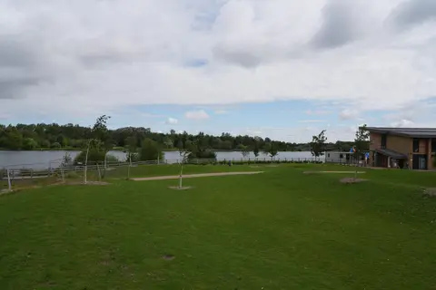
- Irchester Country ParkCountry park16.2 km E
- Whittlewood ForestSSSI16.4 km S
- Emberton Country ParkCountry park16.4 km SE
- Ouse Valley WayLong-distance path16.5 km SE
- St Mary, WellingboroughChurch16.6 km NE
- Cowper and Newton Museum GardensGarden16.8 km SE
- Northampton CastleCastleaccess unclear0.4 km SW
- The Wheatsheaf (Dallington)Pub1.6 km NW
- Battle of NorthamptonBattlefield2.2 km SE
- Eleanor Cross near Delapre AbbeyAbbeyaccess unclear2.6 km S
- Hunsbury HillHillfortaccess unclear2.7 km SW
- Upper Nene Valley Gravel PitsSSSI3.1 km E
- Berry ringworkEarthworks of a former castleaccess unclear5.3 km SW
- Clifford Hill motteEarthworks of a former castleaccess unclear5.5 km E
- The Brampton HaltPub5.9 km N
- Roade CuttingSSSIaccess unclear7.5 km S
- Bugbrooke MeadowsSSSIaccess unclear7.9 km W
- Pitsford ReservoirSSSI7.9 km N
- Blisworth Rectory Farm QuarrySSSIaccess unclear8.4 km SW
- Brixworth Country ParkCountry park8.6 km N
- Yardley ChaseSSSI9.9 km SE
- Earls Barton motteEarthworks of a former castleaccess unclear10.5 km E
- The Boat Inn (Stoke Bruerne)Pub10.9 km S
- Hardwick Lodge MeadowSSSIaccess unclear12.4 km NE
- Easton NestonHouse & gardenaccess unclear12.7 km S
- Bury Mount motteEarthworks of a former castleaccess unclear13.2 km SW
- Ramsden Corner PlantationSSSIaccess unclear13.3 km W
- Badsaddle and Bush Walk WoodsSSSIaccess unclear13.4 km NE
- The Swan at LamportPub13.7 km N
- Castle Dykes motteCastleaccess unclear13.8 km W
- Motte NW of the parish churchEarthworks of a former castleaccess unclear13.8 km S
- Mount ringwork at AldertonEarthworks of a former castleaccess unclear13.8 km S
- Ravenstone PrioryPrioryaccess unclear13.9 km SE
- Long Buckby ringwork and baileyEarthworks of a former castleaccess unclear14.2 km NW
- The Witch & SowPub14.2 km NW
- Mill CrookSSSIaccess unclear14.4 km S
- Wollaston MeadowsSSSIaccess unclear14.7 km E
- Bozeat MeadowSSSIaccess unclear15 km E
- Calender MeadowsSSSIaccess unclear15.4 km NW
- Beacon Hill motteEarthworks of a former castleaccess unclear15.9 km E
- Mantles HeathSSSIaccess unclear15.9 km W
- Moor End CastleCastleaccess unclear16.1 km S
- Borough Hill (Northamptonshire)Hillfortaccess unclear16.2 km W
- Birch Spinney and Mawsley MarshSSSIaccess unclear16.4 km N
- The SlipeCounty topaccess unclear16.6 km E
- Lavendon AbbeyAbbeyaccess unclear16.7 km SE
- High Wood and MeadowSSSIaccess unclear16.7 km W
- Irchester Old Lodge PitSSSIaccess unclear16.8 km E
Ordered by how far each place is worth travelling for, then by distance. Distances are straight-line to the nearest edge of each place — paths wind, of course.