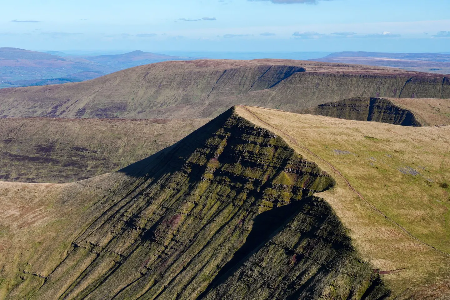
Bannau BrycheiniogPhoto guo fengrui / Pexels
Places to explore near Hay-on-Wye
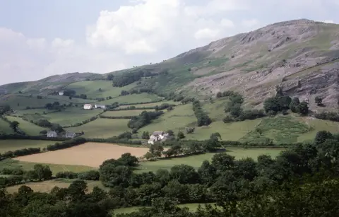
Famous for its secondhand bookshops and its literary festival, Hay-on-Wye sits on the River Wye where the water slips from Wales into England beneath a ruined Norman castle. The town backs straight onto the Black Mountains: the long escarpment of Hay Bluff and Twmpa rises within a couple of miles, and the Offa's Dyke Path runs along the ridge. Beyond lie the higher tops of Bannau Brycheiniog and the secluded ruin of Llanthony Priory in its valley.
Hay-on-Wye sits inside the Bannau Brycheiniog National Park. 92 places within 25 km — the standouts first, nearest first within each group.
Worth the tripnational icons and local highlights within reach

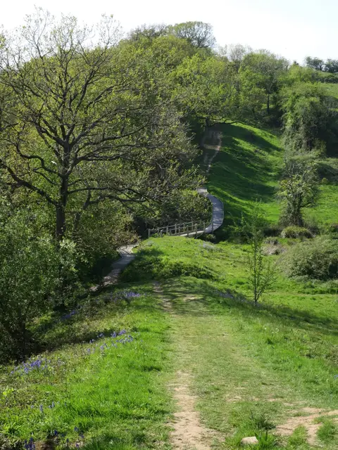
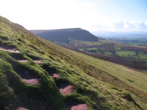
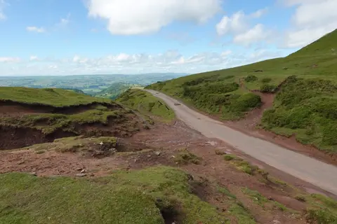
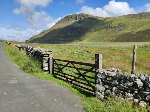
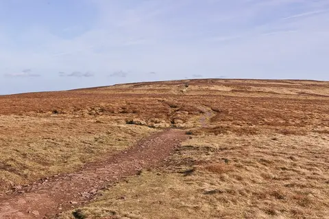
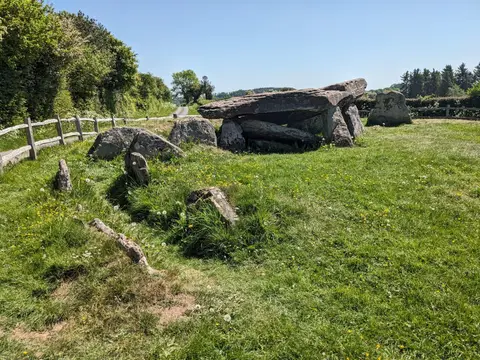
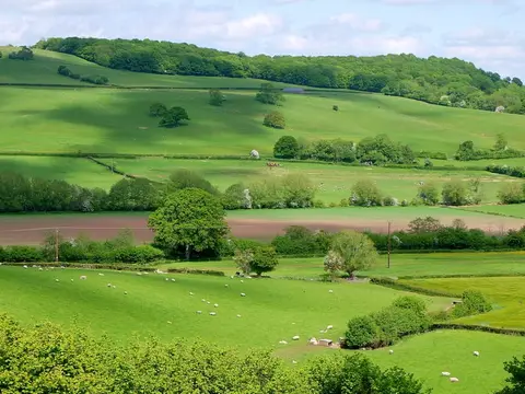
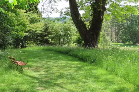
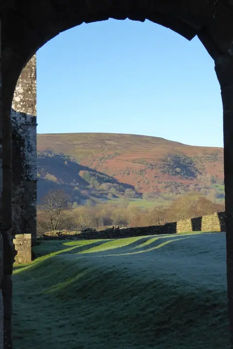
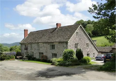
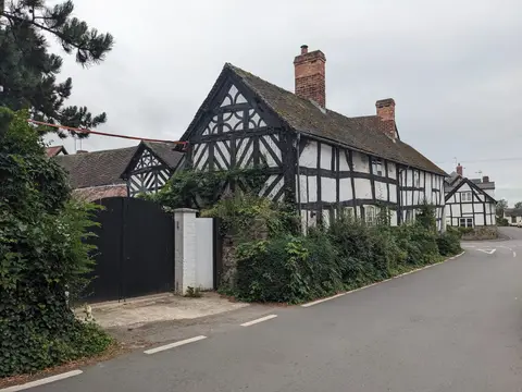
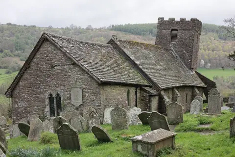
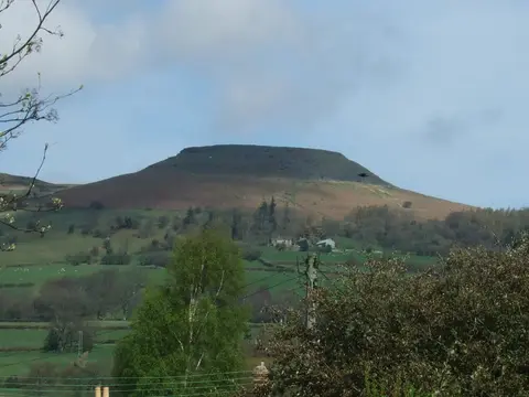
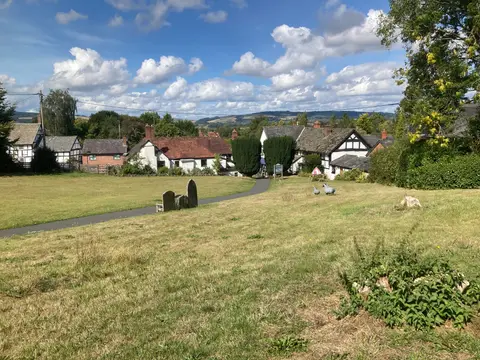
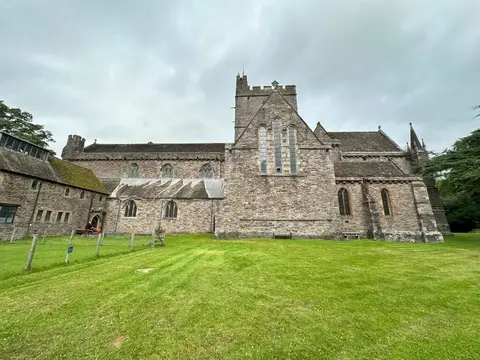
Also nearbygood places nearby, nearest first
Everything else within 25 km (62) — reserves, earthworks & places to check before travelling
- DorstoneVillage8.4 km E
- BrilleyCountry estate10.3 km NE
- St Mary Magdalene's Church, EardisleyChurch10.7 km NE
- EardisleyVillage10.9 km NE
- Castell BronllysCastle11 km SW
- Capel-y-ffinVillage11.1 km S
- Brobury House GardensGarden11.1 km E
- St Gwendoline's Church, TalgarthChurch11.1 km SW
- St Mary's Church, Capel-y-ffinChurch11.1 km S
- The Tower HotelPub11.3 km SW
- Talgarth MillFarm & farm shop11.3 km SW
- TalgarthVillage11.3 km SW
- Waun FachHewitt12.4 km S
- Chwarel y FanHewitt13.2 km S
- Pen y Gadair FawrHewitt13.6 km S
- Hay CastleCastleaccess unclear0 km SE
- GaerRoman archaeological siteaccess unclear1.1 km N
- Cusop CastleCastleaccess unclear1.4 km SE
- Clyro Court chambered tombChambered tombaccess unclear1.9 km NW
- Mouse motteEarthworks of a former castleaccess unclear1.9 km E
- Clifford CastleCastleaccess unclear3.7 km NE
- Blaenau StoneStone circleaccess unclear5.1 km S
- Nant-y-bar motteEarthworks of a former castleaccess unclear5.1 km E
- Little Lodge Long BarrowChambered tombaccess unclear6.3 km SW
- Craswall PrioryPrioryaccess unclear6.4 km SE
- Caeiron MeadowSSSIaccess unclear6.4 km SE
- The BageEarthworks of a former castleaccess unclear6.9 km E
- Pikes Farm MeadowsSSSIaccess unclear7 km SE
- The Bull's HeadPub8 km SE
- Dorstone CastleEarthworks of a former castleaccess unclear8.3 km E
- Ffostyll Long BarrowsChambered tombaccess unclear8.9 km SW
- Rhos DirionNuttall9.2 km S
- Whitehouse CampEarthworks of a former castleaccess unclear9.4 km SE
- Snodhill CastleCastleaccess unclear9.5 km E
- Dorstone Hill promontory fortPromontory fortaccess unclear9.8 km E
- Bushy Hazels & Cwmma MoorsSSSIaccess unclear10 km NE
- Moccas Park and Gillian's WoodNational Nature Reserve10.2 km E
- Urishay CastleEarthworks of a former castleaccess unclear10.5 km SE
- Eardisley CastleCastleaccess unclear10.6 km NE
- Bredwardine CastleCastleaccess unclear10.8 km E
- Upper Welson MarshSSSIaccess unclear11 km NE
- Six StonesStone circle11.4 km NW
- Turret CastleCastleaccess unclear11.4 km N
- The SturtsSSSIaccess unclear11.6 km NE
- Huntington CastleCastleaccess unclear11.7 km N
- The Bridge Inn (Michaelchurch Escley)Pub11.7 km SE
- Quebb MeadowSSSIaccess unclear12.1 km NE
- Monnington ScarSSSIaccess unclear12.3 km E
- Queestmoor MeadowSSSIaccess unclear12.3 km NE
- Moccas CourtHouse & gardenaccess unclear12.4 km E
- PeterchurchVillage12.4 km E
- Cefn Wylfre StoneStone circle12.5 km NW
- Cothill Tump, a motte castleEarthworks of a former castleaccess unclear12.5 km SE
- BirchesSSSIaccess unclear12.9 km NE
- Penywyrlod Chambered TombChambered tombaccess unclear13.3 km SW
- Olchon Farm MeadowsSSSIaccess unclear13.3 km SE
- Cwm Fforest Long BarrowChambered tombaccess unclear13.7 km S
- Almeley CastleCastleaccess unclear13.7 km NE
- Chanstone WoodSSSIaccess unclear14 km SE
- Hergest RidgeMarilyn14.1 km N
- Ty-Isaf Long BarrowChambered tombaccess unclear14.1 km S
- Mynydd LlysiauHewitt14.6 km S
Ordered by how far each place is worth travelling for, then by distance. Distances are straight-line to the nearest edge of each place — paths wind, of course.