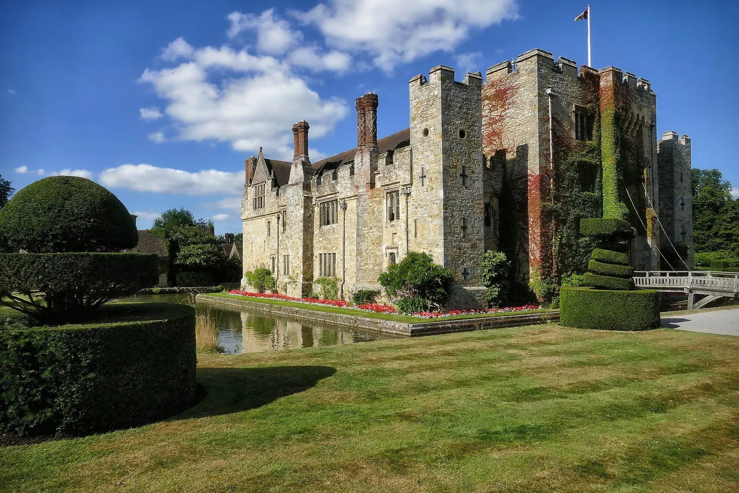
Places to explore near Crawley
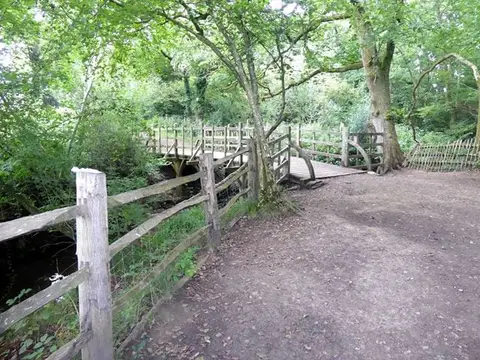
One of the first postwar new towns, Crawley spread over old Wealden parishes beside what became Gatwick Airport, but wooded country closes in quickly on all sides. Tilgate Park and Worth Forest sit on the southern edge, remnants of the great forest that once covered the Weald. The ridges and gill woodlands of the High Weald roll south towards the heaths of Ashdown Forest, Winnie-the-Pooh's Hundred Acre Wood, and the gardens of Nymans and Wakehurst Place lie within easy reach.
112 places within 25 km — the standouts first, nearest first within each group. 3 are national icons.
Worth the tripnational icons and local highlights within reach
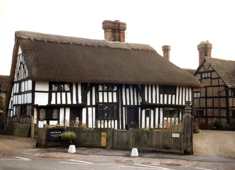
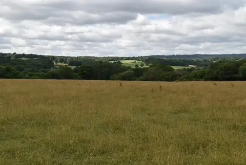
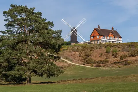
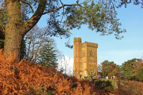
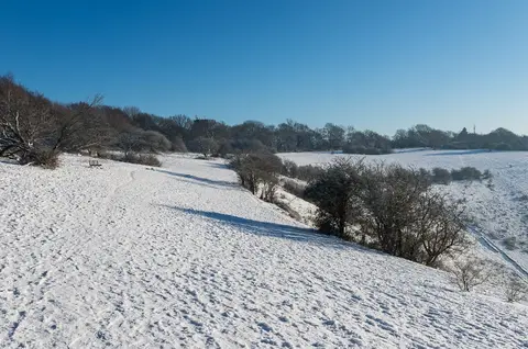
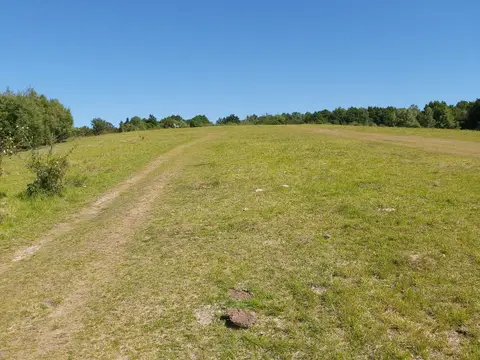
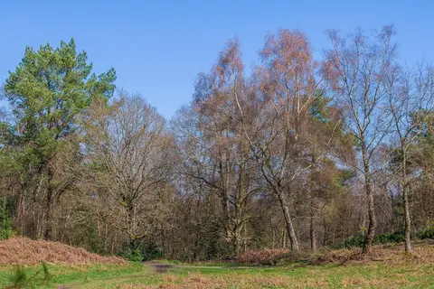
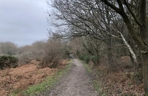
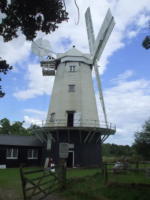
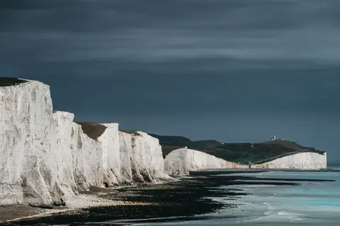
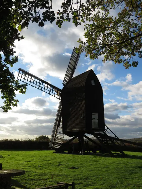
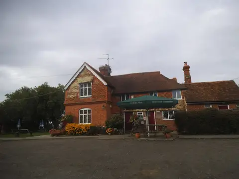
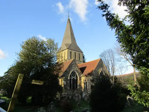
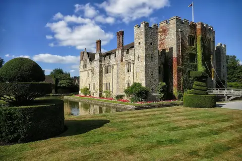
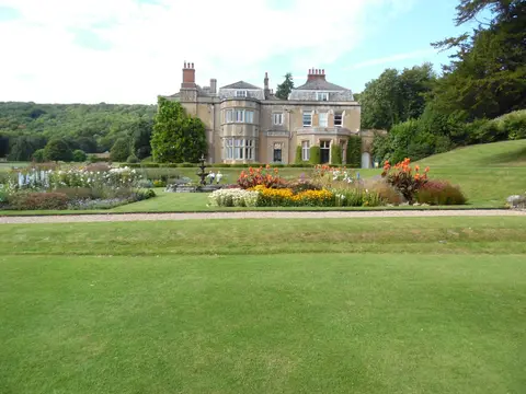
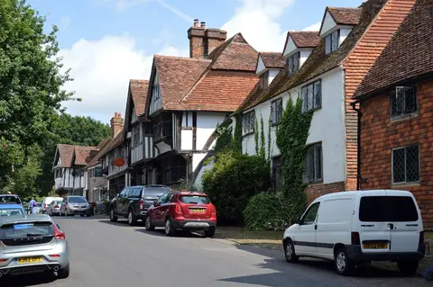
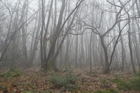
Also nearbygood places nearby, nearest first
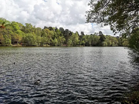
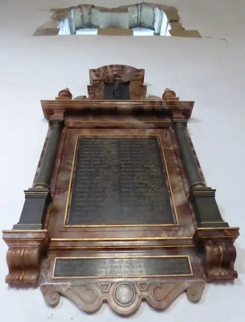

Everything else within 25 km (54) — reserves, earthworks & places to check before travelling
- SlaughamVillage8.3 km S
- West HoathlyVillage10 km E
- OutwoodVillage10.2 km NE
- Warnham LNRNature reserve10.9 km W
- InterludeRestaurant11.8 km SW
- CuckfieldVillage11.8 km S
- Harewoods and SandhillsCountry estate11.9 km NE
- Standen House and GardenHouse & garden12 km E
- Greensand WayLong-distance path12.2 km N
- OckleyVillage12.9 km W
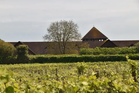
- Bolney Wine EstateVineyard13.2 km S
- Holmwood CommonCountry estate13.8 km NW
- ReigateVillage14 km N
- The Plough Inn (Coldharbour)Pub14.2 km NW
- Southwater Country ParkCountry park14.6 km SW
- BetchworthVillage14.6 km N
- BrockhamVillage15.1 km NW
- Buchan Hill PondsSSSI2.9 km SW
- Worth ForestSSSIaccess unclear3.5 km SE
- House CopseSSSIaccess unclear3.9 km W
- Glover's WoodSSSIaccess unclear5.6 km NW
- Cow Wood and Harry's WoodSSSI5.8 km S
- Wakehurst & Chiddingly WoodsSSSIaccess unclear6.3 km SE
- Thunderfield CastleCastleaccess unclear6.9 km NE
- Turner's Hill (West Sussex)SSSIaccess unclear6.9 km E
- St. Leonard's ForestSSSI7.7 km SW
- Channellsbrook CastleEarthworks of a former castleaccess unclear8.7 km W
- HedgecourtSSSIaccess unclear8.7 km NE
- St. Leonard's Park PondsSSSIaccess unclear8.7 km SW
- Philpots CampPromontory fortaccess unclear8.9 km SE
- WarnhamSSSIaccess unclear8.9 km W
- Clock House BrickworksSSSIaccess unclear9.3 km W
- Philpot's and Hook QuarriesSSSIaccess unclear9.3 km SE
- Gravetye ManorHouse & gardenaccess unclear9.4 km E
- The Cat InnPub10 km SE
- AuclayeSSSIaccess unclear10.4 km W
- Weir Wood ReservoirSSSIaccess unclear10.7 km E
- Stone Hill RocksSSSI11 km E
- West HoathlySSSIaccess unclear11 km E
- Vann Lake and Ockley WoodsSSSIaccess unclear11.4 km W
- Blindley HeathSSSI12.6 km NE
- Dean's Mill motte and baileyEarthworks of a former castleaccess unclear13.3 km SE
- BrockhurstHouse & gardenaccess unclear13.7 km E
- Reigate HeathSSSI13.7 km N
- Anstiebury CampHillfortaccess unclear13.9 km NW
- Reigate CastleCastleaccess unclear14.2 km N
- Mills RocksSSSIaccess unclear14.3 km E
- ColdharbourVillage14.3 km NW
- Freshfield LaneSSSI14.5 km SE
- Slinfold Stream and QuarrySSSIaccess unclear14.9 km W
- Savu SaunaSauna15.1 km N
- Bletchingley castleCastleaccess unclear15.2 km N
- Wych Cross PlaceHouse & gardenaccess unclear15.3 km E
- The SwanPub15.4 km E
Ordered by how far each place is worth travelling for, then by distance. Distances are straight-line to the nearest edge of each place — paths wind, of course.