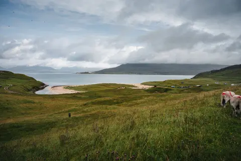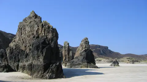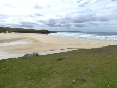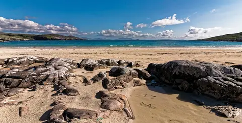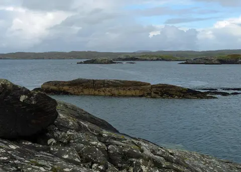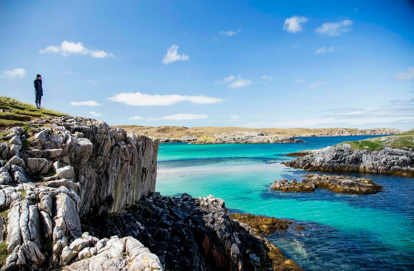
Peat moorland, white-sand beaches and the Calanais stones.
Lewis and Harris are usually called two islands, but they are one landmass. A border of hills divides low, peat-covered Lewis in the north from mountainous Harris in the south, not any stretch of water. Ferries from Ullapool land at Stornoway, the only real town in the Outer Hebrides, where Lews Castle, built in the 1850s for the island’s Victorian owner, now holds a museum and a cafe. A separate ferry crosses from Uig on Skye to Tarbert, Harris’s own port, and from Leverburgh, near Harris’s southern tip, another ferry continues on to Berneray and the Uists.
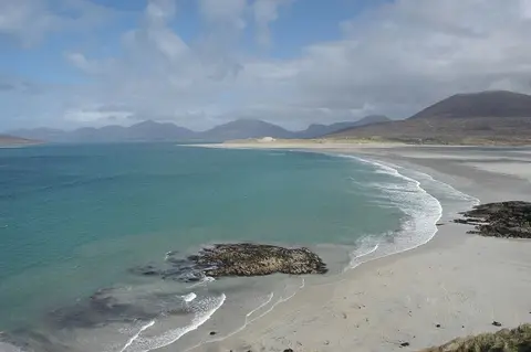
On the west coast of Lewis, the Calanais Standing Stones were put up between 2900 and 2600 BC in a cross-shaped arrangement around a small stone circle, older than the main phase of Stonehenge. They were buried under peat for centuries until cutting in 1857 uncovered their true height. Harris, to the south, has some of the whitest sand in Scotland. Luskentyre and its neighbour Seilebost form one long beach below the hills, backed by machair, the shell-sand grassland common behind Hebridean beaches, bright with wildflowers in summer.
Those hills rise in North Harris to Clisham, 799 metres and the highest point in the Outer Hebrides, the archipelago’s only Corbett, the classification for Scottish hills between 2,500 and 3,000 feet. Harris Tweed is still handwoven at home by islanders across Lewis and Harris, a legal requirement written into the cloth’s own Act of Parliament, and each length is stamped with the Orb mark once it passes inspection. In Tarbert, where the Skye ferry lands, the Isle of Harris Distillery makes whisky and gin and has a visitor centre by the harbour.