Open accessScotland's right of responsible access applies
Save this place
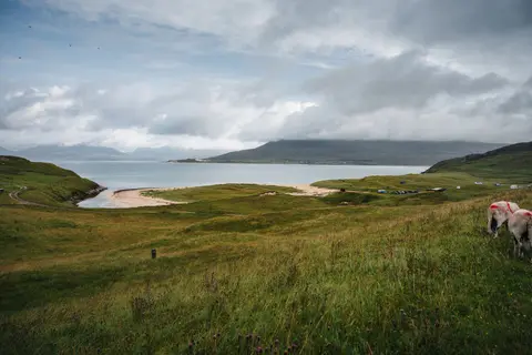
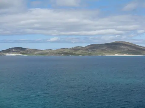
Sgaoth Aird rises to 559 m (1,834 ft) in Na h-Eileanan Siar. It is one of the 1,546 Marilyns — British hills with at least 150 m of drop on every side. It stands among the higher summits of Na h-Eileanan Siar. The surrounding countryside is part of South Lewis, Harris and North Uist National Scenic Area.
Nearby hills include An Cliseam and Todun.
More at hill-bagging.co.uk