Places to explore near Colchester
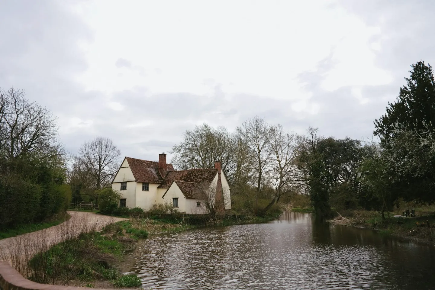
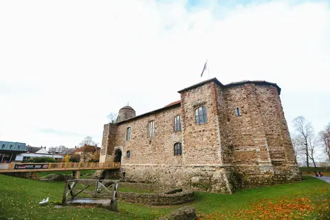
Britain's oldest recorded town, Colchester was Camulodunum, capital of Roman Britain before Boudica burned it, and its Norman castle sits on the vaults of a demolished Roman temple. The town stands above the Colne in gently rolling Essex farmland. North, the Stour Estuary divides Essex from Suffolk, its mudflats thick with waders, and the meadows upstream at Flatford and Dedham are the Dedham Vale that Constable painted. Seaward, the oyster beds of West Mersea lie out on their island in the marshes.
88 places within 25 km — the standouts first, nearest first within each group. 2 are national icons.
Worth the tripnational icons and local highlights within reach
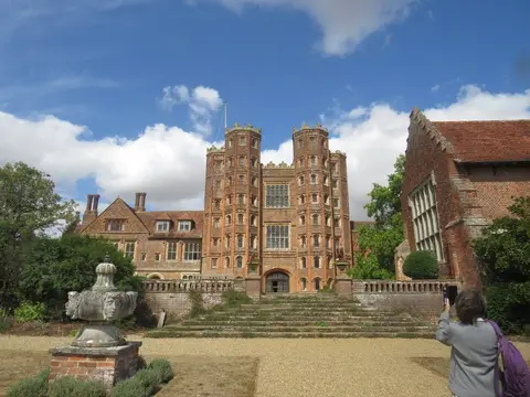
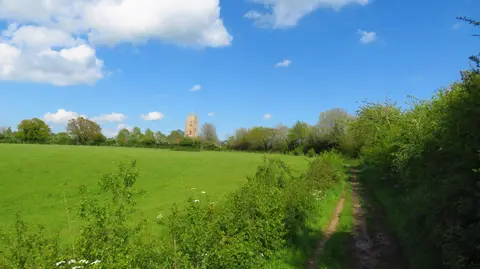
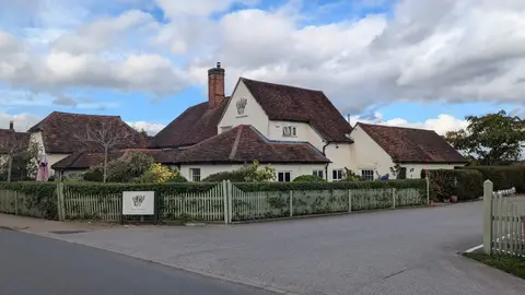
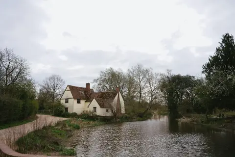
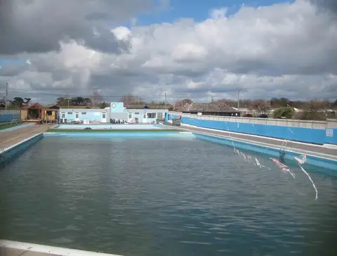
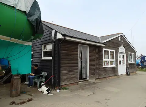
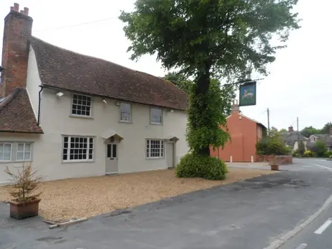
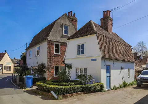
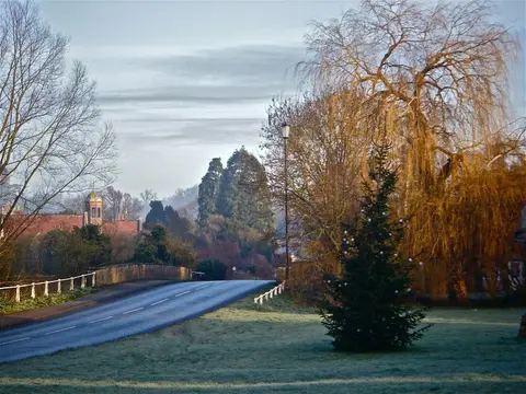
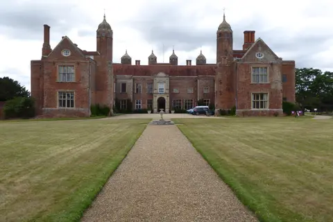
Also nearbygood places nearby, nearest first
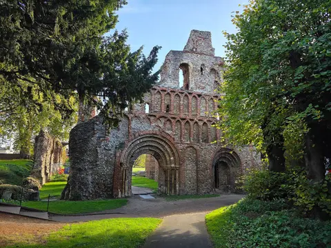
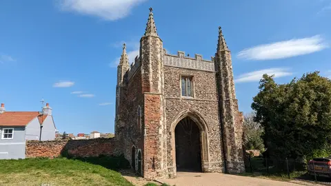
Everything else within 25 km (54) — reserves, earthworks & places to check before travelling
- River Stour (Suffolk)River navigation8.8 km N
- NaylandVillage9.4 km N
- King Charles III England Coast PathNational Trail9.6 km S
- Thorington Hall & StudioHouse & garden10.4 km N
- DedhamCountry estate10.5 km NE
- Ray IslandNature reserve10.7 km S
- Copt Hall MarshesNature reserve11.4 km S
- ManningtreeVillage11.9 km NE
- Cudmore Grove Country ParkCountry park12.2 km SE
- BrightlingseaVillage12.3 km SE
- West MerseaVillage12.5 km S
- East Bergholt Place GardenGarden12.6 km NE
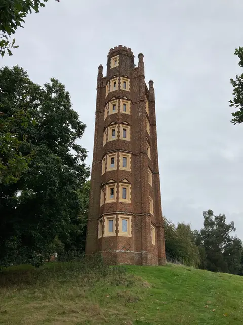
- Mistley TowersLandmark13.6 km NE
- MistleyVillage13.6 km NE
- Wilkin & Sons TiptreeFarm & farm shop13.8 km SW
- Tolleshunt D'ArcyCountry estate14 km SW
- Marks Hall Gardens & ArboretumGarden14.7 km W
- St Peter ad Vincula, CoggeshallChurch14.7 km W
- PolsteadVillage15 km N
- TollesburyVillage15 km S
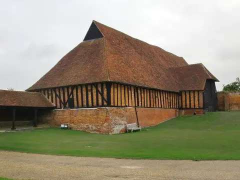
- Coggeshall Grange BarnAncient site15.3 km W
- Paycocke's House and GardenHouse & garden15.3 km W
- Colchester Roman town, SE cornerRoman archaeological siteaccess unclear0.2 km E
- Benedictine AbbeyAbbeyaccess unclear0.5 km S
- The Chapel InnPub0.6 km SW
- Colchester Roman CircusAbbeyaccess unclear0.7 km SW
- Lexden Earthworks and Bluebottle GroveAncient site2.4 km NW
- Upper Colne MarshesSSSIaccess unclear2.9 km SE
- Lexden MountRoman archaeological siteaccess unclear3.1 km W
- Bullock WoodSSSIaccess unclear3.1 km NE
- Roman RiverSSSIaccess unclear3.6 km S
- Pitchbury RampartsHillfortaccess unclear5 km NW
- Wivenhoe Gravel PitSSSIaccess unclear5.2 km E
- Stanway Roman practice campRoman archaeological siteaccess unclear5.4 km SW
- Ardleigh Gravel PitSSSIaccess unclear5.9 km NE
- Marks Tey BrickpitSSSIaccess unclear8.4 km W
- The Sun InnPub9.9 km NE
- Cattawade MarshesSSSIaccess unclear10.8 km NE
- Colne EstuaryNational Nature Reserve10.9 km SE
- Blackwater EstuaryNational Nature Reserve11 km S
- St Mary's Church, Stoke-by-NaylandChurch11.2 km N
- Great Wigborough hengeHengeaccess unclear11.5 km SW
- BrightlingseaSwimming spot11.8 km SE
- Arger FenSSSIaccess unclear12 km NW
- Chalkney WoodSSSI12.3 km W
- Stour EstuarySSSI12.5 km NE
- Manningtree Beach, Stour EstuarySwimming spot12.8 km NE
- West MerseaSwimming spot13.3 km S
- Earls Colne PrioryPrioryaccess unclear14 km W
- Riddles WoodSSSIaccess unclear14.4 km SE
- St Osyth PitSSSIaccess unclear14.5 km SE
- Coggeshall AbbeyAbbeyaccess unclear14.7 km W
- Dodnash PriorySite of a former prioryaccess unclear14.9 km NE
- Tiptree HeathSSSI15.2 km SW
Ordered by how far each place is worth travelling for, then by distance. Distances are straight-line to the nearest edge of each place — paths wind, of course.