Eighty-one miles across Essex from Epping Forest to the port of Harwich, through Constable country
Indicative — sampled from open terrain data along the simplified route.
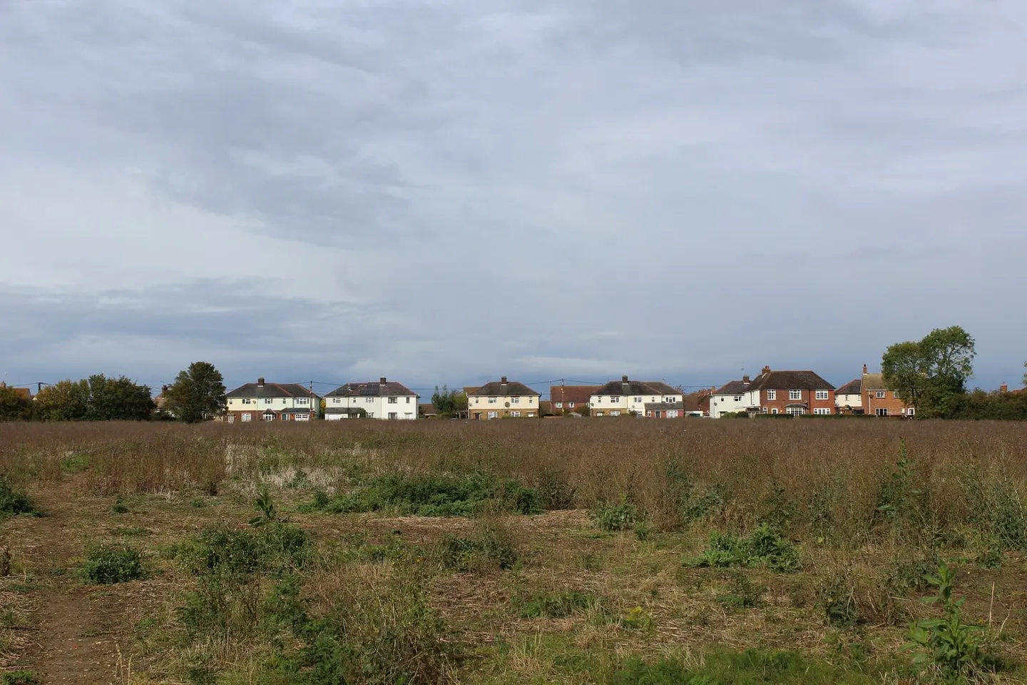
The Essex Way runs 81 miles across the county from Epping, on the edge of Epping Forest, to the ferry port of Harwich on the Stour estuary. It is a cross-country route rather than a coastal or riverside one, threading through the farmland, green lanes and ancient woodland of the Essex interior and calling at a string of old villages: Pleshey, with its huge castle mound, the wool town of Coggeshall, and further east Dedham and Manningtree in the valley of the Stour. Most walkers take five or six days.
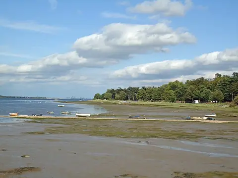
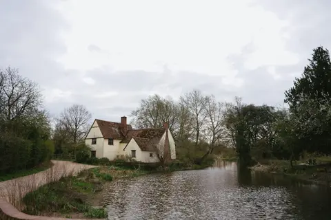
The country is gently undulating and the walking is easy in the physical sense, but it is genuinely rural for much of its length, and the field paths can be hard to follow where they cross growing crops or ploughed ground. The last stretch drops into the Dedham Vale, the countryside John Constable painted, before the route turns for the coast and comes into Harwich beside the sea.
The Essex Way was the first county long-distance path in England, created in 1972 out of a competition run by the local branch of the Campaign to Protect Rural England to design a walk from one side of Essex to the other. It has been re-routed and improved several times since. Both ends are served by train — Epping by the Central line and Harwich by the branch from the main line — and several intermediate villages have stations, so the route divides readily into day walks.