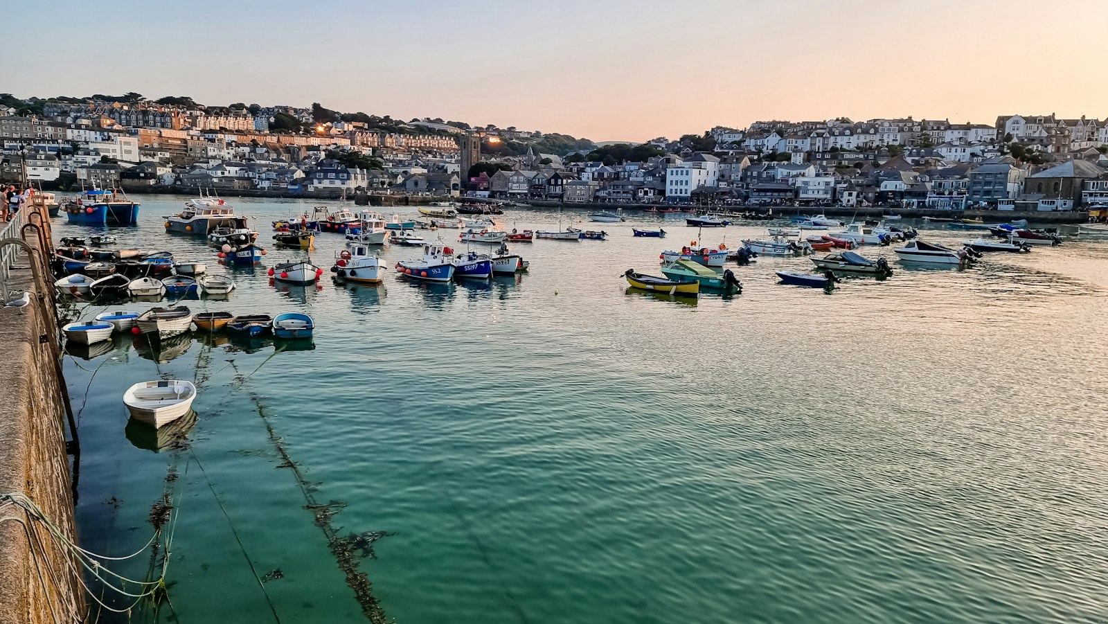
Photo Zeb Zakovics / Unsplash
Places to explore near St Ives
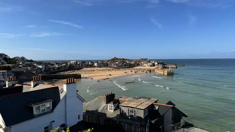
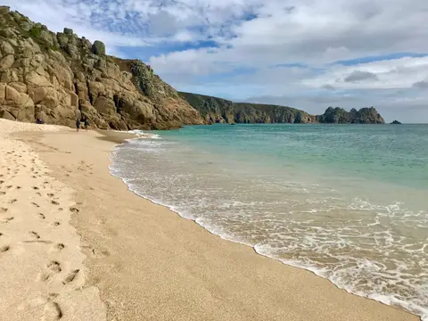
A former pilchard-fishing town on Cornwall's north coast, St Ives wraps around a granite headland between two beaches, its light so clear it drew a colony of painters — Barbara Hepworth and an outpost of the Tate now among them. Porthmeor and Porthminster face the Atlantic, and the South West Coast Path runs on past to Zennor, Godrevy and the old tin-mining cliffs beyond. Harbour, sand and moorland all lie within a short walk.
99 places within 25 km — the standouts first, nearest first within each group. 10 are national icons.
Worth the tripnational icons and local highlights within reach

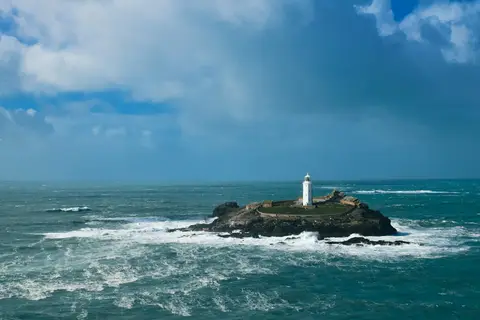
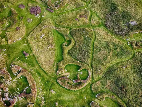
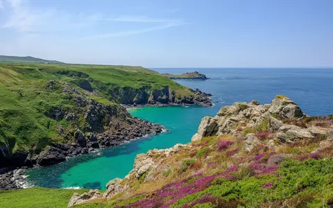
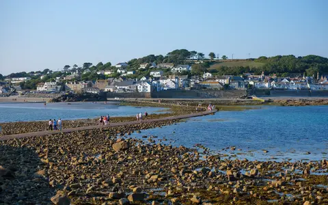
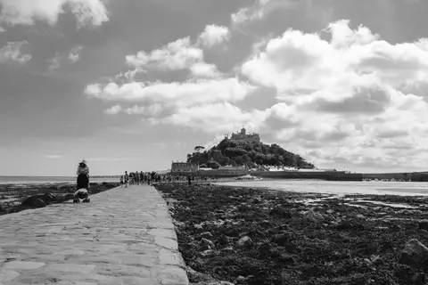
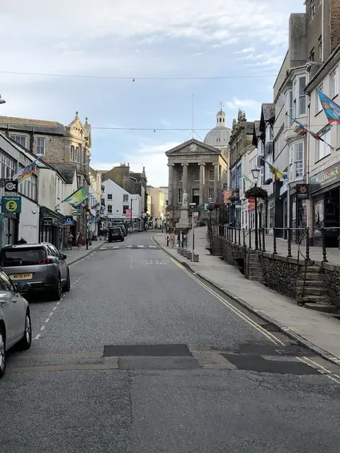
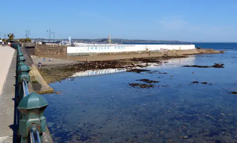
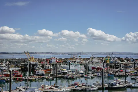
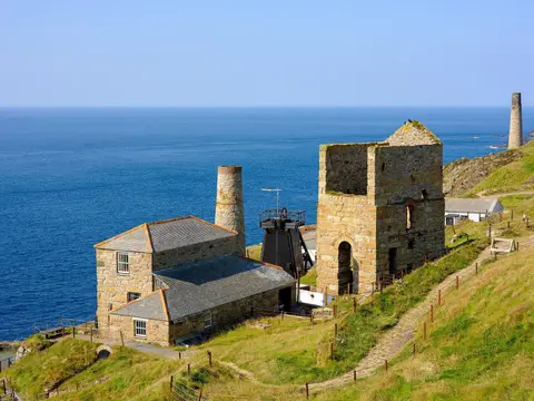
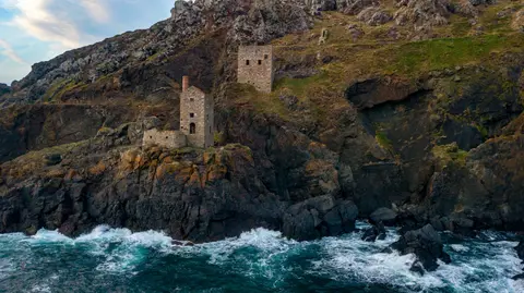
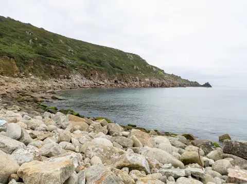
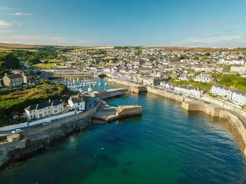
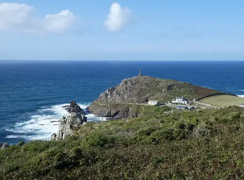
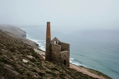
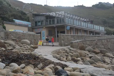
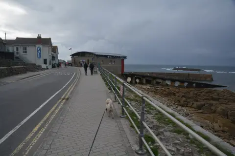
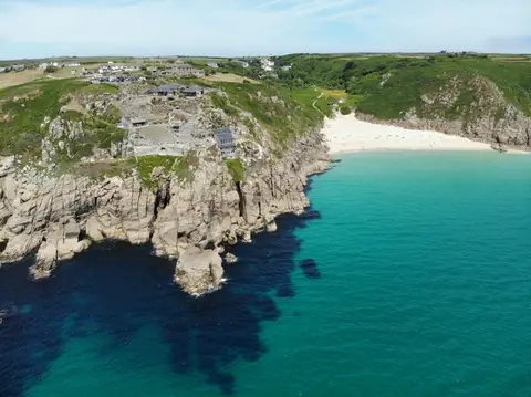
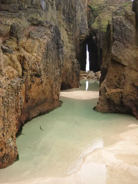
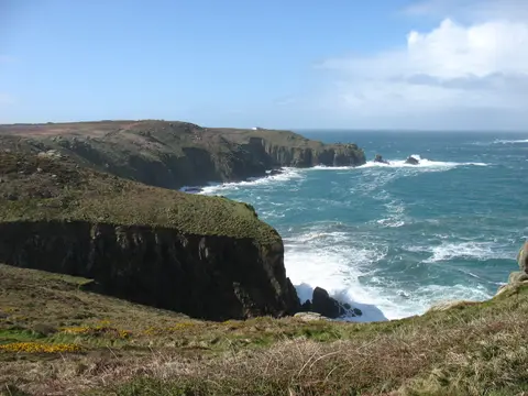
Also nearbygood places nearby, nearest first

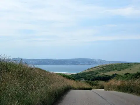
Everything else within 25 km (59) — reserves, earthworks & places to check before travelling
- Tehidy Country ParkCountry park11.5 km E
- Polgoon Vineyard & OrchardVineyard11.5 km SW
- Trengwainton GardenHouse & garden11.7 km SW
- GodolphinHouse & garden11.8 km SE
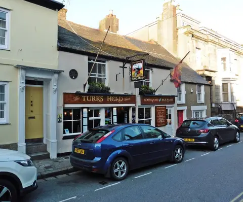
- The Tolcarne InnPub12.6 km SW
- Trewidden GardenGarden13.2 km SW
- PorthminsterSwimming spot0.4 km SE
- Mor Holan, PorthminsterSauna0.4 km SE
- PorthmeorSwimming spot0.5 km NW
- The Sloop InnPub0.5 km N
- Kiln Sauna, St IvesSauna0.5 km NW
- PorthgwiddenSwimming spot0.7 km N
- Aire Point to Carrick DuSSSI0.8 km NW
- Carbis BaySwimming spot1.7 km SE
- Hayle Estuary & Carrack GladdenSSSI1.9 km SE
- West Penwith Moors and DownsSSSI1.9 km SW
- Porthkidney SandsSwimming spot3.4 km SE
- Gwithian to Mexico TowansSSSI3.8 km E
- Mexico TowansSwimming spot4.1 km E
- Escape to the Sauna, HayleSauna4.2 km SE
- Hayle TowansSwimming spot4.5 km E
- Sperris QuoitChambered tomb5.1 km SW
- Zennor QuoitChambered tomb5.4 km SW
- Godrevy - PortreathHeritage Coast5.5 km NE
- Upton TowansSwimming spot5.5 km E
- Loggans MoorSSSIaccess unclear5.8 km E
- Castle-an-Dinas, PenwithHillfort6.3 km SW
- Godrevy Head to St AgnesSSSI6.4 km E
- St. Erth Sand PitsSSSIaccess unclear6.4 km SE
- Gwithian TowansSwimming spot6.5 km E
- Church of St Senara, ZennorChurch6.6 km W
- Godrevy TowansSwimming spot6.7 km E
- Wheal AlfredSSSIaccess unclear6.9 km SE
- Marazion MarshSSSIaccess unclear7.9 km S
- Round at Castle Kayle FarmCastleaccess unclear8 km SE
- Treen Common stone circleStone circle8.2 km SW
- Mulfra QuoitChambered tomb8.3 km SW
- Penberthy Croft MineSSSIaccess unclear8.5 km SE
- Trereen DinasPromontory fort8.7 km W
- The Gurnard's HeadPub8.7 km W
- Long RockSwimming spot9.5 km S
- The Nine MaidensStone circle9.9 km SW
- Carfury Standing StoneStanding stoneaccess unclear10 km SW
- Lescudjack CastleCastleaccess unclear10.2 km S
- Madron Well ChapelHoly wellaccess unclear10.4 km SW
- Madron WellHoly wellaccess unclear10.5 km SW
- Bosigran CastlePromontory fort10.7 km W
- Watermill near Bosigran CastleCastle10.7 km W
- Watch CroftMarilyn10.8 km SW
- West Cornwall BryophytesSSSI11.1 km SE
- PerranuthnoeSwimming spot11.3 km S
- West Lanyon QuoitChambered tombaccess unclear11.5 km SW
- Crane CastlePromontory fort12.2 km E
- Wherry TownSwimming spot12.3 km S
- Rising Embers SaunaSauna12.5 km SW
- Cudden Point to Prussia CoveSSSI12.7 km S
- Tregonning HillSSSI13 km SE
- Chûn CastleChambered tomb13.1 km SW
- Penlee QuarrySSSIaccess unclear13.3 km S
Ordered by how far each place is worth travelling for, then by distance. Distances are straight-line to the nearest edge of each place — paths wind, of course.