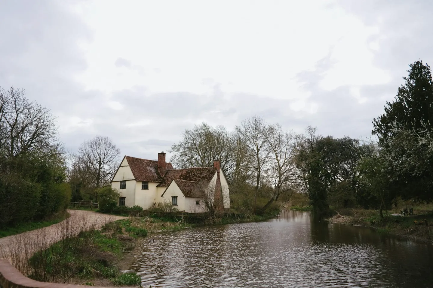
Places to explore near Ipswich
One of England's oldest towns, Ipswich has traded from the head of the Orwell estuary since Anglo-Saxon times, when it shipped wool and Suffolk cloth. The tidal river widens south-east past the wooded quay at Pin Mill towards the sea. Upriver to the north-west, the water-meadows of Dedham Vale and the mill at Flatford are the landscape Constable painted; downstream the burial mounds of Sutton Hoo overlook the Deben. The heaths and shingle of the Suffolk Coast & Heaths begin just beyond.
92 places within 25 km — the standouts first, nearest first within each group. 3 are national icons.
Worth the tripnational icons and local highlights within reach
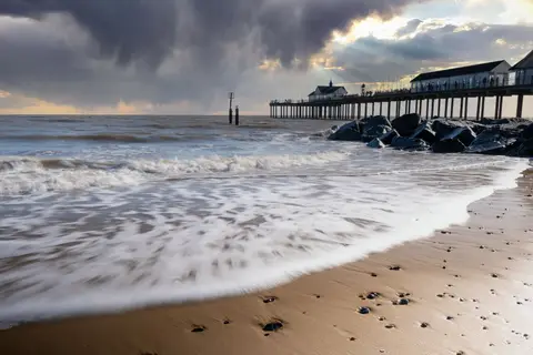
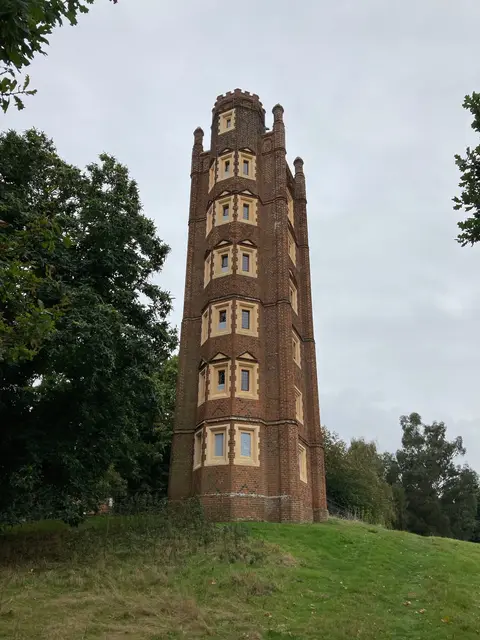

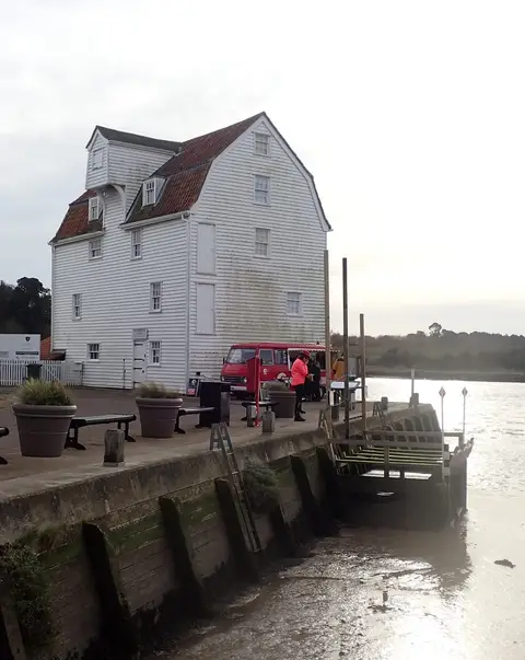

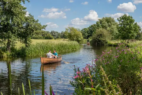
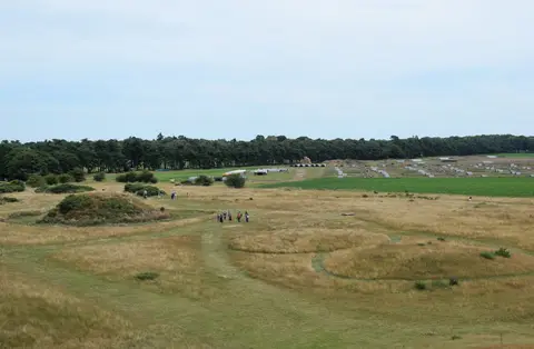

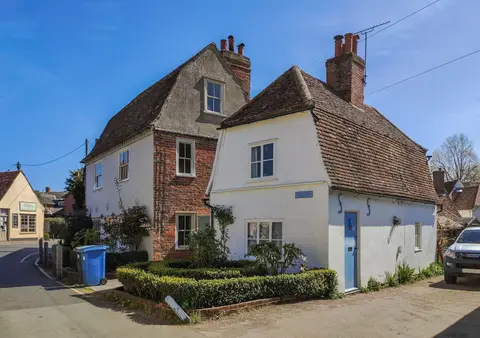
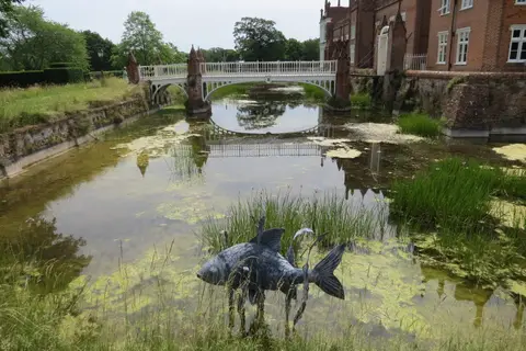
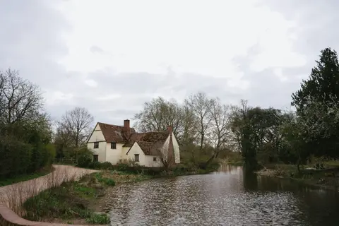
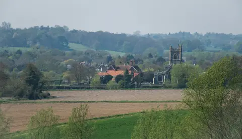
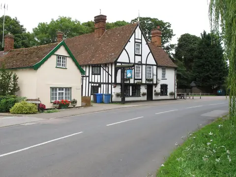
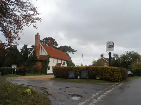

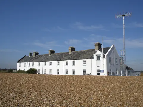
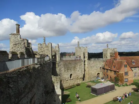
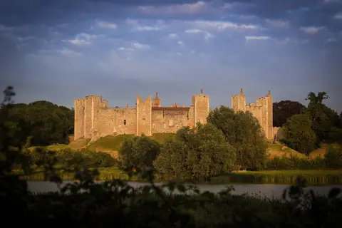
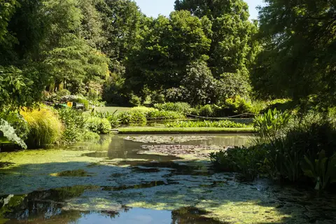
Also nearbygood places nearby, nearest first

Everything else within 25 km (58) — reserves, earthworks & places to check before travelling
- Stour Valley PathLong-distance path13.2 km SW
- River Stour (Suffolk)River navigation13.3 km SW
- Mistley TowersLandmark13.6 km S
- MistleyVillage13.8 km S
- The Unruly PigPub14.6 km E
- ManningtreeVillage14.7 km SW
- DedhamCountry estate15 km SW
- HarwichVillage15.7 km SE
- Dominican friary (Suffolk)Friaryaccess unclear0.5 km SE
- Ipswich town defences and friary wallFriaryaccess unclear0.6 km S
- Stoke Tunnel CuttingSSSIaccess unclear1.3 km S
- Orwell EstuarySSSI2.7 km S
- Bobbitshole, BelsteadSSSIaccess unclear3.6 km SW
- Bixley HeathSSSI3.8 km SE
- Freston and Cutler's WoodsSSSIaccess unclear4.8 km S
- Ipswich HeathsSSSI5 km SE
- Sinks Valley, KesgraveSSSIaccess unclear5.9 km E
- Great Blakenham PitSSSIaccess unclear6.8 km NW
- Little Blakenham PitSSSIaccess unclear6.9 km NW
- Sandy Lane Pit, BarhamSSSIaccess unclear7.2 km N
- Nacton MeadowsSSSIaccess unclear8.1 km SE
- Hintlesham WoodsSSSIaccess unclear8.8 km W
- Shrubland HallHouse & gardenaccess unclear9.4 km NW
- Waldringfield PitSSSIaccess unclear9.6 km E
- Deben EstuarySSSIaccess unclear9.7 km E
- Riverside House Meadow, HasketonSSSIaccess unclear9.7 km NE
- Elmsett Park WoodSSSIaccess unclear9.8 km W
- Stour EstuarySSSI9.8 km S
- Newbourn SpringsSSSIaccess unclear9.9 km E
- Wenham CastleCastleaccess unclear10 km SW
- CoddenhamVillage10 km N
- Barking WoodsSSSIaccess unclear10.3 km NW
- The MountEarthworks of a former castleaccess unclear10.5 km NE
- Gosbeck WoodSSSIaccess unclear10.6 km N
- Dodnash PriorySite of a former prioryaccess unclear10.8 km SW
- Middle Wood, OfftonSSSIaccess unclear11.2 km NW
- Ferry Cliff, SuttonSSSIaccess unclear11.9 km E
- River Deben Estuary, WaldringfieldSwimming spot12.2 km E
- Creeting St. Mary PitsSSSIaccess unclear12.4 km NW
- Moat Farm Meadows, OtleySSSIaccess unclear13 km NE
- Wilford BridgePub13.2 km E
- Cattawade MarshesSSSIaccess unclear13.3 km SW
- Stour and Copperas Woods, RamseySSSIaccess unclear13.3 km S
- Ramsholt CliffSSSIaccess unclear13.4 km E
- Hascot Hill PitSSSIaccess unclear13.6 km NW
- Monewden MeadowsSSSIaccess unclear13.8 km NE
- Manningtree Beach, Stour EstuarySwimming spot13.9 km SW
- Rockhall Wood Pit, SuttonSSSIaccess unclear13.9 km E
- Sandlings ForestSSSI14.1 km E
- Lingwood Meadows, Earl StonhamSSSIaccess unclear14.4 km N
- Sutton and Hollesley HeathsSSSI14.4 km E
- High House Meadows, MonewdenSSSIaccess unclear14.7 km NE
- Crag Pit, SuttonSSSIaccess unclear15.3 km E
- The Sun InnPub15.7 km SW
- Fox Fritillary Meadow, FramsdenSSSIaccess unclear15.9 km N
- Harwich ForeshoreSSSIaccess unclear15.9 km SE
- Walton PriorySite of a former prioryaccess unclear16 km SE
- Little Oakley Channel DepositSSSIaccess unclear16 km S
Ordered by how far each place is worth travelling for, then by distance. Distances are straight-line to the nearest edge of each place — paths wind, of course.