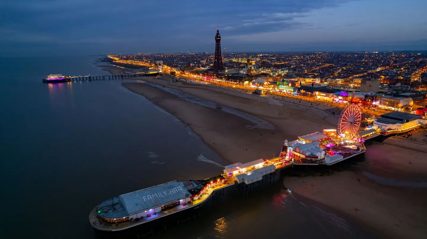
Blackpool TowerPhoto Mark mc neill / Unsplash
Places to explore near Blackpool
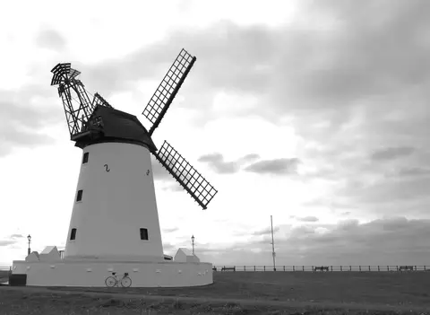
The great working-class resort of the north, Blackpool raised its Tower in imitation of Paris and lit its promenade with illuminations to stretch the season. It stands on the flat Fylde coast, seven miles of sand facing the Irish Sea. South, the tide reworks the dunes and saltmarsh of the Ribble Estuary around genteel Lytham and its windmill. Inland the ground finally rises into the Forest of Bowland, a lonely block of heather fell and deep clough where hen harriers hunt.
68 places within 25 km — the standouts first, nearest first within each group. 2 are national icons.
Worth the tripnational icons and local highlights within reach
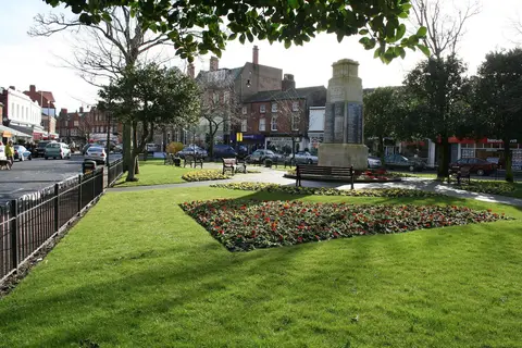
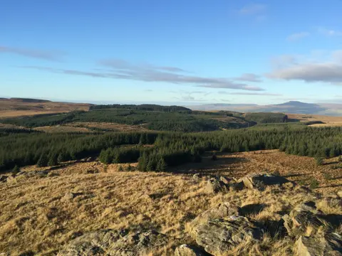
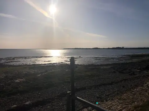
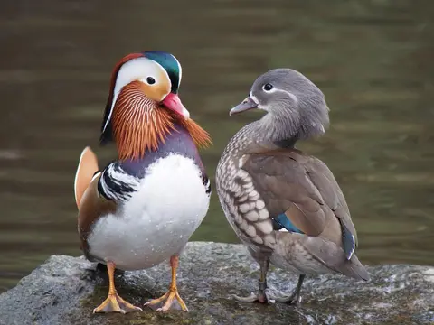
Also nearbygood places nearby, nearest first
Everything else within 25 km (52) — reserves, earthworks & places to check before travelling
- The Farmers Arms (Great Eccleston)Pub12.4 km E
- King Charles III England Coast PathNational Trail15.6 km SE
- Lancaster CanalCanal15.6 km E
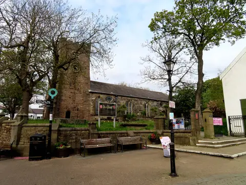
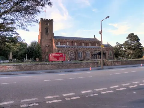
- St Michael's, St Michael's on WyreChurch15.9 km E
- Ribble WayLong-distance path17.6 km SE
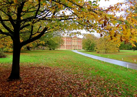
- Hesketh ParkHouse & garden18.3 km S
- St Anne's Church, WoodplumptonChurch19 km E
- Dewlay CheesemakersFarm & farm shop20.4 km NE
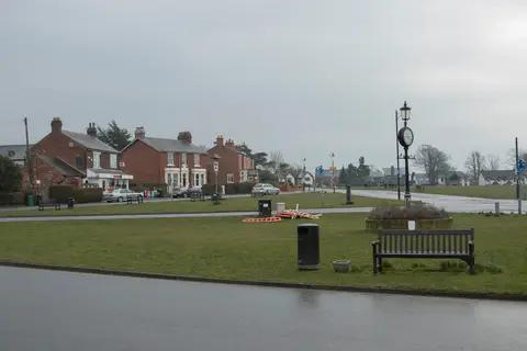
- GarstangVillage20.4 km NE
- JJ Sandham CreameryFarm & farm shop21.7 km E
- Barton Grange Farm ShopFarm & farm shop23.1 km E
- Miller ParkHouse & garden23.7 km E
- Moor Park (Lancashire)House & garden23.7 km E
- Glasson DockVillage23.9 km NE
- Avenham ParkHouse & garden24.1 km E
- Port of Lancaster SmokehouseFarm & farm shop24.1 km NE
- Calder ValeVillage24.2 km NE
- The Bushells ArmsPub24.7 km E
- The Bay Horse InnPub24.8 km NE
- The Stork InnPub24.9 km NE
- Blackpool NorthSwimming spot0.4 km W
- Blackpool CentralSwimming spot1.6 km S
- Warbreck HillCounty topaccess unclear2.6 km N
- Blackpool SouthSwimming spot3 km S
- Marton Mere, BlackpoolSSSIaccess unclear3 km E
- BisphamSwimming spot3.6 km N
- Lytham St Annes DunesSSSIaccess unclear5.1 km S
- St Annes NorthSwimming spot6.4 km S
- Wyre EstuarySSSI6.7 km NE
- CleveleysSwimming spot7.2 km N
- Lytham Coastal ChangesSSSIaccess unclear7.3 km SE
- St AnnesSwimming spot7.6 km S
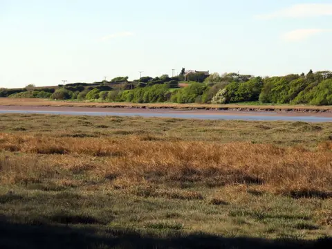
- Ribble EstuaryNational Nature Reserve8.8 km S
- The Cartford InnPub12 km NE
- FleetwoodSwimming spot12.3 km N
- Lune EstuarySSSI12.8 km N
- Knott End-on-SeaVillage13 km N
- Newton MarshSSSIaccess unclear15 km SE
- St Michael's on WyreVillage16.1 km E
- Sefton CoastSSSI17.2 km S
- Winmarleigh MossSSSIaccess unclear17.2 km NE
- Hesketh Golf LinksSSSIaccess unclear17.5 km S
- SouthportSwimming spot18.3 km S
- Cockerham MarshSSSIaccess unclear20.3 km NE
- Greenhalgh CastleCastleaccess unclear21 km NE
- Cockersand Premonstratensian AbbeyAbbeyaccess unclear21.2 km NE
- Rough Hey WoodSSSIaccess unclear22 km E
- Penwortham CastleCastleaccess unclear22.6 km E
- AinsdaleSwimming spot23.3 km S
- Mere Sands WoodSSSIaccess unclear24 km SE
- Morecambe BaySSSI24.1 km N
- Ainsdale Sand DunesNational Nature Reserve24.2 km S
Ordered by how far each place is worth travelling for, then by distance. Distances are straight-line to the nearest edge of each place — paths wind, of course.