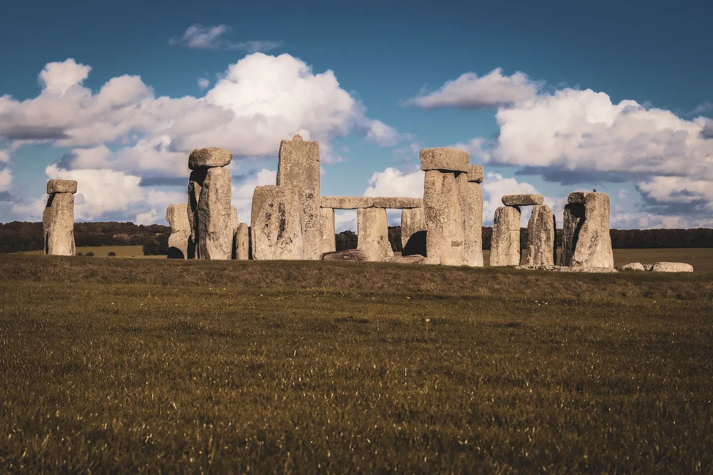
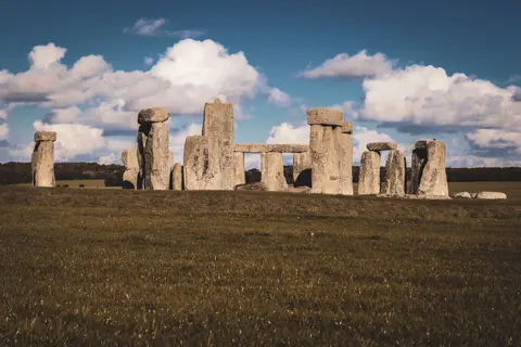
StonehengePhoto Kristian Thomas / Pexels
Places to explore near Salisbury
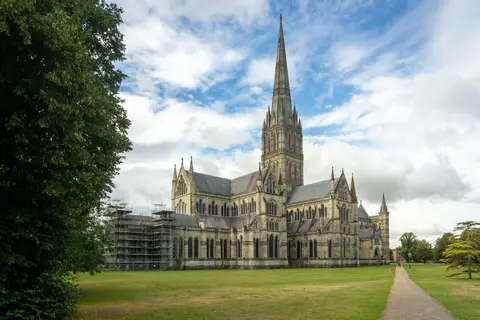
Salisbury was laid out from scratch in the thirteenth century, when the cathedral and its people came down off the windswept hilltop of Old Sarum to the water meadows where five rivers meet. Britain's tallest spire has risen over the Avon ever since, and the chapter house keeps a Magna Carta. The chalk opens on every side. Salisbury Plain rolls north to Stonehenge and, further on, the great henge and stones at Avebury, while Cranborne Chase and the New Forest lie south.
94 places within 25 km — the standouts first, nearest first within each group. 3 are national icons.
Worth the tripnational icons and local highlights within reach
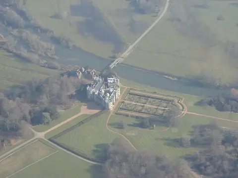

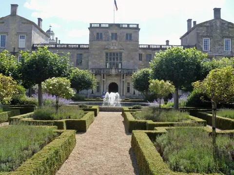
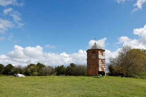
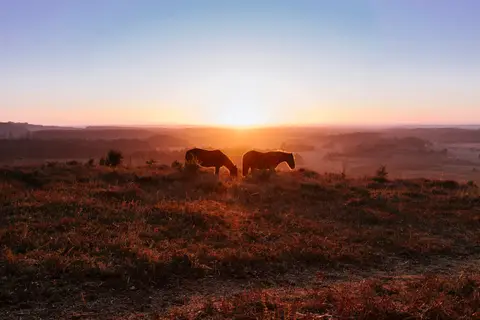
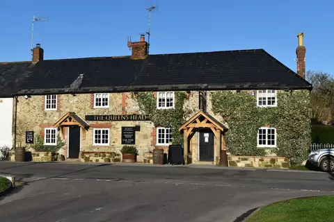
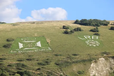
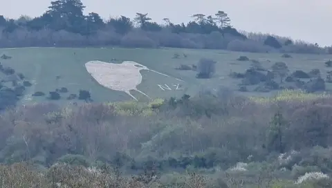
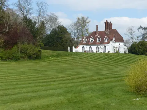
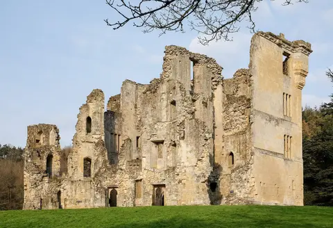
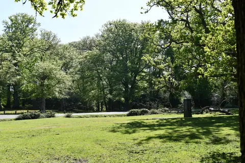
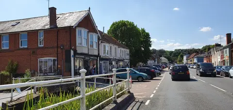

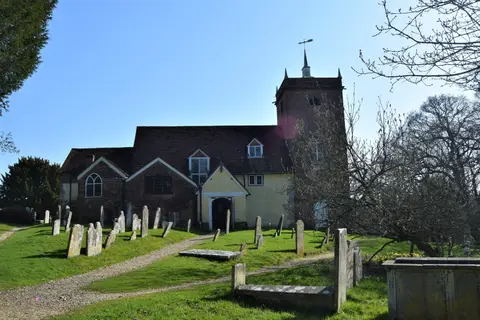
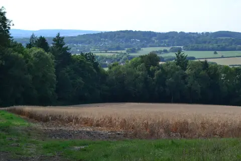
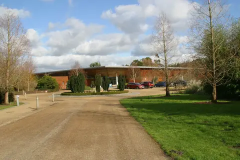
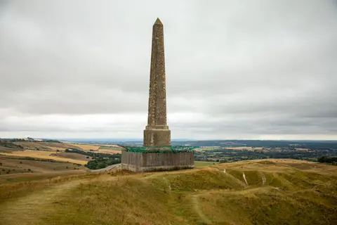
Also nearbygood places nearby, nearest first
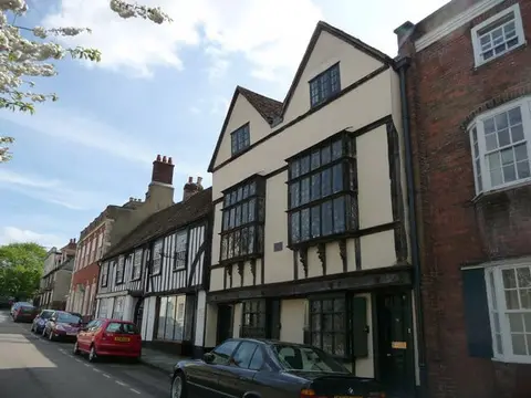
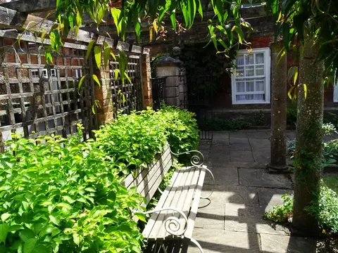
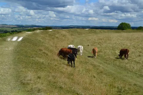
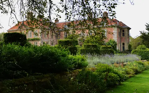
Everything else within 25 km (60) — reserves, earthworks & places to check before travelling
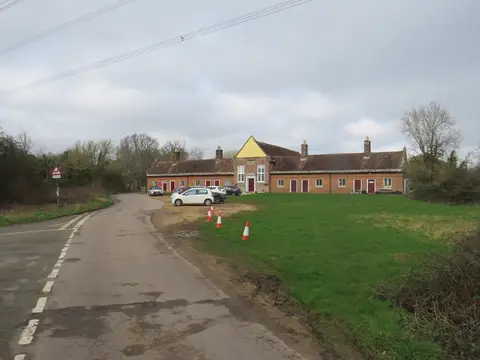
- Broad ChalkeVillage11.7 km SW
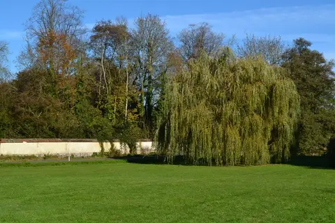
- Stonehenge LandscapeCountry estate12.7 km N
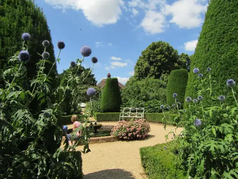
- Hale PurlieuCountry estate13 km SE
- River Avon at Queen Elizabeth GardensSwimming spot0.6 km W
- East Harnham MeadowsSSSIaccess unclear0.9 km S
- West Harnham Chalk PitSSSIaccess unclear1.9 km SW
- Stratford-sub-CastleVillage2.5 km NW
- Cockey DownSSSI2.6 km NE
- Odstock DownSSSIaccess unclear4.3 km S
- Bracknell CroftSSSI4.4 km NE
- Camp DownSSSI4.4 km NW
- Lower Woodford Water MeadowsSSSIaccess unclear4.8 km NW
- Homington and Coombe Bissett DownsSSSI5 km SW
- Clearbury DownSSSI5.6 km S
- Porton DownSSSI6.6 km NE
- Porton MeadowsSSSIaccess unclear6.6 km NE
- Stratford Toney DownSSSI6.7 km SW
- Great YewsSSSIaccess unclear7.1 km SW
- Burcombe DownSSSI7.4 km W
- Throope DownSSSI7.4 km SW
- The Bridge InnPub7.5 km N
- Brickworth Down and Dean HillSSSI7.7 km SE
- Knighton Downs & WoodSSSI8.3 km SW
- Blackmoor CopseSSSIaccess unclear8.5 km E
- Bentley WoodSSSIaccess unclear8.8 km E
- MootEarthworks of a former castleaccess unclear9.4 km S
- Ebsbury DownSSSI9.8 km NW
- Whitsbury hillfortHillfortaccess unclear10.5 km S
- Grovely CastleCastle10.6 km NW
- Knighton Roman roadRoman archaeological siteaccess unclear10.7 km SW
- Stapleford CastleCastleaccess unclear11 km NW
- St Mary's, BreamoreChurch11.1 km S
- Baverstock Juniper BankSSSIaccess unclear11.3 km W
- Knapp and Barnett's DownsSSSI11.4 km W
- Hale ParkHouse & gardenaccess unclear11.6 km S
- West Dean Roman villaRoman archaeological siteaccess unclear11.6 km E
- Coneybury HengeHengeaccess unclear11.7 km N
- Breamore MarshSSSIaccess unclear11.8 km S
- Langley Wood (Wiltshire)National Nature Reserve11.9 km SE
- Amesbury AbbeyHouse & gardenaccess unclear11.9 km N
- Loosehanger Copse and MeadowsSSSIaccess unclear12.1 km SE
- St Michael's Priory (Hampshire)Prioryaccess unclear12.2 km S
- Knoll CampHillfortaccess unclear12.3 km SW
- Toyd Down and QuarrySSSI12.3 km SW
- Whiteparish CommonSSSI12.5 km SE
- Chiselbury CampHillfortaccess unclear12.8 km W
- Steeple Langford DownSSSIaccess unclear12.9 km NW
- East CastleCastleaccess unclear13 km NW
- Salisbury PlainSSSI13 km N
- Chickengrove BottomSSSI13.1 km SW
- Rockbourne Roman villaRoman archaeological siteaccess unclear13.2 km S
- Bowerchalke DownsSSSI13.2 km SW
- Martin DownNational Nature Reserve13.3 km SW
- DintonVillage13.3 km W
- Dinton Railway CuttingSSSIaccess unclear13.6 km W
- Parsonage DownNational Nature Reserve13.7 km NW
- Durrington Walls and WoodhengeHenge13.7 km N
- Broughton DownSSSI13.7 km E
- Dinton QuarrySSSIaccess unclear13.8 km W
- Bulford HengesHengeaccess unclear13.9 km N
Ordered by how far each place is worth travelling for, then by distance. Distances are straight-line to the nearest edge of each place — paths wind, of course.