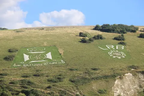
An outline of Australia cut into the down by Australian troops in the First World War, near the Fovant Badges.
Save this place
The only British hill figure shaped like a country, this outline of Australia was cut into Compton Down by Australian troops in the First World War. It faded under grass for decades, until volunteers recut it in 2018. The map shares this run of down with the Fovant Badges, the regimental emblems cut by other soldiers a mile or so east. You can pick both out from the A30 between Salisbury and Shaftesbury, though the map is the fainter of the two.