River Till
A winterbourne crossing Salisbury Plain, dry at its head through most summers and running hard after winter rain
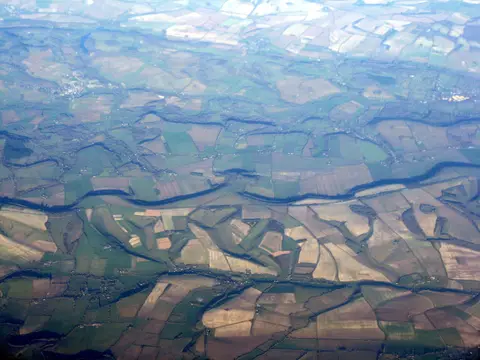
The Till is a small chalk stream on the western edge of Salisbury Plain, running about nine miles from Tilshead down to join the Wylye at Stapleford. For a good part of the year the top of it is a dry bed of white chalk gravel; the springs push further down the valley as the water table falls through summer, and come back up it after the autumn rains. Rivers that behave like this are called winterbournes, and a lot of Wiltshire’s are.
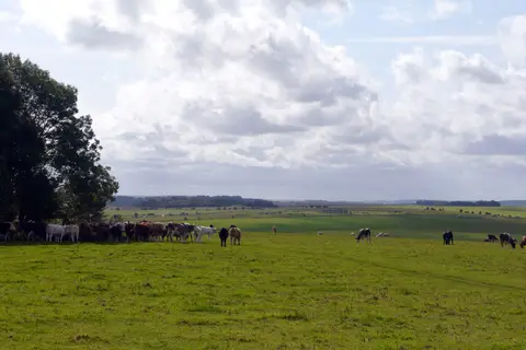
Because it dries and refills, the life in it is unusual — insects and plants that can cope with the channel disappearing for months. The valley is farmed and quiet, with the army’s ranges on the downs above.
The village stretches are where you see it best. At Winterbourne Stoke the river runs beside the old main street under willows, and at Berwick St James and Stapleford it does much the same. There is no long riverside path here; it is a matter of stopping in the villages. Salisbury Station is about eight miles south-east.