Photo Dami Akinbode / Unsplash
Places to explore near Bournemouth
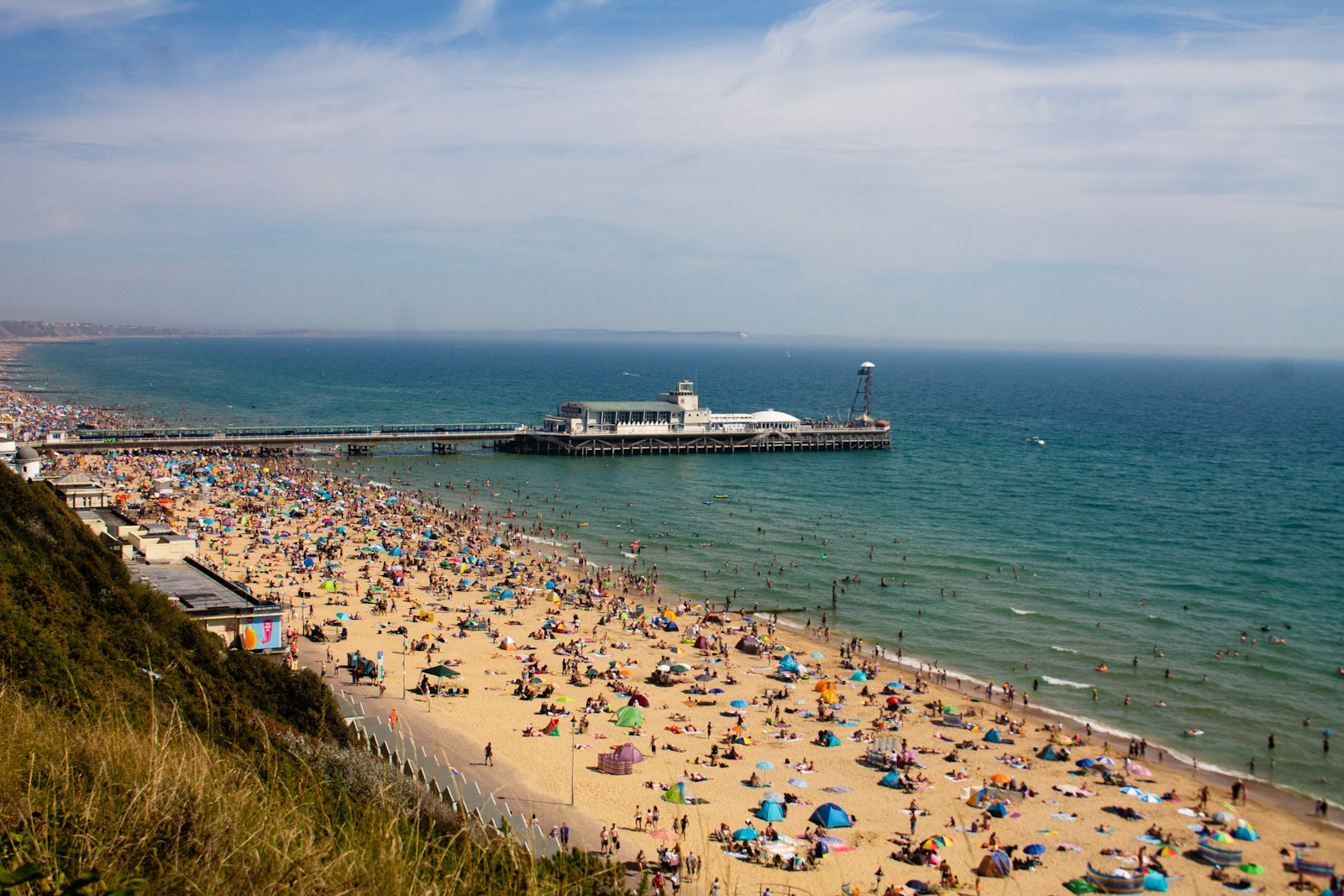
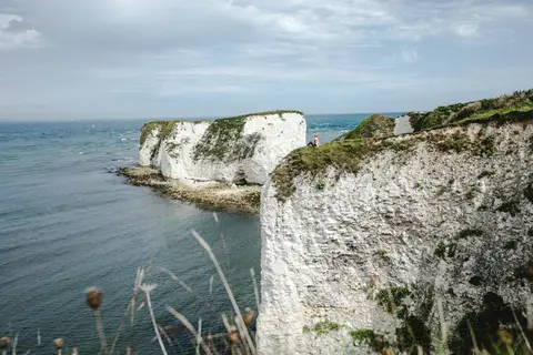
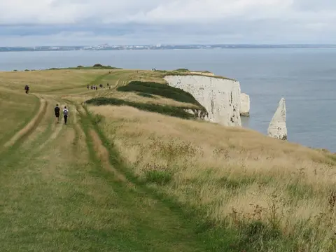
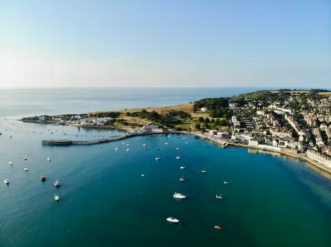
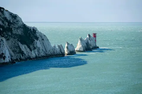
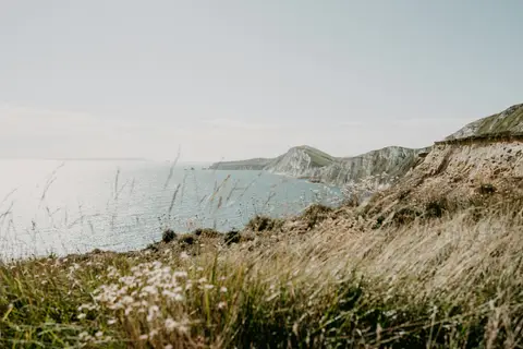
Bournemouth is a Victorian invention, a resort laid out among pine-filled chines behind seven miles of sand, its beach running east to the headland of Hengistbury Head. Across the water, Poole Harbour shelters Brownsea Island and its red squirrels, while the ferry from Sandbanks lands on the dunes of Studland. Beyond rise the chalk stacks of Old Harry Rocks and the ruined keep of Corfe Castle, gateway to the Purbeck hills.
104 places within 25 km — the standouts first, nearest first within each group. 6 are national icons.
Worth the tripnational icons and local highlights within reach
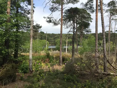
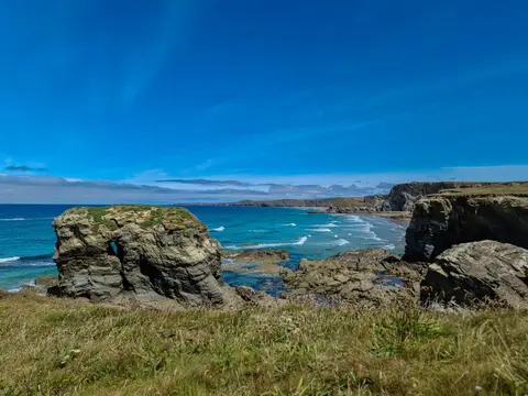
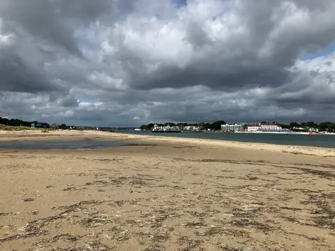
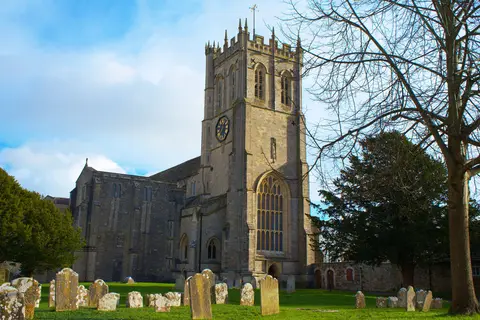
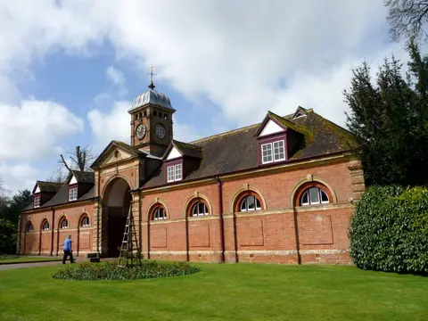
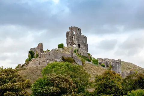
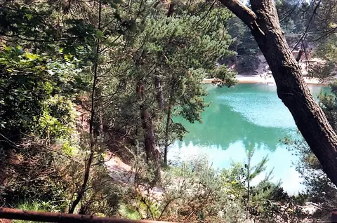
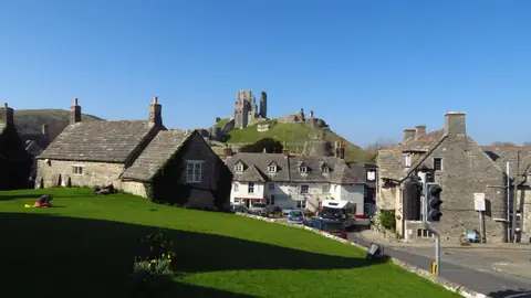
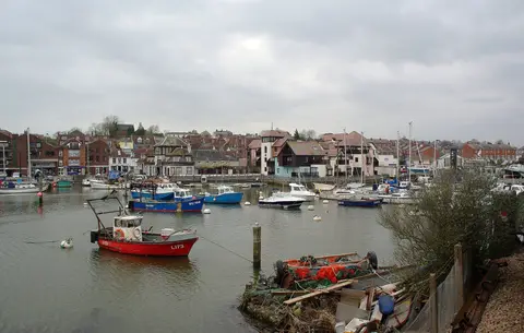
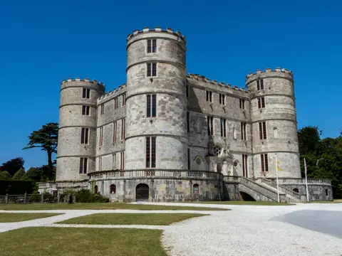
Also nearbygood places nearby, nearest first
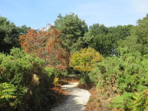

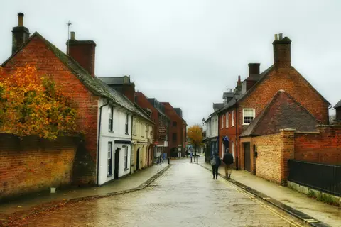
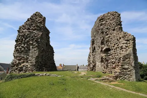
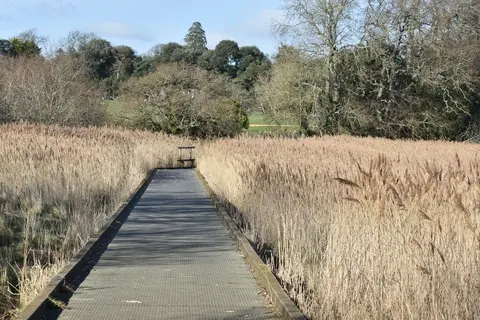
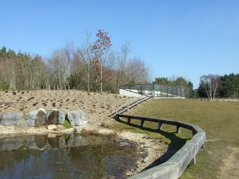
Everything else within 25 km (58) — reserves, earthworks & places to check before travelling
- MacPenny's Woodland GardenGarden12.4 km NE
- Poole Bay CliffsSSSI0.5 km S
- Bournemouth PierSwimming spot0.6 km SE
- Bournemouth Durley ChineSwimming spot1 km SW
- Bournemouth Alum ChineSwimming spot1.5 km SW
- Bourne ValleySSSI2 km NW
- Bournemouth Boscombe PierSwimming spot2.5 km E
- Poole Branksome ChineSwimming spot2.6 km SW
- The Saltwater Sauna, BoscombeSauna2.8 km E
- Bournemouth Manor StepsSwimming spot3.4 km E
- Poole Canford Cliffs ChineSwimming spot3.6 km SW
- Luscombe ValleySSSIaccess unclear3.6 km W
- Turbary and Kinson CommonsSSSI4 km NW
- Bournemouth Fisherman`s WalkSwimming spot4.4 km E
- Poole Shore Road BeachSwimming spot4.5 km SW
- Poole HarbourSSSI4.5 km SW
- The Saltwater Sauna, SandbanksSauna5.2 km SW
- Poole Sandbanks PeninsularSwimming spot5.3 km SW
- Moors River SystemSSSI5.6 km NE
- Canford HeathSSSI5.8 km NW
- Bournemouth SouthbourneSwimming spot6.2 km E
- Town CommonSSSI6.9 km NE
- Parley CommonSSSI7 km N
- Avon Valley (Bickton to Christchurch)SSSI7.4 km E
- Hurn CommonSSSI7.4 km N
- Pre-Conquest monasteryMonasteryaccess unclear7.6 km E
- Bournemouth Hengistbury WestSwimming spot7.7 km E
- Purewell MeadowsSSSIaccess unclear8.1 km E
- Slomo, Hengistbury HeadSauna8.1 km E
- Ferndown CommonSSSI8.4 km N
- Rempstone HeathsSSSI8.5 km SW
- Studland Knoll HouseSwimming spot9.1 km SW
- Studland CliffsSSSI9.1 km S
- Studland Sauna HutSauna9.2 km SW
- Corfe & Barrow HillsSSSI9.6 km NW
- Christchurch Mudeford Sandbank EastSwimming spot9.7 km E
- Upton HeathSSSI9.7 km W
- Ham CommonSSSI9.8 km W
- Poole Harbour LakeSwimming spot10.2 km W
- Corfe HillsCounty topaccess unclear10.3 km NW
- ArneSSSI10.3 km W
- Christchurch Avon BeachSwimming spot10.4 km E
- Slop Bog and Uddens HeathSSSI10.4 km N
- The Saltwater Sauna, Avon BeachSauna10.4 km E
- Purbeck Ridge (East)SSSI10.5 km S
- Christchurch Friar`s CliffSwimming spot10.7 km E
- Highcliffe to Milford CliffsSSSIaccess unclear11 km E
- Burton CommonSSSIaccess unclear11.2 km NE
- Poole Harbour Rockley SandsSwimming spot11.3 km W
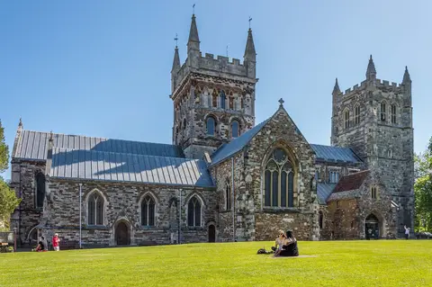
- Wimborne MinsterChurch11.6 km NW
- Christchurch Highcliffe CastleSwimming spot11.8 km E
- Corfe Mullen PasturesSSSIaccess unclear11.8 km NW
- Lions HillSSSI12.3 km N
- Brenscombe HeathSSSI12.4 km SW
- Nine Barrow DownMarilynaccess unclear12.6 km SW
- Holton HeathNational Nature Reserve12.7 km W
- Rempstone StoneStone circleaccess unclear12.8 km SW
- HighcliffeSwimming spot12.9 km E
Ordered by how far each place is worth travelling for, then by distance. Distances are straight-line to the nearest edge of each place — paths wind, of course.