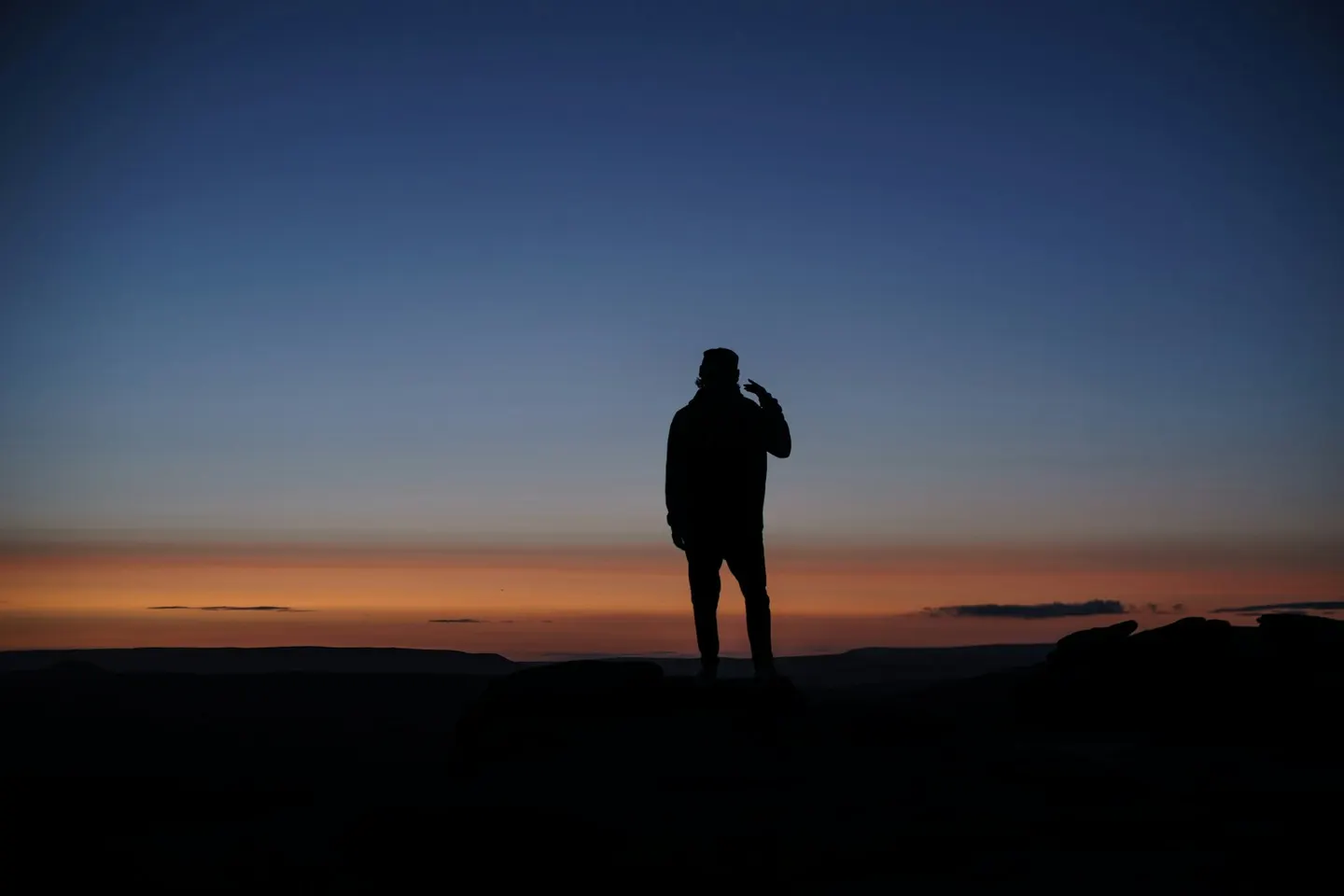
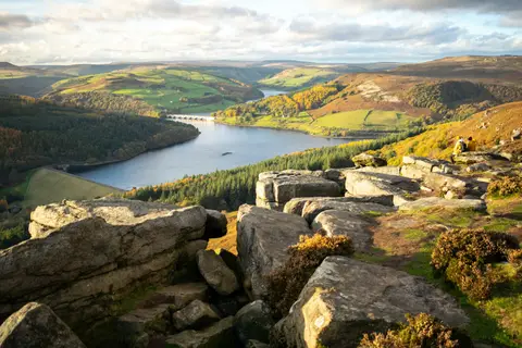
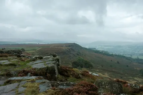
Stanage EdgePhoto Adam Dore / Unsplash
Places to explore near Rotherham
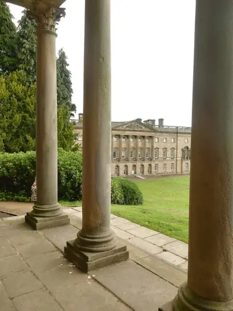
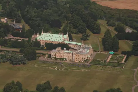
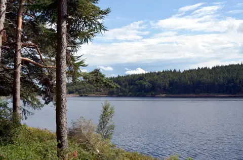
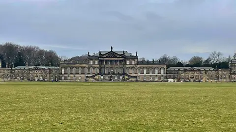
Steel and coal built Rotherham, set where the River Rother joins the Don in the heart of South Yorkshire; its medieval minster still rises above the town centre. Just north stands Wentworth Woodhouse, whose facade is the longest of any house in England, raised on the wealth of the coalfield. The tranquil ruin of Roche Abbey lies in a limestone gorge to the east, country parks ring the town at Ulley and Thrybergh, and the gritstone edge of Wharncliffe Crags points west towards the Peak District.
94 places within 25 km — the standouts first, nearest first within each group. 5 are national icons.
Worth the tripnational icons and local highlights within reach
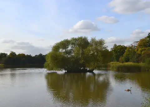
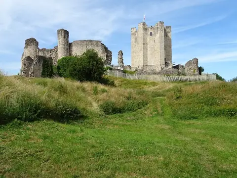

Also nearbygood places nearby, nearest first

Everything else within 25 km (64) — reserves, earthworks & places to check before travelling
- Netherwood Country ParkCountry park11.8 km N
- Phoenix ParkCountry park12.4 km N
- Worsbrough Mill Country ParkCountry park12.8 km NW
- Renishaw Hall VineyardVineyard14.2 km S
- Beauchief AbbeyAbbey14.5 km SW
- Dearne Valley Country ParkCountry park14.6 km N
- Monk Bretton PrioryPriory14.9 km N
- Langold ParkCountry park15.5 km SE
- Cusworth ParkCountry park15.8 km NE
- Poolsbrook Country ParkCountry park18.6 km S
- Bradgate BrickworksSSSIaccess unclear1.8 km W
- Kimberworth motteEarthworks of a former castleaccess unclear2.6 km W
- Wincobank hillfortHillfortaccess unclear5.5 km W
- CownhillCounty topaccess unclear8.5 km E
- Neepsend BrickworksSSSI8.7 km SW
- Dearne Valley WetlandsSSSI8.9 km N
- Castle Hills motte (South Yorkshire)Castleaccess unclear9 km NE
- Neepsend Railway CuttingSSSIaccess unclear9.1 km W
- Castle Hill motte (South Yorkshire)Castleaccess unclear9.7 km SE
- Ashfield Brick PitsSSSIaccess unclear9.9 km NE
- Wood Lee CommonSSSI10.2 km E
- Denaby IngsSSSIaccess unclear10.5 km NE
- Roche Abbey WoodlandsSSSIaccess unclear10.6 km E
- Cadeby QuarrySSSIaccess unclear11.1 km NE
- Sprotbrough GorgeSSSIaccess unclear11.2 km NE
- Wadsley Fossil ForestSSSIaccess unclear11.2 km W
- Maltby Low CommonSSSI11.3 km E
- Moss Valley MeadowsSSSIaccess unclear11.4 km SW
- New Edlington BrickpitSSSIaccess unclear11.7 km NE
- Edlington WoodSSSIaccess unclear12.3 km E
- Moss ValleySSSIaccess unclear12.5 km S
- Stannington RuffsSSSIaccess unclear12.6 km W
- Stairfoot BrickworksSSSIaccess unclear13 km N
- Anston Stones WoodSSSIaccess unclear13.2 km SE
- Moss Valley WoodsSSSIaccess unclear13.2 km S
- Sandbeck Park and Roche AbbeyHouse & gardenaccess unclear13.4 km E
- Wharncliffe CragsSSSI13.4 km W
- WortleyVillage13.9 km NW
- Fir Hill - Harthill FieldCounty topaccess unclear14.6 km SE
- Lindrick Golf CourseSSSIaccess unclear14.8 km SE
- Totley WoodSSSIaccess unclear14.8 km SW
- Bilham Sand PitsSSSIaccess unclear15 km NE
- Carlton Main BrickworksSSSIaccess unclear15.2 km N
- Cherry Tree InnPub15.2 km NW
- Cusworth MotteEarthworks of a former castleaccess unclear15.3 km NE
- Crabtree WoodSSSIaccess unclear15.3 km S
- Dyscarr WoodSSSI15.5 km E
- Castle Hill motte, High BradfieldCastleaccess unclear15.9 km W
- Tickhill CastleCastleaccess unclear16.2 km E
- Ginny Spring, Whitwell WoodSSSIaccess unclear16.3 km SE
- Bailey Hill motteEarthworks of a former castleaccess unclear16.4 km W
- Eastern Peak District MoorsSSSI16.6 km W
- Shireoaks HallHouse & gardenaccess unclear17.1 km SE
- Canyards HillsSSSI17.3 km W
- Potteric CarrSSSIaccess unclear17.6 km NE
- Styrrup QuarrySSSIaccess unclear17.6 km E
- Wall of Roman fortRoman archaeological siteaccess unclear18 km NE
- Stancil Roman villaRoman archaeological siteaccess unclear18.1 km E
- Dark PeakSSSI18.3 km W
- Castle Hills motte, Adwick le StreetCastleaccess unclear18.5 km NE
- Castle Hill motte (Derbyshire)Castleaccess unclear18.8 km SW
- Hollinhill and Markland GripsSSSIaccess unclear18.8 km SE
- Markland Grips promontory fortPromontory fortaccess unclear19.3 km SE
- Castle Hill (South Yorkshire)Castleaccess unclear19.4 km NE
Ordered by how far each place is worth travelling for, then by distance. Distances are straight-line to the nearest edge of each place — paths wind, of course.