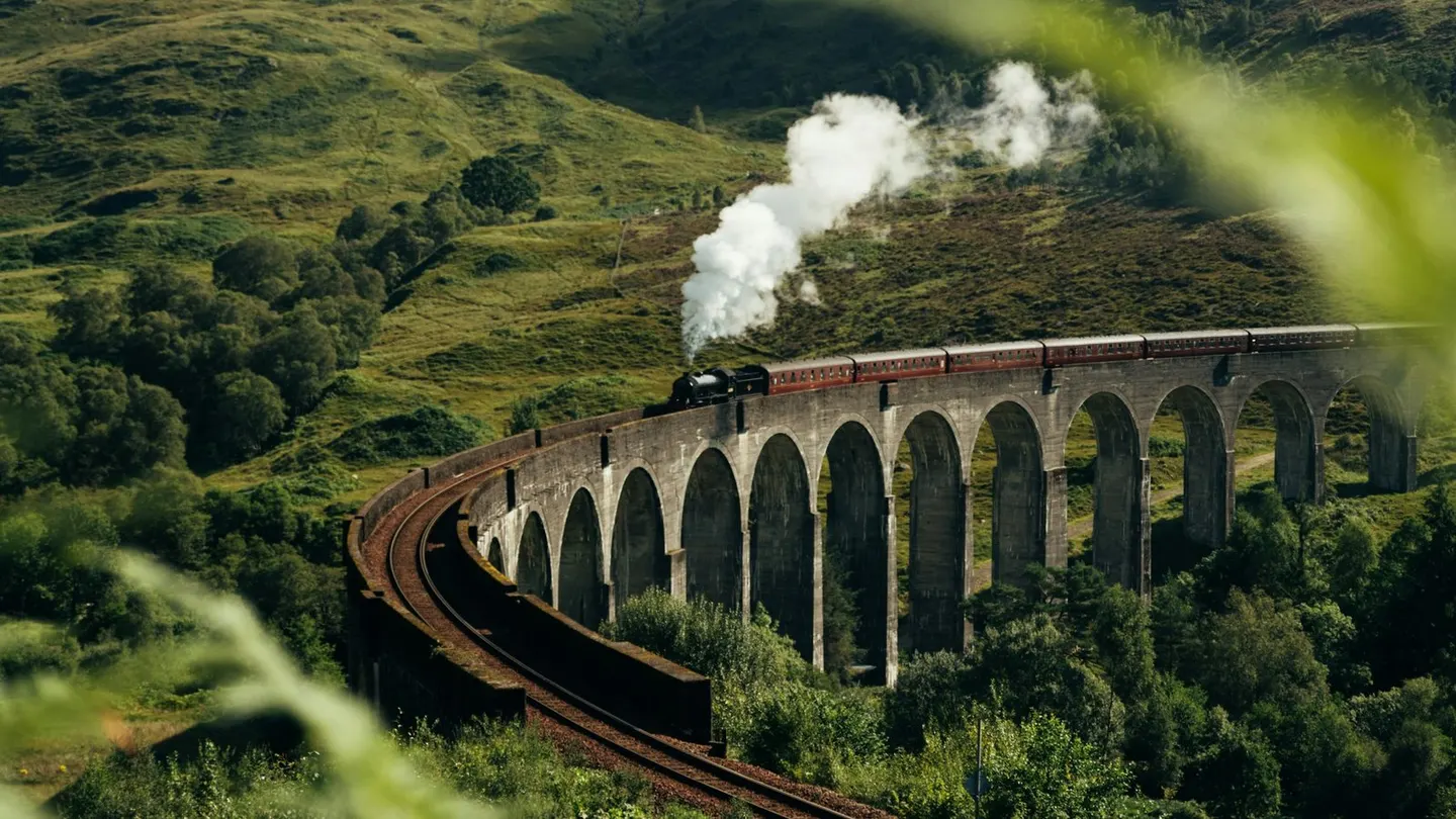
Places to explore near Fort William
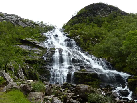
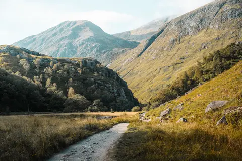
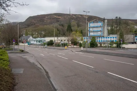
Fort William spreads along the shore of Loch Linnhe beneath the bulk of Ben Nevis, the highest mountain in Britain, and calls itself the outdoor capital of the UK with some justice. Behind it, Glen Nevis cuts in past the plunging Steall Falls, and the ski ground of Aonach Mor rises to the north. The road south drops into the dark grandeur of Glencoe, while the Caledonian Canal and the Great Glen Way set off north-east along the fault line towards Inverness.
92 places within 25 km — the standouts first, nearest first within each group. 6 are national icons.
Worth the tripnational icons and local highlights within reach
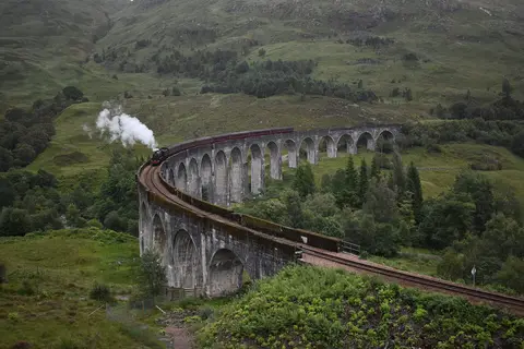
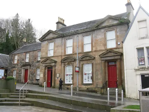
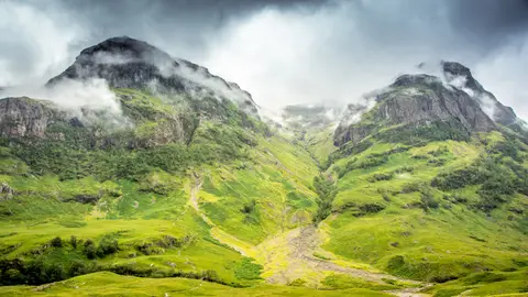
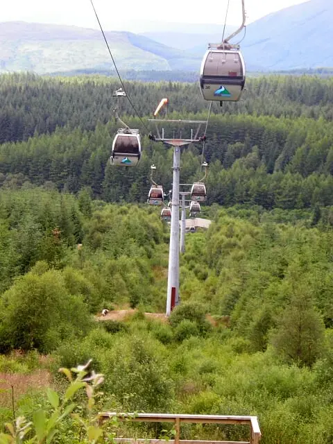
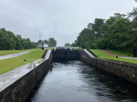
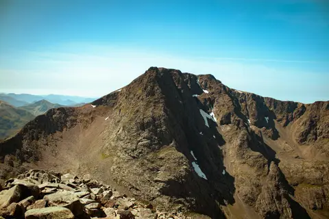
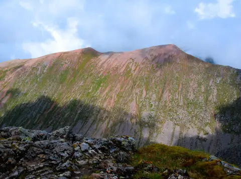
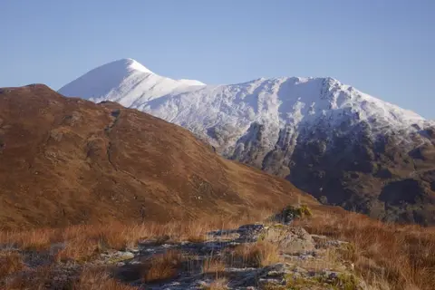
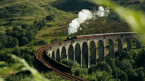
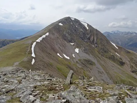
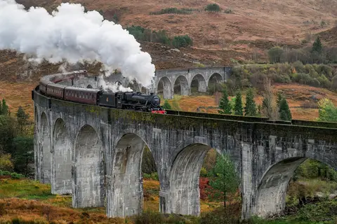
Also nearbygood places nearby, nearest first
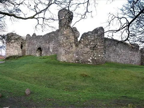
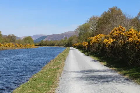
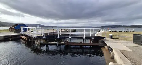
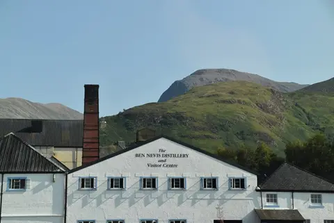
Everything else within 25 km (52) — reserves, earthworks & places to check before travelling
- The Moorings HotelPub3.1 km N
- Lochaber Farm ShopFarm & farm shop6.8 km NE
- Mullach nan CoireanMunro7.9 km S
- Druim Fada (Highland, 743m)Graham8.6 km N
- Stob Coire a' ChearcaillCorbett9 km W
- Sgurr a' MhaimMunro9.3 km SE
- Stob Ban (Highland)Munro9.5 km SE
- An GearanachMunro10.8 km SE
- Stob Coire a' ChairnMunro11.2 km SE
- Am BodachMunro11.3 km SE
- Mam na GualainnCorbett11.5 km S
- Beinn Bhan (Highland)Corbett12.2 km N
- Sgurr Choinnich MorMunro12.4 km E
- Binnein BeagMunro13.1 km SE
- Na GruagaicheanMunro13.1 km SE
- Meall a' PhubuillCorbett13.7 km NW
- Grey Mare's Tail Waterfall, KinlochlevenWaterfall14.1 km SE
- St Paul's Episcopal Church, KinlochlevenChurch14.3 km SE
- The Tailrace InnPub14.4 km SE
- Pap of GlencoeGraham14.7 km S
- Sgurr Eilde MorMunro14.9 km SE
- The Study (Glen Coe Viewpoint)Viewpoint15.1 km S
- GlencoeVillage15.1 km S
- Druim na SgriodainGraham15.2 km SW
- Garbh Bheinn (Highland, 867m)Corbett15.3 km SE
- GlencoeNational Nature Reserve15.5 km S
- Aonach Eagach - Sgorr nam FiannaidhMunro16.1 km S
- Stob Ban (Highland, 977m)Munro16.1 km E
- Mullach Coire nan Geur-oireanGraham16.3 km NW
- Aonach Eagach - Meall DeargMunro16.6 km S
- GulvainMunro17 km NW
- The Ben Nevis BarPub0.5 km SW
- The Grog & GruelPub0.5 km SW
- Battle of Inverlochy IBattlefield1.3 km NE
- Battle of Inverlochy IIBattlefield1.9 km NE
- Ben Nevis InnPub2.2 km SE
- CorpachVillage2.8 km N
- Druim na h-EarbaMarilyn3.1 km SW
- Bidean Bad na h-IolaireMarilyn3.3 km S
- Meall an t-SlamainMarilyn3.5 km W
- Tor CastleCastle5.2 km NE
- Beinn na GucaigGraham9.7 km SW
- Doire BanMarilyn9.8 km S
- Tom MeadhoinGraham12 km S
- Meall OnfhaidhGraham13.8 km NW
- Aodann ChleireigGraham14 km NW
- KinlochlevenVillage14.5 km SE
- Druim Leathad nam FiasMarilyn15.4 km W
- Woodlands Wilderness SaunaSauna15.5 km S
- AchnacarryVillage15.6 km NE
- BallachulishVillage16.1 km S
- Glas Bheinn (Highland, 635m)Graham16.7 km W
Ordered by how far each place is worth travelling for, then by distance. Distances are straight-line to the nearest edge of each place — paths wind, of course.