Sixty miles through the Great Glen from Fort William to Inverness, of which only a third is dug canal
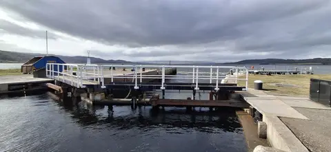
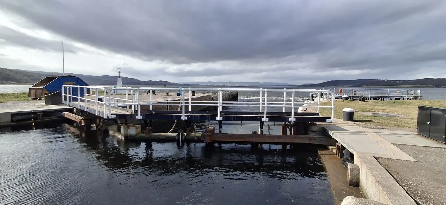
The Caledonian Canal runs coast to coast through the Great Glen, the long geological rift that splits the Highlands from south-west to north-east. It is 60 miles from the sea lock at Corpach, near Fort William, to the one at Clachnaharry on the edge of Inverness, but only about a third of that is man-made. The rest is open water: the canal strings together three natural lochs — Loch Lochy, Loch Oich and the long deep trench of Loch Ness — with cut channels between them, 29 locks in all lifting boats up to the summit at Loch Oich and back down.
Its best-known feature is Neptune’s Staircase at Banavie, a flight of eight locks that raises the canal 64 feet in a quarter of a mile — the longest staircase lock in Britain. There is a second flight of five locks in the middle of Fort Augustus, where the canal steps down into Loch Ness through the centre of the village.
The canal was engineered by Thomas Telford and built between 1803 and 1822 to give shipping a safe route across Scotland, avoiding the long and dangerous passage round the north coast. It took far longer and cost far more than planned, and by the time it opened larger steamships had begun to outgrow it, so it never carried the traffic intended.
Today it is a leisure waterway. The Great Glen Way follows it on foot and the Great Glen Canoe Trail on the water, both running the full length between the two towns; Ben Nevis rises above the Corpach end.