Sixty miles by canoe or kayak coast to coast through the Great Glen, from Fort William to Inverness by loch and canal
Indicative — sampled from open terrain data along the simplified route.
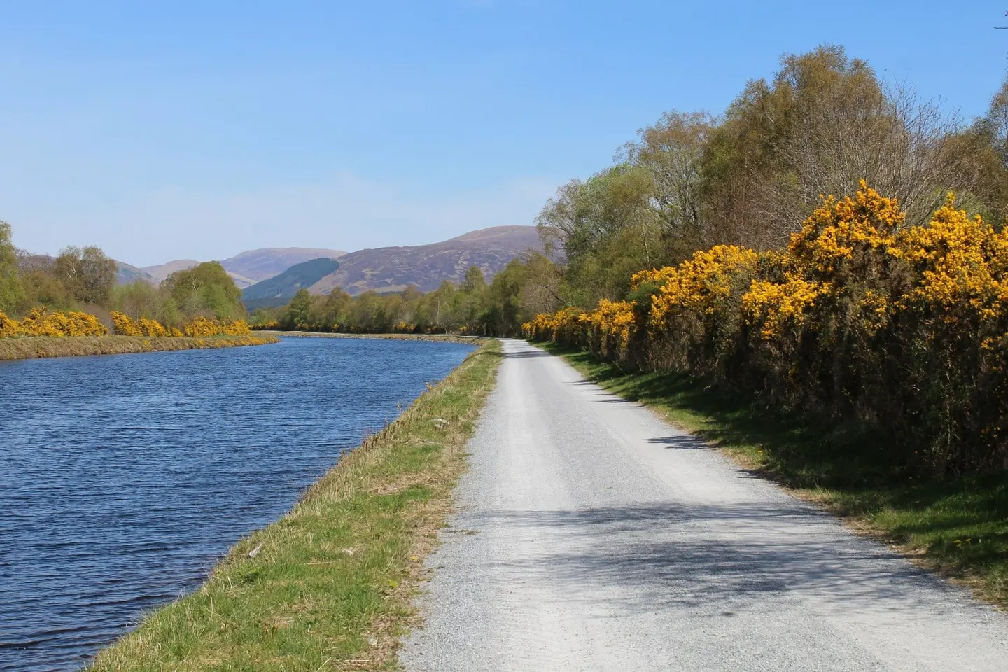
The Great Glen Canoe Trail is a paddling route the length of the Great Glen, the long straight rift that cuts across the Highlands from coast to coast. It runs about 60 miles (96 km) from Fort William on the west to Inverness on the east, linking three lochs by the stretches of the Caledonian Canal that Thomas Telford built between them. Roughly two-thirds is open water on the lochs and the rest is canal. Most paddlers take three days in a kayak or up to five in an open canoe.
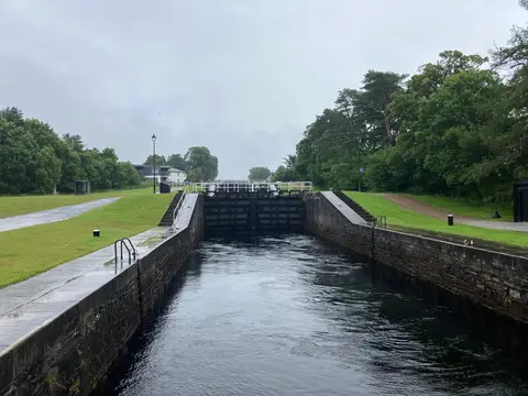
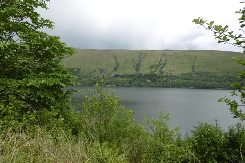
The route is usually done west to east, so the prevailing wind is behind you. From the sea locks near Fort William it climbs Neptune’s Staircase, Telford’s eight-lock flight at Banavie, then crosses Loch Lochy, the short Loch Oich at the summit, and finally the long expanse of Loch Ness, 23 miles of deep open water, before the canal drops through Fort Augustus and on to Inverness. The lochs are big enough to raise real waves in wind, and the loch crossings are the serious part of the trip; the canal sections are calm but need the boat carrying round each set of locks.
The trail is managed by Scottish Canals, who provide designated informal campsites, or trailblazer sites, along the way for those making the full journey. It shares the glen with the walkers’ Great Glen Way, which follows the same line on foot, and both ends sit under high hills — Ben Nevis rises close to the start at Fort William.