Places to explore near Chelmsford
Essex's county town stands where the Chelmer and Can rivers meet, a Roman staging post that later became the world's first purpose-built radio factory under Marconi. The Chelmer & Blackwater Navigation runs from the centre down towards the coast. Wooded commons sit close at Danbury, on a gravel ridge east of town, and Hanningfield Reservoir draws wildfowl to its bordering woods in the south. Follow the navigation and the estuary widens into the Blackwater Estuary, a place of saltmarsh, oysters and the tidal island of Northey.
82 places within 25 km — the standouts first, nearest first within each group.
Worth the tripnational icons and local highlights within reach
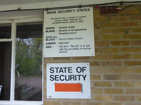
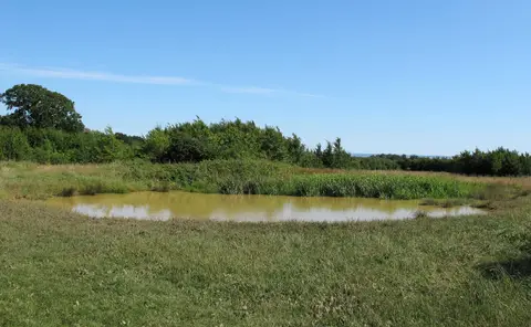
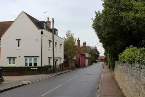
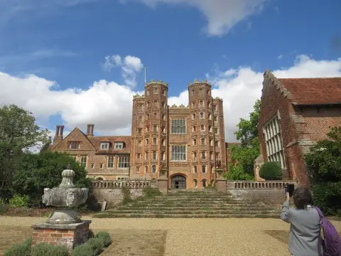
Also nearbygood places nearby, nearest first
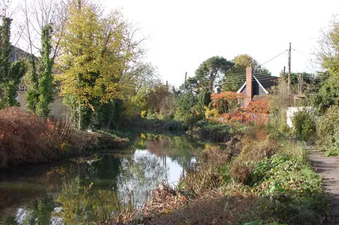
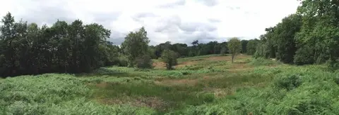
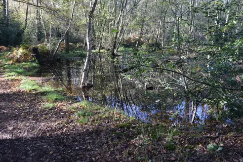
Everything else within 25 km (66) — reserves, earthworks & places to check before travelling
- Mountnessing WindmillWindmill11.1 km SW
- Norsey Wood Country ParkCountry park11.2 km S
- Blackwater Rail Trail Country ParkCountry park12.4 km NE
- King Charles III England Coast PathNational Trail12.7 km SE
- Beeleigh Abbey GardensGarden12.7 km E
- Marsh Farm Country ParkCountry park12.8 km SE
- Hutton Country ParkCountry park13.1 km SW
- New Hall VineyardsVineyard13.3 km E
- Mighty Oak BreweryBrewery13.5 km E
- Maldon Salt CompanyFarm & farm shop13.6 km E
- Great Notley Country ParkCountry park13.7 km N
- MaldonVillage13.8 km E
- Aythorpe Roding WindmillWindmill14.5 km NW
- Flitch Way Country ParkCountry park14.8 km N
- Wick Country ParkCountry park15.7 km S
- Merrymeade Country ParkCountry park16.4 km SW
- Northey IslandNature reserve17 km E
- Greensted ChurchChurch17.8 km W
- The Boars HeadPub17.9 km SW
- St Faith's Country ParkCountry park18 km SW
- Weald Country ParkCountry park18 km SW
- Rayleigh WindmillWindmill18.3 km SE
- Warley Country ParkCountry park19 km SW
- Bocking WindmillWindmill19.6 km N
- West Street VineyardVineyard19.8 km NE
- Wat Tyler Country ParkCountry park20.1 km S
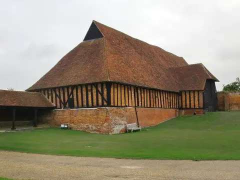
- Coggeshall Grange BarnAncient site20.3 km NE
- Westley Heights Country ParkCountry park20.3 km S
- Northlands Wood Country ParkCountry park20.4 km S
- Paycocke's House and GardenHouse & garden20.5 km NE
- Langdon Hills Country ParkCountry park20.5 km S
- Wilkin & Sons TiptreeFarm & farm shop20.5 km NE
- Newney Green PitSSSIaccess unclear6.5 km W
- Danbury campHillfortaccess unclear6.9 km E
- Woodham Walter CommonSSSI7 km E
- Hanningfield ReservoirSSSIaccess unclear7.7 km S
- Bicknacre PrioryPrioryaccess unclear8.5 km SE
- River TerSSSIaccess unclear8.8 km N
- Pleshey CastleCastleaccess unclear8.9 km NW
- Thrift Wood, Woodham FerrersSSSIaccess unclear9.1 km SE
- Hatfield PrioryPrioryaccess unclear9.3 km NE
- Blunts Hall ringworkEarthworks of a former castleaccess unclear11.9 km NE
- Leez Augustinian PrioryPrioryaccess unclear11.9 km N
- Thoby PrioryPrioryaccess unclear11.9 km SW
- Crouch and Roach EstuariesSSSI12.8 km SE
- Maldon CuttingSSSIaccess unclear12.8 km E
- Mill Meadows, BillericaySSSIaccess unclear13.1 km S
- Garnetts Wood / Barnston LaysSSSIaccess unclear13.2 km NW
- The Barge InnPub13.7 km SE
- Lofts Farm PitSSSIaccess unclear15.1 km E
- Battle of MaldonBattlefield15.6 km E
- The Coppice, Kelvedon HatchSSSIaccess unclear15.7 km SW
- Canfield CastleCastleaccess unclear16 km NW
- Ongar CastleCastleaccess unclear16.3 km W
- Braxted ParkHouse & gardenaccess unclear16.8 km NE
- Great DunmowVillage17 km NW
- High Wood, DunmowSSSIaccess unclear17.9 km NW
- Tiptree HeathSSSI17.9 km E
- Mount (Essex)Earthworks of a former castleaccess unclear18.2 km N
- South Weald CampHillfortaccess unclear18.3 km SW
- Rayleigh CastleCastleaccess unclear18.6 km SE
- Hockley WoodsSSSIaccess unclear18.8 km SE
- Hatfield Broad Oak PrioryPrioryaccess unclear19.2 km NW
- Thundersley Great CommonSSSI19.4 km SE
- Vange & Fobbing MarshesSSSIaccess unclear20 km S
- Coggeshall AbbeyAbbeyaccess unclear20.8 km NE
Ordered by how far each place is worth travelling for, then by distance. Distances are straight-line to the nearest edge of each place — paths wind, of course.