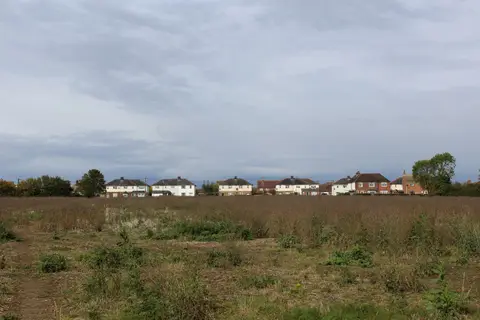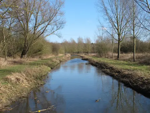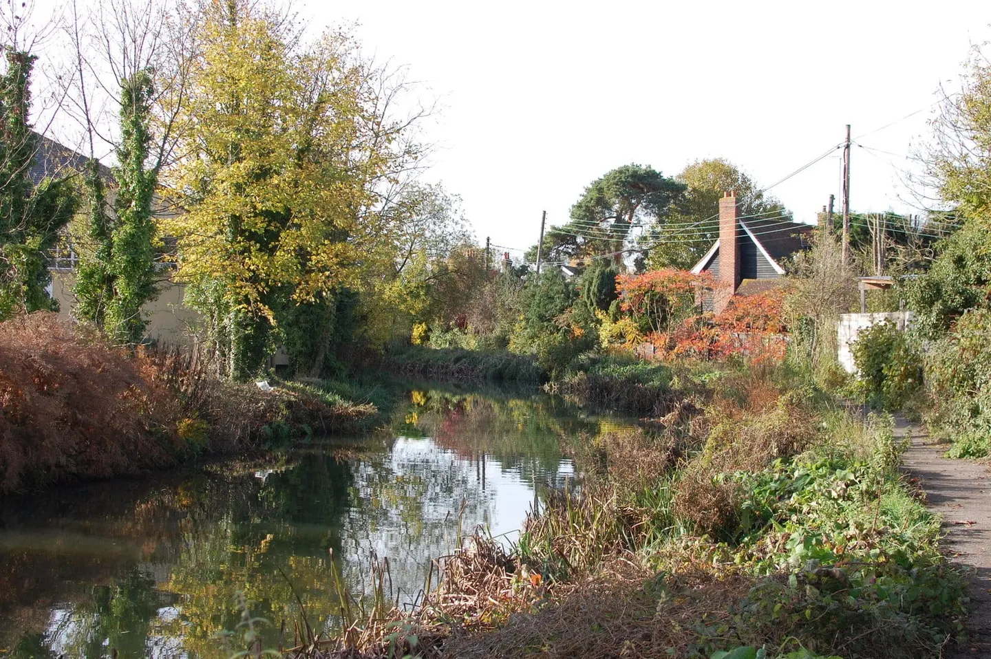
Fourteen miles of quiet Essex water from Chelmsford down to the sea lock at Heybridge Basin
The Chelmer & Blackwater Navigation runs for about fourteen miles across Essex, from Springfield Basin in the middle of Chelmsford down to a sea lock at Heybridge Basin, near Maldon on the estuary of the River Blackwater. It is a river navigation rather than a true canal — a canalised course of the Chelmer, with cuts and locks added to make it navigable — and it drops through thirteen locks on its way down to tidewater.
It opened in 1797, engineered by John Rennie, to bring coal, timber and lime up from the coast to Chelmsford and carry farm produce back down. Maldon, protective of its own port trade, fought the scheme and forced the route to bypass the town, which is why it ends at Heybridge rather than in Maldon itself. Commercial traffic lasted well into the 20th century, later than on many inland waterways, and the navigation was never abandoned or left to ruin, so it remains open along its whole length today.
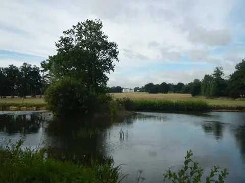
The towpath runs the full fourteen miles and the walking is flat and gentle, through water meadows, mills and reedy backwaters that feel a long way from the built-up parts of the county. Beeleigh, where the Chelmer and the Blackwater meet near Maldon, is a good place to see the older workings; Heybridge Basin, where the water meets the tide, has boats, a couple of pubs and views out over the estuary.
It is run by Essex Waterways on behalf of the navigation company. Chelmsford at the top end has a mainline station, which makes the upper reaches easy to reach, and the whole route is popular with walkers, anglers and unpowered boats.