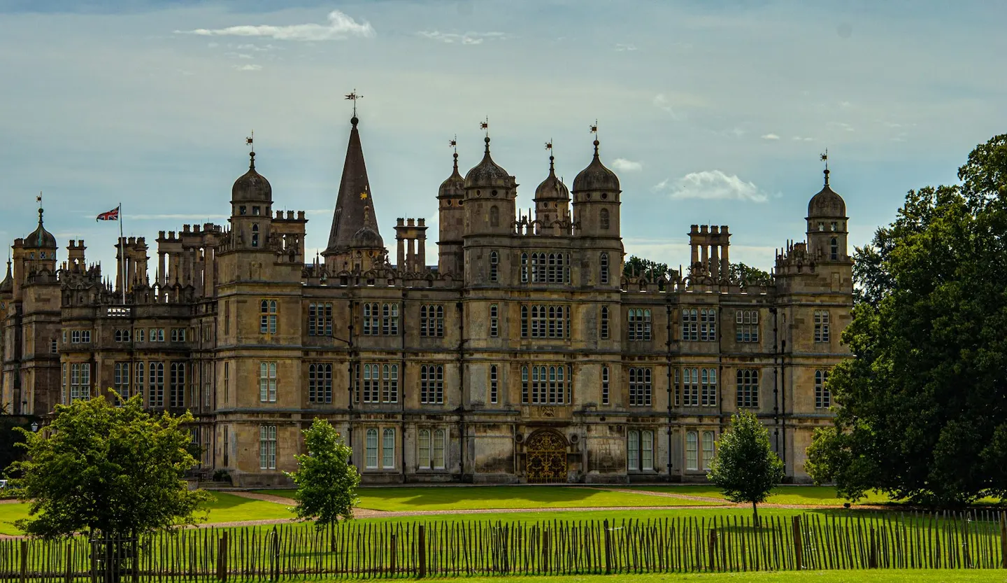
Places to explore near Peterborough
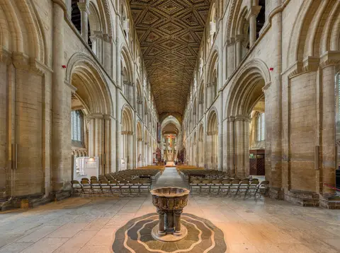
One of the finest Norman cathedrals in England rises above Peterborough, a fenland market town turned railway and brick city on the River Nene. The land around lies flat, black and below the sea, drained over centuries into the arable Fens. West the river climbs to the reed-fringed reservoir of Rutland Water, a magnet for ospreys and sailors. The Bronze Age causeway at Flag Fen survives in the waterlogged peat nearby, and the wet grassland of the Nene Washes floods each winter into a haven for wildfowl.
85 places within 25 km — the standouts first, nearest first within each group. 1 is a national icon.
Worth the tripnational icons and local highlights within reach
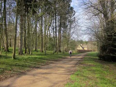
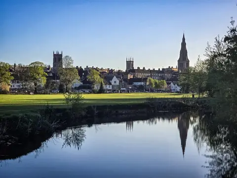
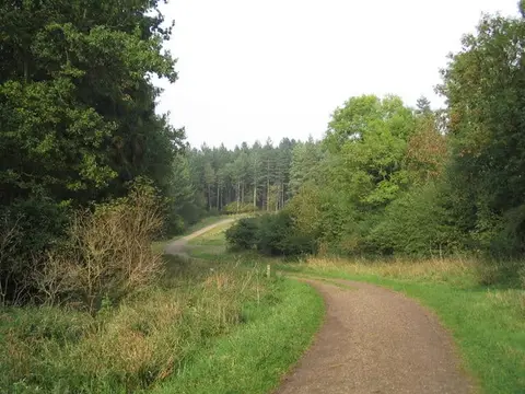
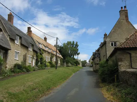
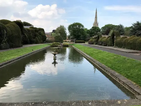
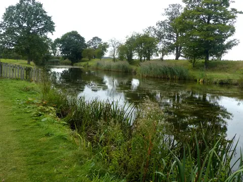
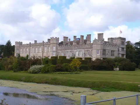
Also nearbygood places nearby, nearest first
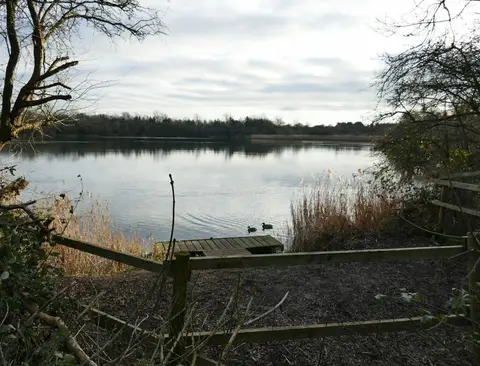
Everything else within 25 km (57) — reserves, earthworks & places to check before travelling
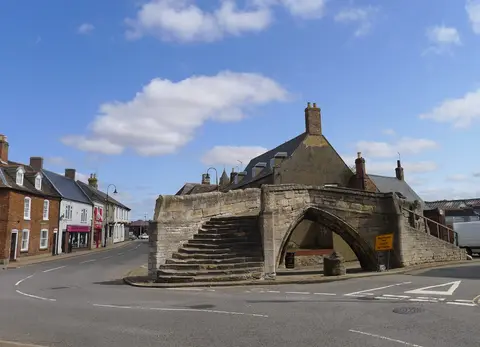
- Crowland AbbeyAbbey12.8 km NE
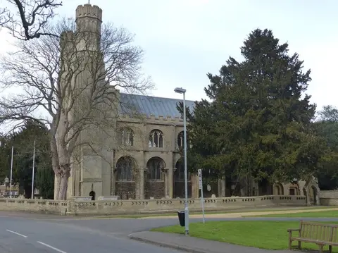
- St Andrew, CotterstockChurch16.1 km SW
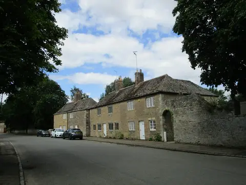
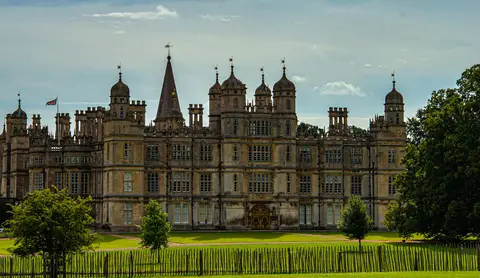
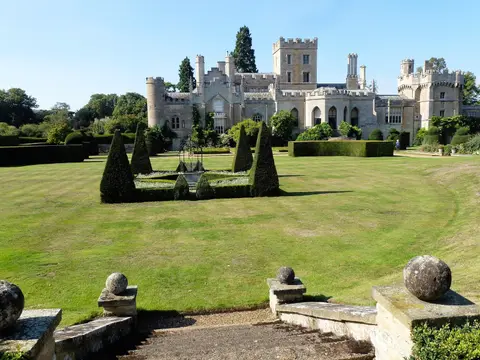
- ApethorpeVillage16.6 km W
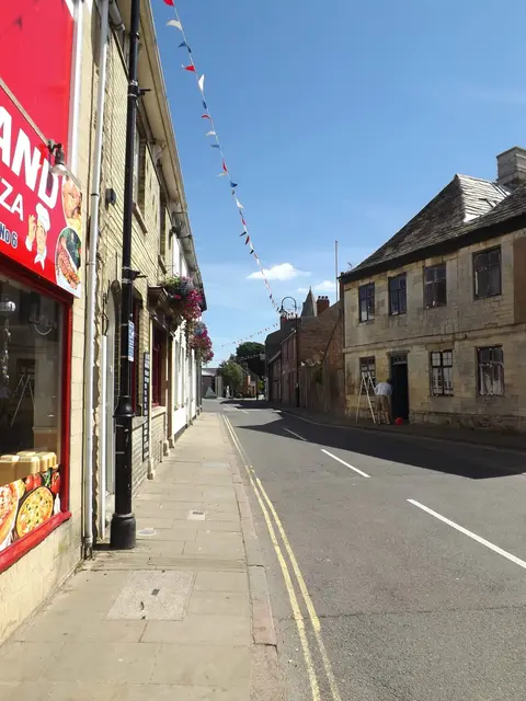
- The George of StamfordPub17.7 km NW
- Touthill and site of castle baileySite of a former castleaccess unclear0.6 km E
- Nene WashesSSSI1.4 km SE
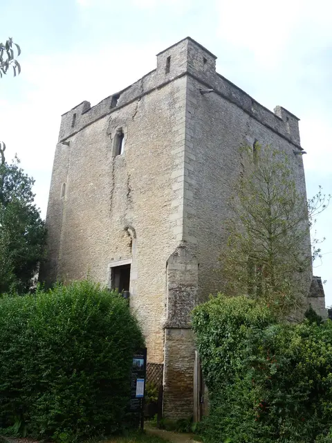
- Longthorpe Roman fortRoman archaeological siteaccess unclear3 km W
- Orton PitSSSIaccess unclear3.3 km S
- Milton HallHouse & gardenaccess unclear4 km W
- Dogsthorpe Star PitSSSIaccess unclear4.1 km NE
- Horsey hillfortHillfortaccess unclear4.4 km SE
- Robin Hood and Little John stonesStanding stoneaccess unclear4.9 km W
- Castor Flood MeadowsSSSI6.3 km W
- Eye Gravel PitSSSIaccess unclear6.5 km NE
- Holme FenNational Nature Reserve8.5 km S
- Deeping Gravel PitsSSSIaccess unclear9 km N
- Bassenhally PitSSSIaccess unclear9.6 km E
- Sutton Heath and BogSSSIaccess unclear9.7 km W
- Torpel Manor (or castle), AshtonCastleaccess unclear10.4 km NW
- Southorpe PaddockSSSI10.7 km W
- Southorpe MeadowSSSIaccess unclear11.3 km NW
- Maxey CastleCastleaccess unclear11.7 km NW
- Wansford PastureSSSIaccess unclear11.7 km W
- Old Sulehay ForestSSSIaccess unclear12.1 km W
- Southorpe RoughsSSSIaccess unclear12.1 km NW
- Barnack Hills and HolesNational Nature Reserve12.3 km NW
- West Abbot's and Lound WoodsSSSIaccess unclear12.4 km W
- Bedford PurlieusNational Nature Reserve13.5 km W
- Woodwalton FenNational Nature Reserve13.5 km S
- Cross DrainSSSIaccess unclear13.7 km N
- Fotheringhay motteEarthworks of a former castleaccess unclear13.8 km SW
- Fotheringhay PriorySite of a former prioryaccess unclear14 km W
- The Falcon Inn (Fotheringhay)Pub14 km W
- Bruce's Castle (Cambridgeshire)Castleaccess unclear14.1 km S
- Langtoft Gravel PitsSSSIaccess unclear14.1 km NW
- Ashton WoldSSSIaccess unclear14.3 km SW
- Bonemills HollowSSSIaccess unclear14.8 km W
- Whitewater ValleySSSIaccess unclear14.9 km W
- Collyweston Great WoodNational Nature Reserve16.1 km W
- Castle Hill motte (Cambridgeshire)Castleaccess unclear16.1 km S
- Sawtry AbbeyAbbeyaccess unclear16.1 km S
- Racecourse RoadCounty topaccess unclear16.2 km W
- Aversley WoodSSSIaccess unclear16.4 km S
- CotterstockVillage16.7 km SW
- Apethorpe PalaceHouse & gardenaccess unclear16.8 km W
- RamseyVillage16.9 km SE
- Upwood MeadowsNational Nature Reserve17 km S
- Ramsey AbbeyAbbeyaccess unclear17.1 km SE
- Adventurers' LandSSSIaccess unclear17.1 km E
- Ruins and site of St Leonard's PriorySite of a former prioryaccess unclear17.2 km NW
- King's Cliffe BanksSSSIaccess unclear17.2 km W
- Booths Hill, Ramsey AbbeyAbbeyaccess unclear17.3 km SE
- Woodwalton MarshSSSIaccess unclear17.4 km S
- Greyfriars PriorySite of a former prioryaccess unclear17.6 km NW
- Racecourse Farm FieldsSSSIaccess unclear17.7 km W
- The Chequered SkipperPub17.7 km SW
- St Michael's Priory (Lincolnshire)Prioryaccess unclear17.8 km NW
Ordered by how far each place is worth travelling for, then by distance. Distances are straight-line to the nearest edge of each place — paths wind, of course.