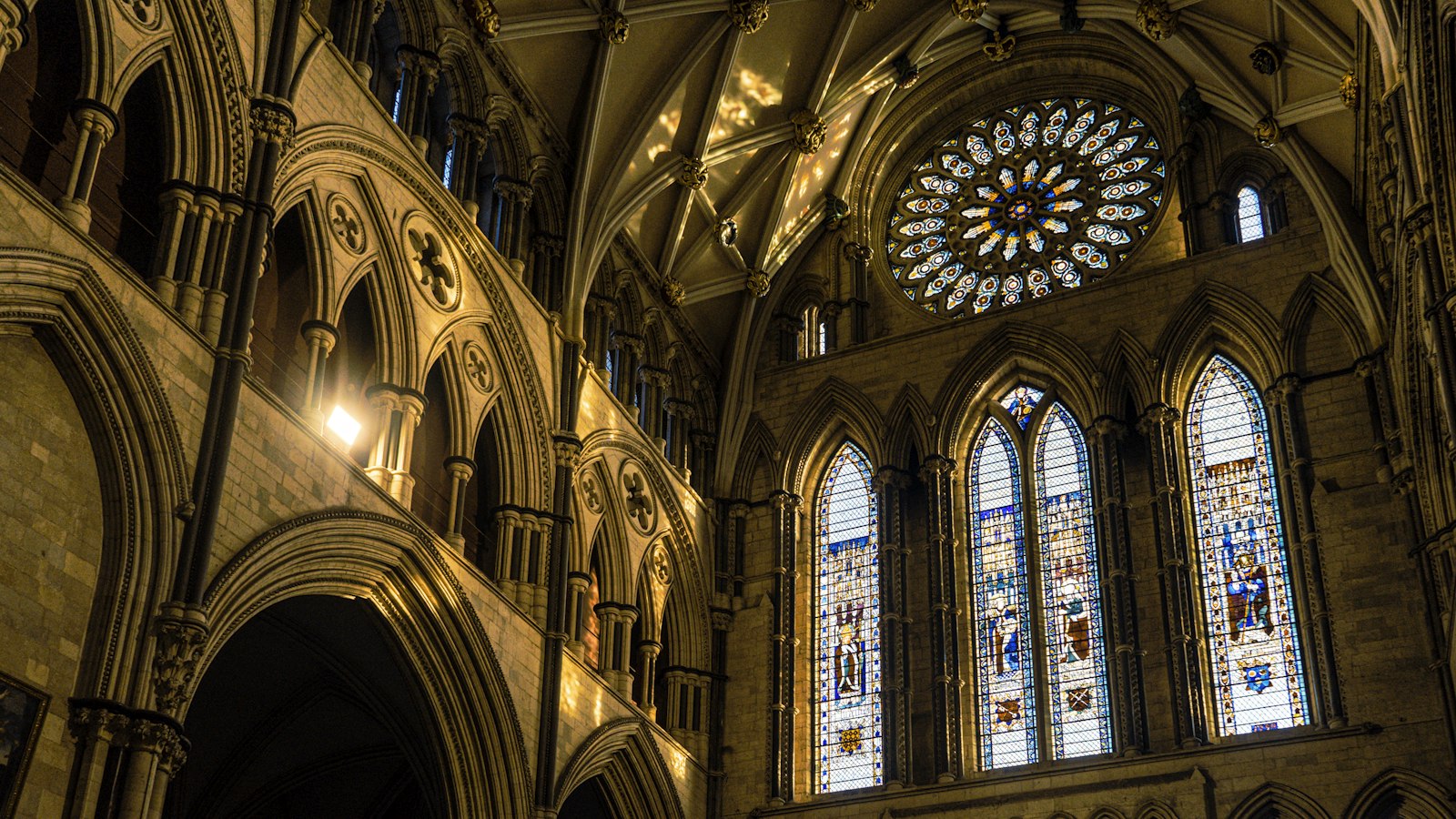
Photo Jeffrey Zhang / Unsplash
Places to explore near York
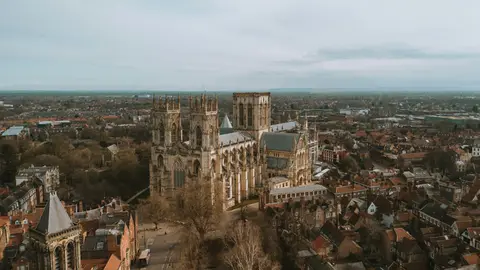
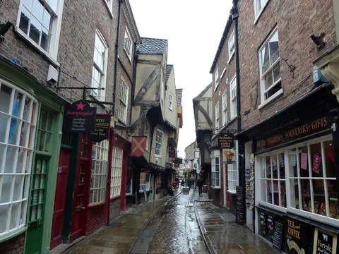
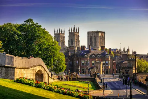
Founded by the Romans as Eboracum and refounded by the Vikings as Jorvik, York layers its history in plain sight — York Minster, the encircling city walls, and the leaning timber frames of the Shambles. It stands where the Ouse and the Foss meet on the flat Vale of York, with the chalk Wolds to the east and the Yorkshire Dales and North York Moors within an hour's drive. A compact, walkable base for the castles, abbeys and great houses of the vale.
82 places within 25 km — the standouts first, nearest first within each group. 5 are national icons.
Worth the tripnational icons and local highlights within reach
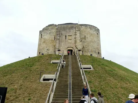
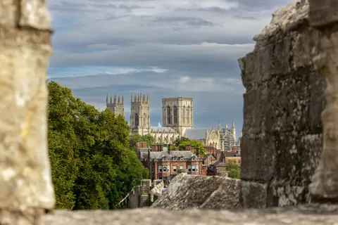
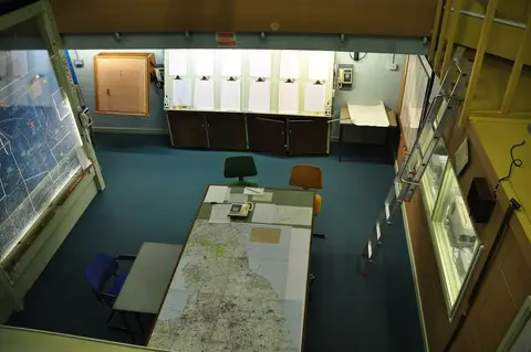
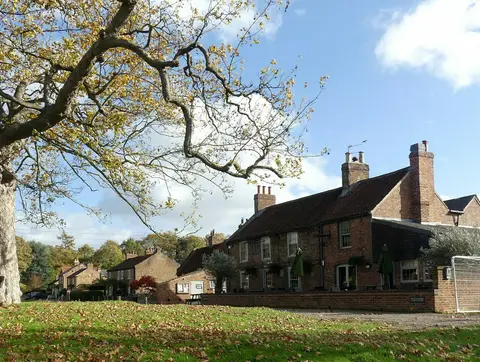
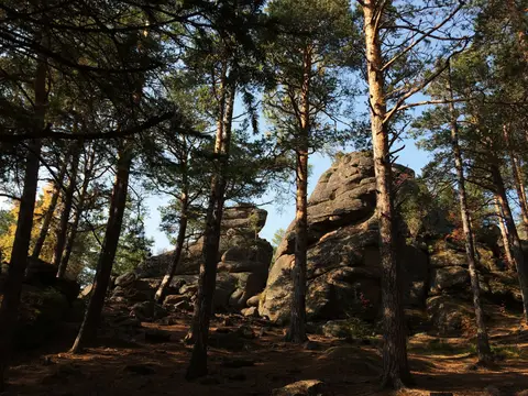
Also nearbygood places nearby, nearest first
Everything else within 25 km (61) — reserves, earthworks & places to check before travelling
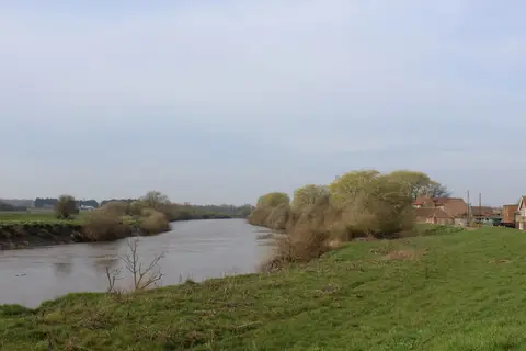
- River DerwentRiver9.7 km E
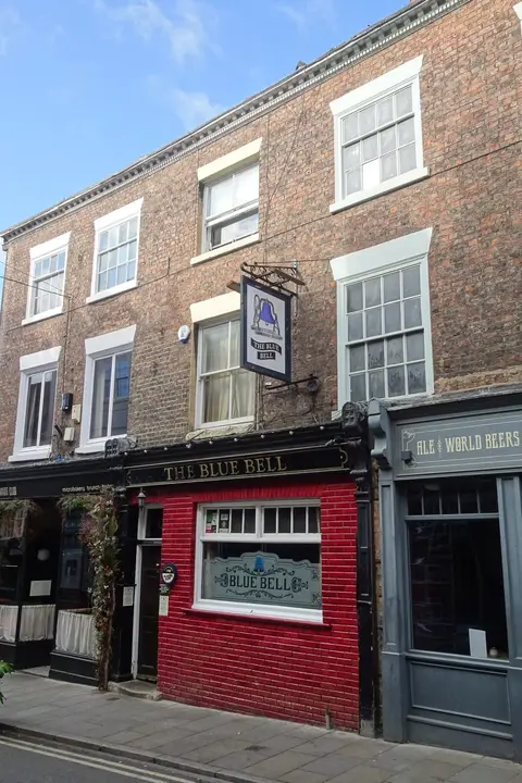
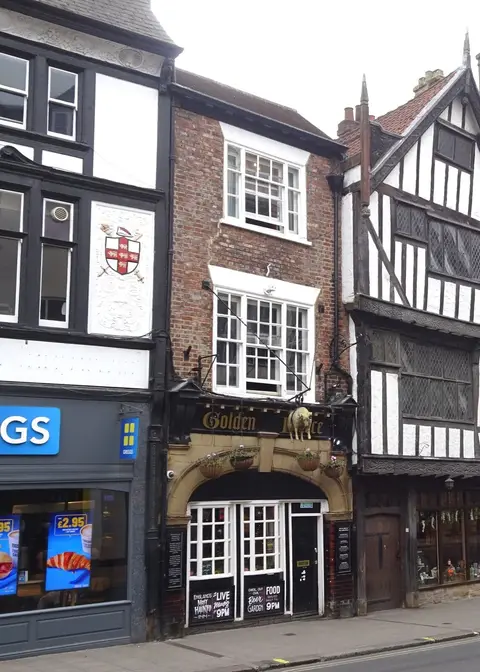
- The Three CupsPub11.1 km E
- Pocklington CanalCanal12.8 km SE
- Bishop WiltonVillage17.4 km E
- Kirkham PrioryPriory19.1 km NE
- Selby CanalCanal19.7 km S
- St Edith's Church, Bishop WiltonChurch19.7 km E
- PocklingtonVillage20.1 km E
- WetherbyVillage20.1 km W
- South angle tower of Roman fortressRoman archaeological siteaccess unclear0.1 km W
- York City WallsCathedralaccess unclear0.2 km SW
- St Mary's Abbey (North Yorkshire)Abbeyaccess unclear0.5 km NW
- St Mary's Abbey precinct walls, YorkAbbeyaccess unclear0.6 km NW
- Grounds associated with the RetreatHouse & gardenaccess unclear1.6 km SE
- Clifton Ings And Rawcliffe MeadowsSSSI1.9 km NW
- Fulford IngsSSSIaccess unclear2.3 km S
- Rawcliffe Country ParkCountry park3.5 km NW
- Naburn MarshSSSIaccess unclear3.7 km S
- Askham BogSSSIaccess unclear4.2 km SW
- Heslington TillmireSSSI5.1 km SE
- Church IngsSSSIaccess unclear6.1 km S
- Pool Bridge Farm SaunasSauna6.6 km SE
- Strensall CommonSSSI7.3 km NE
- Stock HillCounty topaccess unclear7.5 km SW
- Acaster South IngsSSSIaccess unclear7.5 km S
- Lower Derwent ValleyNational Nature Reserve10.1 km E
- Newton MaskSSSI10.1 km E
- Giant's Hill motteEarthworks of a former castleaccess unclear11.1 km E
- Battle of Stamford BridgeBattlefield12 km E
- Battle of Marston MoorBattlefield12.1 km W
- Melbourne and Thornton IngsSSSI13.3 km SE
- Bolton Percy IngsSSSIaccess unclear13.5 km SW
- Tadcaster MereSSSIaccess unclear13.5 km SW
- Aldby ParkHouse & gardenaccess unclear14.3 km NE
- Skipwith CommonNational Nature Reserve14.5 km S
- Cawood CastleCastleaccess unclear14.5 km S
- Tadcaster motteEarthworks of a former castleaccess unclear14.5 km SW
- Kirkby WharfeSSSIaccess unclear14.6 km SW
- Sheriff Hutton ParkHouse & gardenaccess unclear14.8 km NE
- Aubert IngsSSSI14.9 km W
- Sheriff Hutton CastleCastleaccess unclear15 km N
- Moxby Priory including millNunneryaccess unclear15.1 km N
- Sheriff Hutton RingworkEarthworks of a former castleaccess unclear15.3 km N
- Kyme CastleCastleaccess unclear15.4 km SW
- Ellerton Priory (East Riding)Site of a former priory15.4 km SE
- Allerthorpe CommonSSSI16.1 km E
- Stutton IngsSSSIaccess unclear16.2 km SW
- Bishop Wilton Poor LandSSSIaccess unclear17.7 km E
- Burr Closes, SelbySSSIaccess unclear17.7 km S
- Marton Augustinian priorySite of a former prioryaccess unclear17.8 km N
- Battle of TowtonBattlefield18.4 km SW
- Kirkham Park & RiversideSSSIaccess unclear19.1 km NE
- White Carr MeadowSSSIaccess unclear19.1 km E
- Crayke CastleEarthworks of a former castleaccess unclear19.4 km N
- Upper Dunsforth CarrsSSSIaccess unclear19.4 km NW
- Saxton CastleEarthworks of a former castleaccess unclear19.7 km SW
- Dalby Bush FenSSSIaccess unclear19.8 km N
- Breighton MeadowsSSSI19.9 km SE
- Mount Pleasant QuarrySSSIaccess unclear19.9 km NE
- Wharfe at Wilderness CarparkSwimming spot20.2 km W
- Acklam MotteEarthworks of a former castleaccess unclear20.3 km NE
Ordered by how far each place is worth travelling for, then by distance. Distances are straight-line to the nearest edge of each place — paths wind, of course.