Places to explore near Warrington
An old crossing point on the Mersey midway between Liverpool and Manchester, Warrington made wire, soap and steel, and the Manchester Ship Canal still cuts across its southern edge. The mossland and peat bog of Risley Moss survive to the east, a fragment of the wetlands that once covered the plain. West rises the wooded sandstone ridge of Cheshire, from Helsby Hill and Mersey View at Frodsham to the pines of Delamere Forest.
90 places within 25 km — the standouts first, nearest first within each group. 1 is a national icon.
Worth the tripnational icons and local highlights within reach
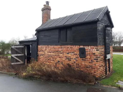
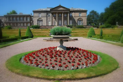
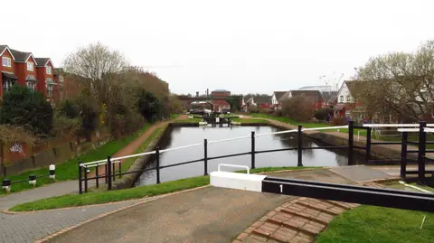
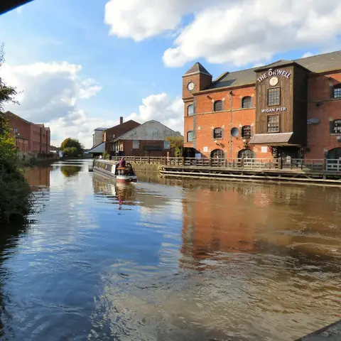
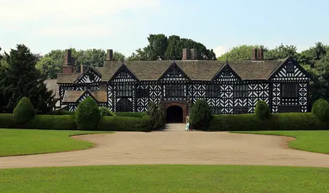
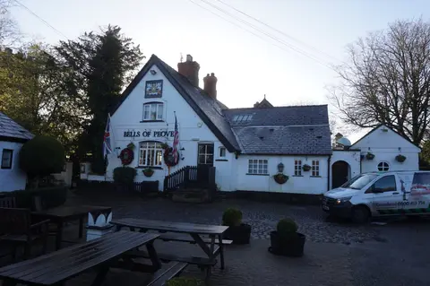
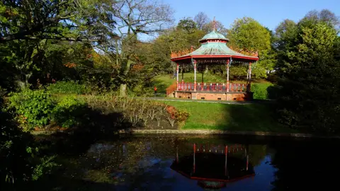
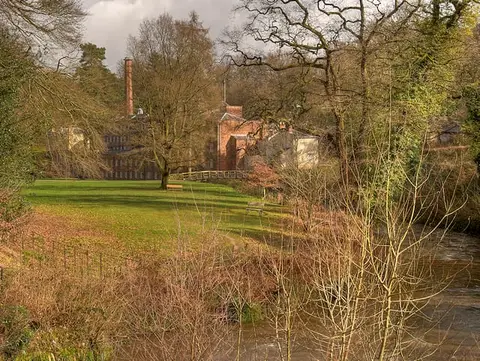
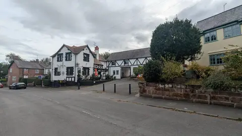
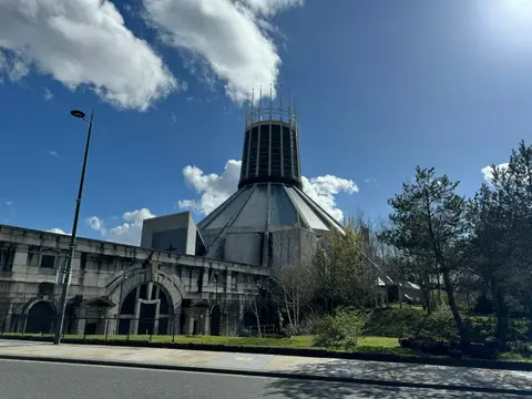
Also nearbygood places nearby, nearest first
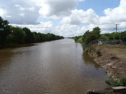
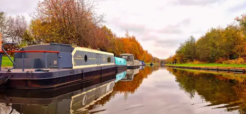

Everything else within 25 km (60) — reserves, earthworks & places to check before travelling
- Bluebell Cottage GardensGarden10.5 km S
- Pennington Flash Country ParkCountry park10.7 km N
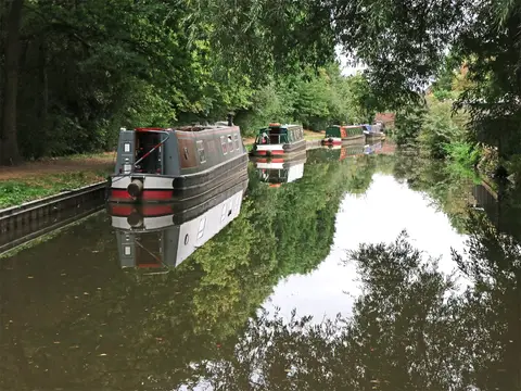
- River WeaverRiver navigation11.3 km S
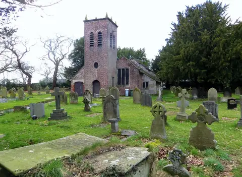
- St Mary and All SaintsChurch12.3 km SE
- The Swan with Two NicksPub12.5 km E
- Norton Priory Walled GardenGarden13.4 km S
- Sandstone TrailLong-distance path13.5 km SW
- FrodshamVillage13.8 km SW
- Stadt Moers Country ParkCountry park13.9 km W
- RostherneVillage14.4 km E
- St Mary's Church (Rostherne)Church14.5 km E
- Helsby HillCountry estate17.1 km SW
- Stonyford Cottage GardensGarden17.5 km S
- The Lambing ShedFarm & farm shop17.8 km SE
- Woolston EyesSSSIaccess unclear2.9 km E
- Appleton ParkCounty topaccess unclear4.2 km S
- Battle of WinwickBattlefield5.3 km N
- Roman road, Appleton to StrettonRoman archaeological siteaccess unclear5.6 km SE
- Risley, Holcroft and Chat MossNational Nature Reserve6.6 km NE
- Risley MossSSSI6.6 km NE
- Highfield MossSSSI7.1 km N
- Red Brow CuttingSSSIaccess unclear7.6 km SW
- Castle Hill motte (Merseyside)Castleaccess unclear7.9 km N
- Rixton Clay PitsSSSIaccess unclear8 km E
- Halton CastleCastleaccess unclear9.2 km SW
- Holcroft MossSSSI9.2 km NE
- Flood Brook CloughSSSIaccess unclear10.5 km SW
- Mersey EstuarySSSI10.5 km SW
- The Flashes of Wigan and LeighNational Nature Reserve10.7 km N
- Stanley Bank MeadowSSSI11 km NW
- Abram FlashesSSSI11.4 km N
- Hatton's Hey Wood and Bank RoughSSSIaccess unclear11.5 km S
- Astley & Bedford MossesSSSI12.1 km NE
- The George & Dragon (Great Budworth)Pub12.3 km SE
- Warburton's Wood and Well WoodSSSIaccess unclear12.8 km SW
- Beechmill Wood and PastureSSSIaccess unclear13 km SW
- Dunham ParkSSSIaccess unclear13 km E
- Frodsham Railway and Road CuttingsSSSIaccess unclear13.1 km SW
- Bradley hill fortPromontory fortaccess unclear13.2 km SW
- Rostherne MereNational Nature Reserve13.6 km E
- Brookheys CovertSSSIaccess unclear13.6 km E
- Bryn Marsh & Ince MossSSSI13.9 km N
- The Mere, MereSSSIaccess unclear14.1 km SE
- Witton Lime BedsSSSI14.2 km SE
- Watch Hill motteEarthworks of a former castleaccess unclear14.5 km E
- Dunsdale HollowSSSIaccess unclear14.9 km SW
- Billinge HillMarilynaccess unclear15.3 km NW
- St Mary's (Bowdon)County topaccess unclear15.5 km E
- Woodhouse Hill CampHillfortaccess unclear15.7 km SW
- Tabley MereSSSIaccess unclear15.8 km SE
- Tatton MeresSSSI15.9 km SE
- Knowsley ParkCounty topaccess unclear16 km W
- Billinge Hill (N Top)County topaccess unclear16.1 km NW
- Kingsley CastleCastleaccess unclear16.4 km SW
- Flaxmere MossSSSI16.5 km S
- Plumley Lime BedsSSSIaccess unclear16.5 km SE
- Harthill Bank motte and baileyEarthworks of a former castleaccess unclear16.8 km S
- Hatch MereSSSI16.8 km S
- Helsby Hill promontory fortPromontory fortaccess unclear17.1 km SW
- Pettypool Brook ValleySSSI17.7 km S
Ordered by how far each place is worth travelling for, then by distance. Distances are straight-line to the nearest edge of each place — paths wind, of course.