Cheshire's broad salt-trade navigation, running twenty miles from Winsford down to the Manchester Ship Canal
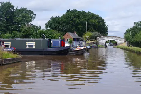
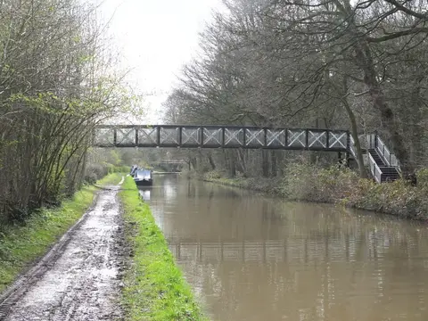
The Weaver Navigation is a wide, deep river rather than a narrow canal, built to carry salt out of the Cheshire mines. It runs about twenty miles from Winsford, through Northwich, down to Weston Point on the Manchester Ship Canal near Frodsham, dropping to the level of the estuary through five large locks. Those locks are built to a generous size — the navigation was rebuilt in the late 19th century to take small coasters and 1,000-tonne barges — so it feels open and spacious, and it is one of the quieter cruising rivers in the North West.
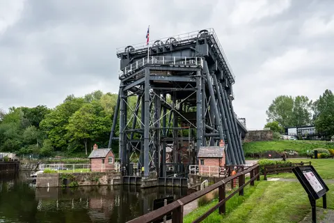
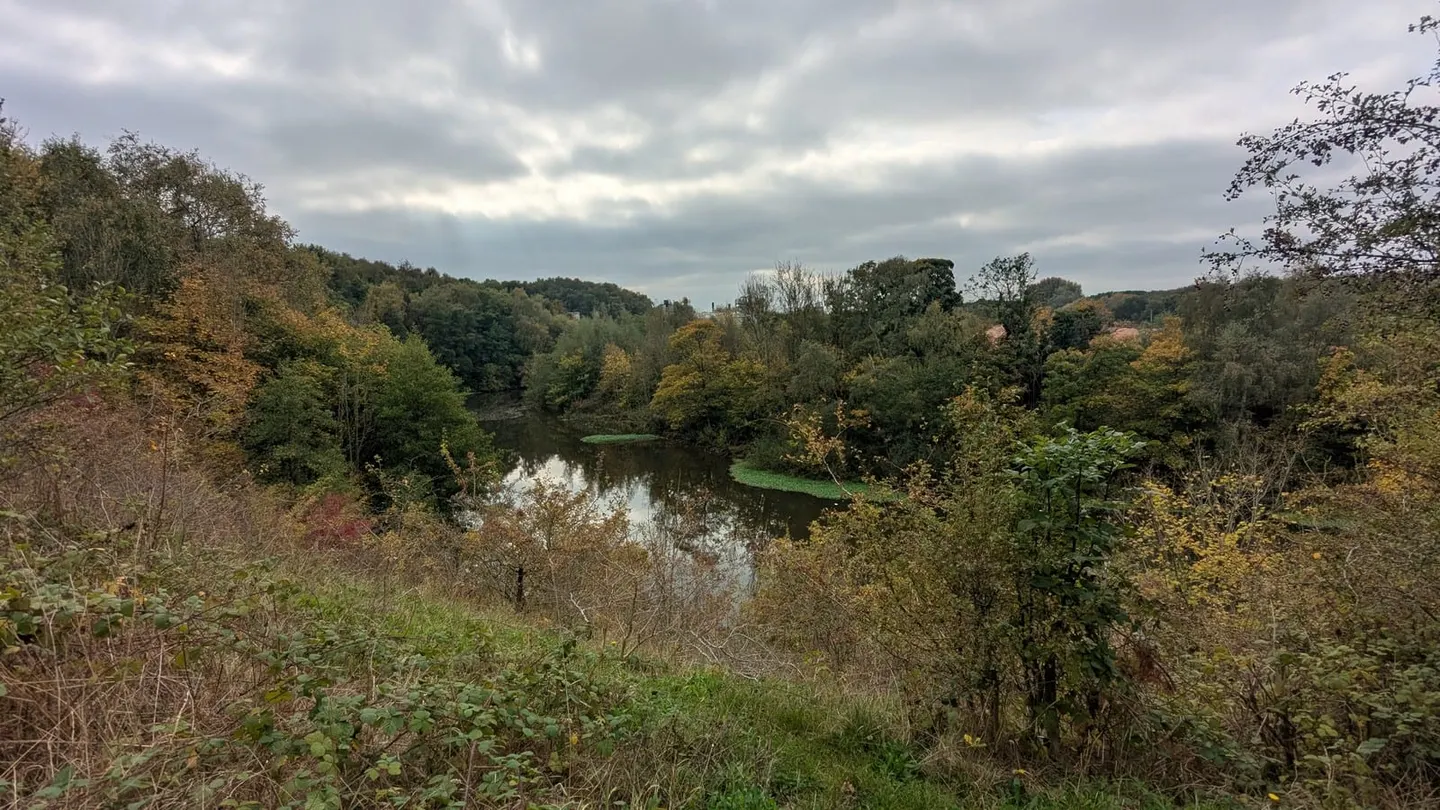
Its most famous structure is the Anderton Boat Lift near Northwich, the “cathedral of the canals”, which raises boats fifty feet in water-filled tanks from the Weaver up to the Trent and Mersey Canal running along the hillside above. Built in 1875 and restored in 2002, it is the main link between the river and the narrow-canal network. Elsewhere the Weaver winds through low, wooded Cheshire country, past the salt town of Northwich and the flashes — lakes formed where old brine workings collapsed and flooded.
The river was made navigable under an Act of 1721 and completed in 1732, opening up the salt fields to the ports on the Mersey. For two centuries it carried salt, and later chemicals, out of Cheshire in enormous quantities, which is why it was engineered to such a large scale.
Today it is used mostly for pleasure boating and angling. Winsford, at the top, is the practical head of navigation; below Frodsham the river runs out through Weston Point to meet the ship canal and the tideway.