Places to explore near Kingston upon Hull
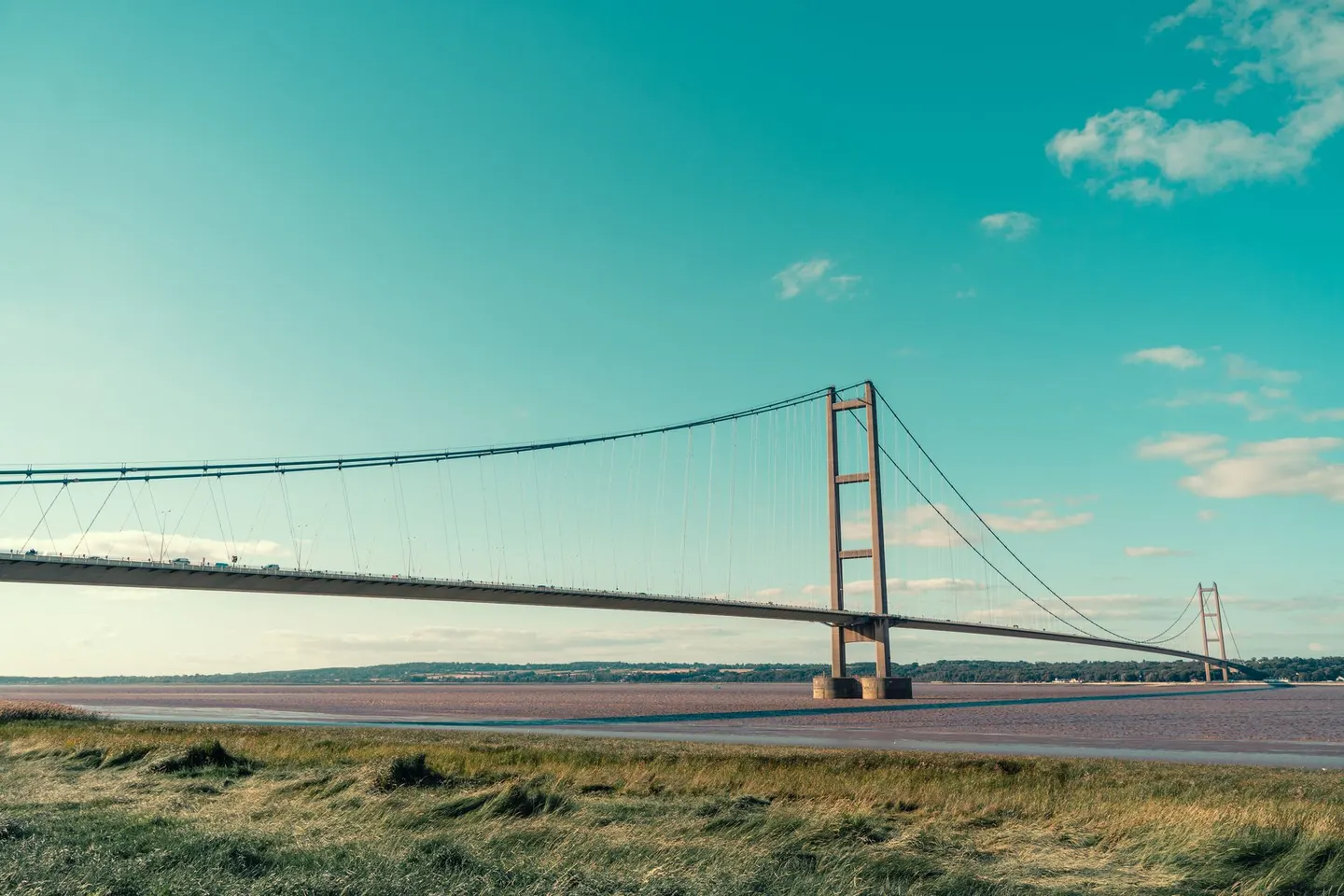
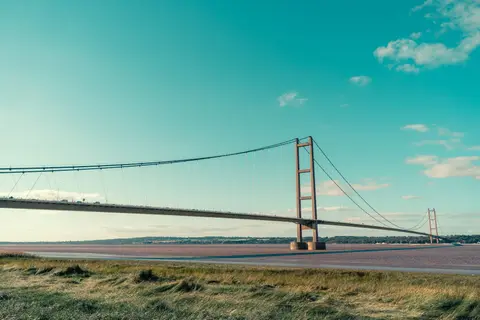
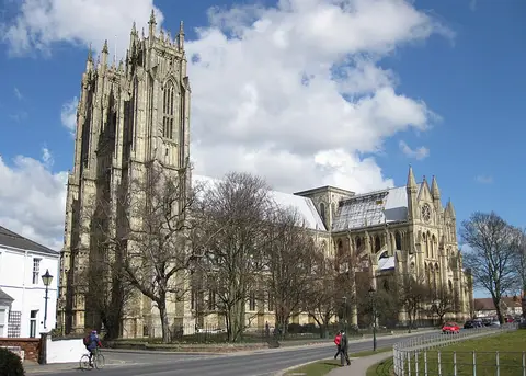
Hull made its fortune on the Humber, a port for whaling, fishing and trade at the mouth of the river, and the old town still keeps its cobbled lanes and the house where William Wilberforce was born. The estuary defines what lies around it. The Humber Bridge sweeps across to the Lincolnshire bank, the long sand-spit of Spurn curls into the sea to the east, and the chalk of the Yorkshire Wolds Way rolls north. The Gothic Beverley Minster stands a short way inland.
82 places within 25 km — the standouts first, nearest first within each group. 2 are national icons.
Worth the tripnational icons and local highlights within reach
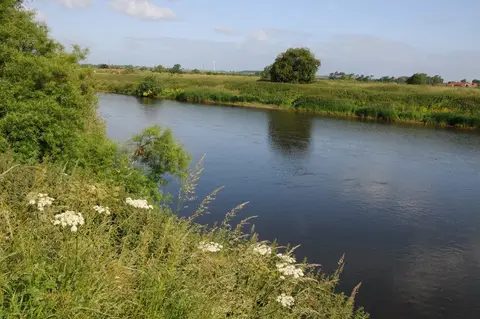
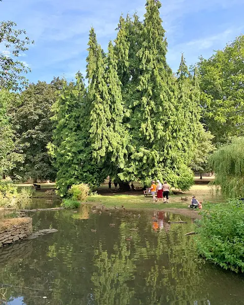
Also nearbygood places nearby, nearest first
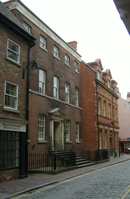
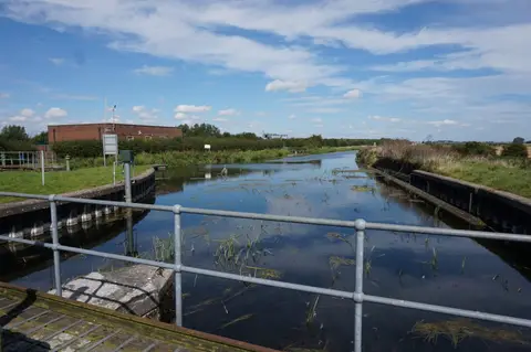

Everything else within 25 km (64) — reserves, earthworks & places to check before travelling
- St Peter's Church, Barton-upon-HumberChurch9.4 km SW
- Barton-upon-HumberVillage10.2 km SW
- Thornton AbbeyAbbey10.3 km S
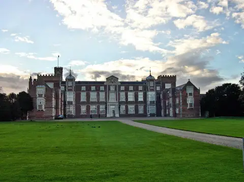
- Burton Constable Country ParkCountry park11.1 km NE
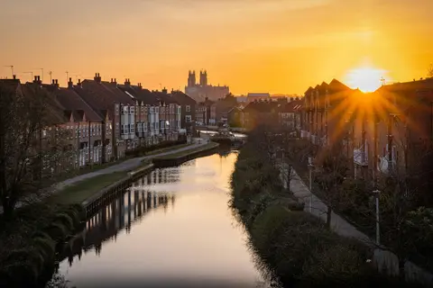
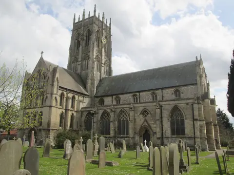
- St Mary's Church, BeverleyChurch12.8 km NW
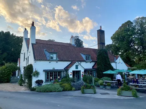
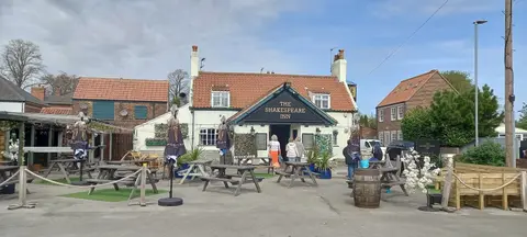
- The Dog and DuckPub13 km NW
- River AncholmeRiver navigation14.2 km SW
- Staal SmokehouseFarm & farm shop15.8 km NW
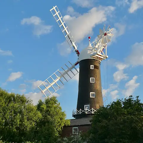
- Wrawby PostmillWindmill21.7 km S
- PatringtonVillage22.5 km E
- St Patrick's Church, PatringtonChurch22.6 km E
- AlkboroughVillage22.7 km W
- River Ouse (Yorkshire)River navigation23.5 km W
- Humber EstuarySSSI0.6 km SE
- Hull CastleCastleaccess unclear0.8 km SE
- Haltemprice Augustinian prioryPrioryaccess unclear5.9 km W
- Swine CastleCastleaccess unclear6.1 km NE
- South FieldCounty topaccess unclear6.9 km N
- Swan Hill motteEarthworks of a former castleaccess unclear6.9 km NE
- Baynard CastleCastleaccess unclear7.1 km NW
- The Castles motte and baileyCastleaccess unclear7.2 km SW
- Swine Cistercian nunnerySite of a former nunneryaccess unclear7.7 km NE
- Far IngsNational Nature Reserve9.4 km SW
- Meaux Cistercian AbbeySite of a former abbeyaccess unclear10.5 km N
- North Killingholme Haven PitsSSSIaccess unclear11.1 km SE
- Melton Bottom Chalk PitSSSIaccess unclear12.1 km W
- Burstwick CastleCastleaccess unclear12.2 km E
- Holy Trinity Preceptory, BeverleySite of a former preceptoryaccess unclear12.3 km NW
- South Ferriby Chalk PitSSSIaccess unclear12.4 km SW
- The White Horse Inn (Nellie's)Pub12.7 km NW
- Burton BushesSSSI13.4 km NW
- Kelsey Hill Gravel PitsSSSIaccess unclear14 km E
- Brantingham DaleSSSIaccess unclear14.6 km W
- Lambwath MeadowsSSSIaccess unclear14.9 km NE
- Horkstow Roman villaRoman archaeological siteaccess unclear15 km SW
- Saxby WoldCounty topaccess unclear15.4 km SW
- Pulfin BogSSSIaccess unclear15.7 km N
- Leven CanalSSSIaccess unclear16 km N
- Yarborough CampHillfortaccess unclear17 km S
- Kirmington PitsSSSIaccess unclear17 km S
- Roos BogSSSIaccess unclear17.4 km E
- Drewton Lane PitsSSSIaccess unclear18.1 km W
- Everthorpe QuarrySSSIaccess unclear18.4 km W
- Nun Cotham PriorySite of a former nunneryaccess unclear18.6 km S
- WyedaleSSSI18.6 km W
- Hornsea MereSSSIaccess unclear18.9 km NE
- Wrawby MoorSSSIaccess unclear18.9 km S
- Tophill LowSSSIaccess unclear19 km N
- Bryan Mills FieldSSSIaccess unclear19.1 km NW
- Roos CastleCastleaccess unclear19.2 km E
- Newbald BecksiesSSSI19.6 km NW
- Hall Garth motteEarthworks of a former castleaccess unclear20.3 km NW
- Brocklesby ParkHouse & gardenaccess unclear20.9 km S
- Thornholme Augustinian prioryPrioryaccess unclear21 km SW
- Hotham MeadowSSSIaccess unclear21 km W
- Whitby Wellbeing, HornseaSauna21.5 km NE
- Dalton HallHouse & gardenaccess unclear21.6 km NW
- HornseaSwimming spot22.1 km NE
- East Field crop mark site centredHengeaccess unclear22.3 km NE
- Risby WarrenSSSI22.3 km SW
- Watton Gilbertine priorySite of a former prioryaccess unclear22.4 km N
- Broughton Far WoodSSSIaccess unclear22.6 km SW
- Broughton Alder WoodSSSIaccess unclear23.3 km SW
- Kiplingcotes Chalk PitSSSIaccess unclear23.3 km NW
Ordered by how far each place is worth travelling for, then by distance. Distances are straight-line to the nearest edge of each place — paths wind, of course.