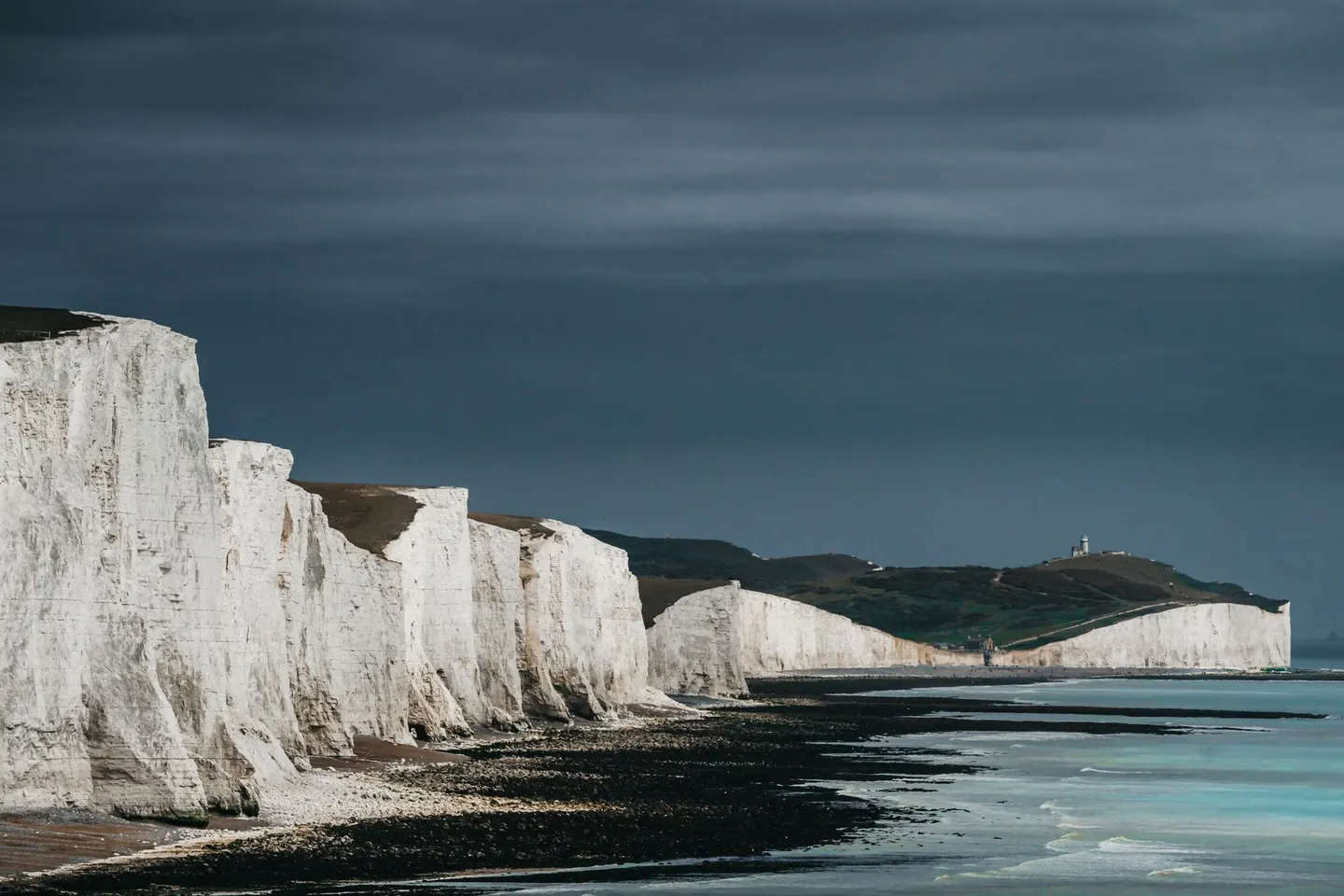
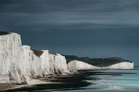
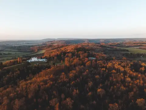
South DownsPhoto Andras Stefuca / Pexels
Places to explore near Basingstoke
Grown from a Hampshire market town into a busy commercial centre ringed by chalk downland, Basingstoke sits where the clay of the Thames basin meets the downs. The ruins of Basing House, slighted in the Civil War, lie just east, and the Basingstoke Canal begins its old course towards the Surrey heaths. North rise the downs of Watership Down, the rabbit country of Richard Adams' novel, while west the chalk streams gather into the River Test, followed south by the Test Way.
97 places within 25 km — the standouts first, nearest first within each group. 1 is a national icon.
Worth the tripnational icons and local highlights within reach
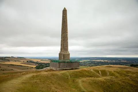
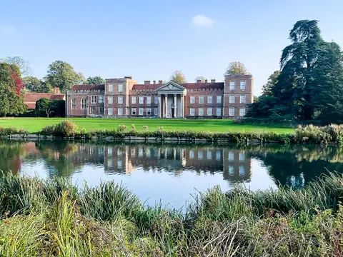
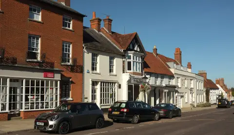
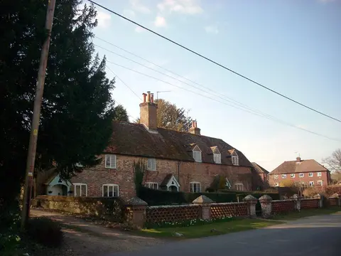
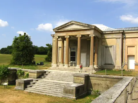
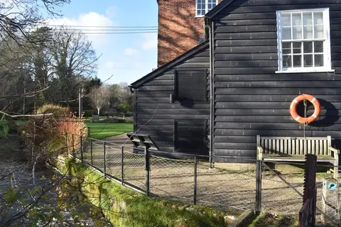
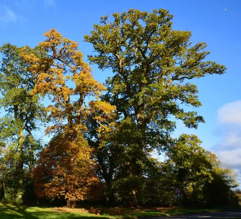
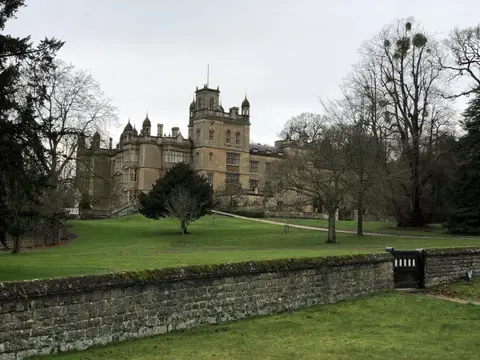
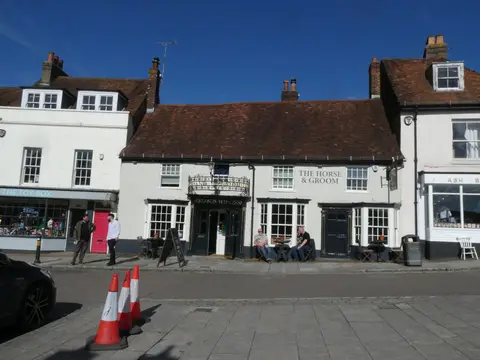
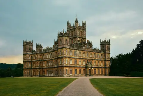
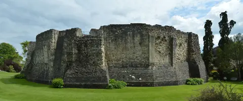
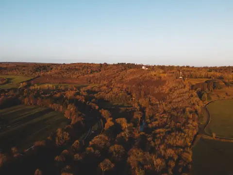
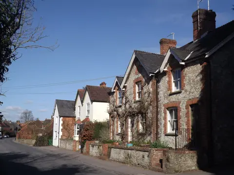
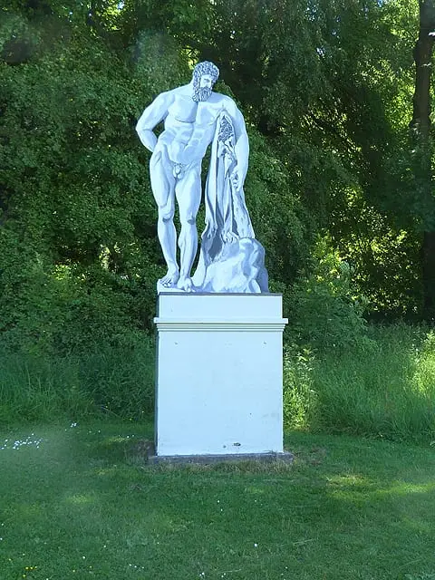
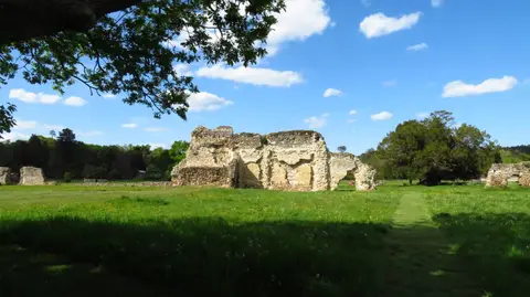
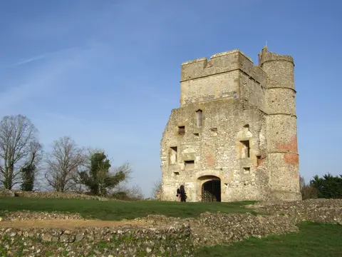
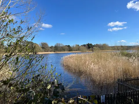
Also nearbygood places nearby, nearest first
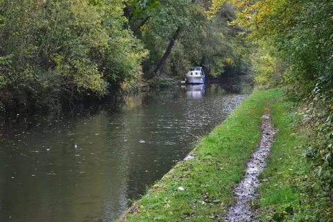
Everything else within 25 km (61) — reserves, earthworks & places to check before travelling
- The Wellington ArmsPub9.7 km NW
- St Nicholas, SteventonChurch10 km SW
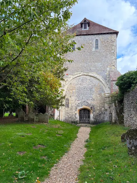
- St Mary the Virgin, SilchesterChurch10.1 km N
- Silchester AmphitheatreAmphitheatre10.4 km N
- Hattingley ValleyVineyard11 km S
- The Purefoy ArmsPub11.1 km S
- West Green HouseHouse & garden11.4 km E
- River TestRiver11.5 km W
- King Henry's Hunting LodgeAncient site11.9 km E
- The White HartPub12.4 km W
- Hartley WintneyVillage13.4 km E
- River KennetRiver14.5 km N
- Bombay Sapphire DistilleryDistillery14.9 km W
- All Saints ChurchChurch16.2 km E
- The GrangeVineyard17.7 km SW
- Hackwood ParkHouse & gardenaccess unclear2.9 km SE
- Oliver's BatteryEarthworks of a former castleaccess unclear3.3 km E
- Mapledurwell FenSSSIaccess unclear4 km E
- Woodgarston ringEarthworks of a former castleaccess unclear6 km NW
- Greywell Tunnel ( Basingstoke Canal )SSSIaccess unclear7.6 km E
- Tylney HallHouse & gardenaccess unclear7.9 km E
- Greywell FenSSSIaccess unclear7.9 km E
- Odiham CastleCastleaccess unclear8.8 km E
- Ron Ward's Meadow with Tadley PasturesSSSIaccess unclear8.9 km N
- Moundsmere ManorHouse & gardenaccess unclear9.1 km S
- The Mill HousePub9.4 km E
- Calleva Atrebatum, SilchesterRoman archaeological site10.2 km N
- The Leather BottlePub10.6 km E
- The FrithHillfortaccess unclear10.9 km N
- Odiham CommonSSSI10.9 km E
- Ashford Hill Woods and MeadowsSSSI11 km NW
- Decoy Pit , Pools & WoodsSSSIaccess unclear11 km N
- West's Meadow, AldermastonSSSIaccess unclear11.1 km N
- Ashford HillNational Nature Reserve11.9 km NW
- Wasing Wood PondsSSSIaccess unclear12 km NW
- Hazeley HeathSSSI12.4 km NE
- Stanford End Mill and River LoddonSSSIaccess unclear12.6 km NE
- KingsclereVillage12.7 km NW
- Micheldever Spoil HeapsSSSIaccess unclear13.6 km SW
- Bramshill ParkHouse & gardenaccess unclear14 km NE
- BramshillSSSI14.1 km NE
- Moated Manorial Site at Beaumy's CastleCastleaccess unclear14.3 km NE
- Brimpton PitSSSIaccess unclear14.6 km NW
- Aldermaston Gravel PitsSSSIaccess unclear14.8 km N
- Woolhampton Reed BedSSSIaccess unclear15.3 km N
- Greenham and Crookham CommonsSSSI15.7 km NW
- The Woolpack InnPub15.8 km SW
- Yateley and Hawley CommonsSSSI16.3 km E
- Ladle HillSSSI16.3 km W
- Bere Mill MeadowsSSSIaccess unclear16.4 km W
- St Nicholas, ChawtonChurch16.4 km SE
- Warbrook HouseHouse & gardenaccess unclear16.5 km NE
- Folly FarmHouse & gardenaccess unclear16.6 km N
- Old Copse, BeenhamSSSIaccess unclear16.7 km N
- Castle BottomNational Nature Reserve16.9 km NE
- Oliver's BatteryHillfortaccess unclear16.9 km S
- The Anchor Inn (Lower Froyle)Pub16.9 km SE
- Old Burghclere Lime QuarrySSSIaccess unclear17.2 km W
- Powderham CastleEarthworks of a former castleaccess unclear17.4 km E
- Duncroft Farm PitSSSIaccess unclear17.4 km NW
- Bowdown and Chamberhouse WoodsSSSI17.7 km NW
Ordered by how far each place is worth travelling for, then by distance. Distances are straight-line to the nearest edge of each place — paths wind, of course.