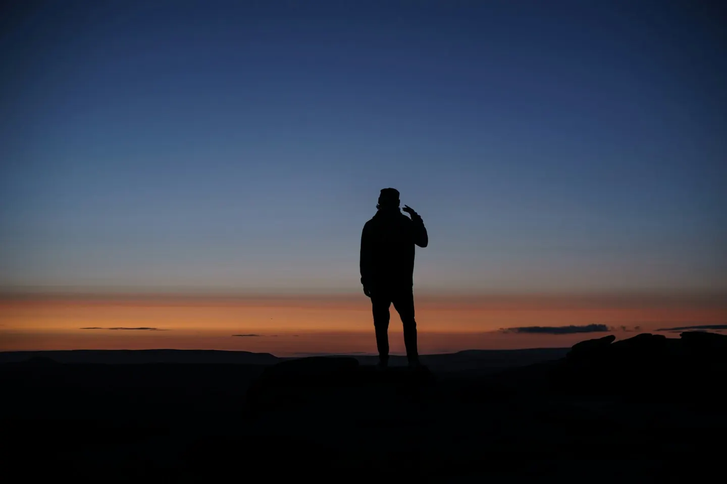
Stanage EdgePhoto Adam Dore / Unsplash
Places to explore near Barnsley
Coal built Barnsley, a South Yorkshire market and mining town whose colliery bands and blunt welcome are part of its character. The Pennine foothills climb westward towards the Peak District. The Georgian mansion and farm park of Cannon Hall sit in parkland to the north-west, and Wentworth Woodhouse, which has the longest façade of any house in England, lies south amid its estate. Closer to Sheffield, the gritstone edge of Wharncliffe Crags looks out over the Don valley.
84 places within 25 km — the standouts first, nearest first within each group. 3 are national icons.
Worth the tripnational icons and local highlights within reach
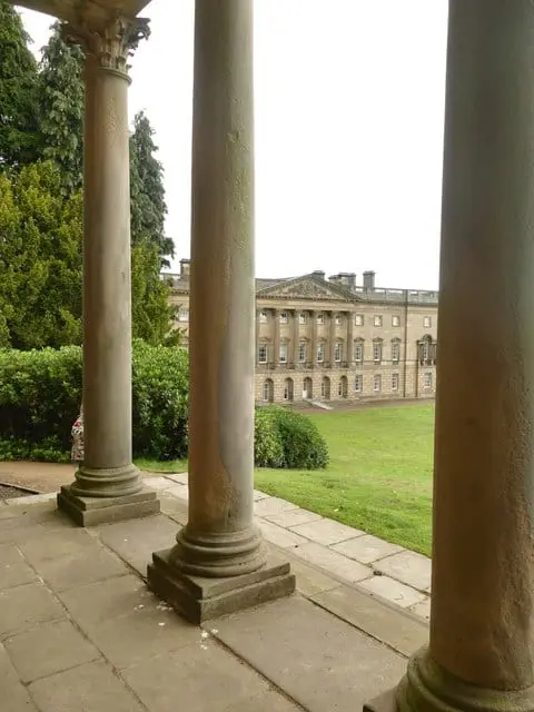
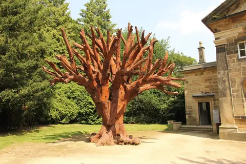
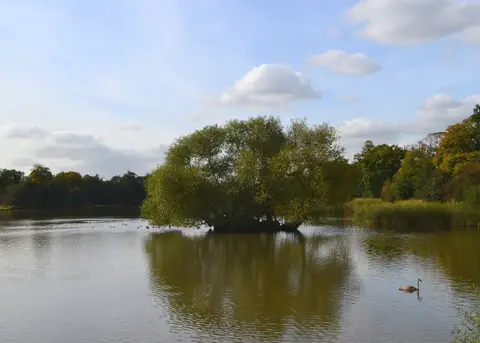

Also nearbygood places nearby, nearest first
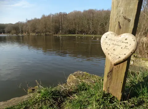
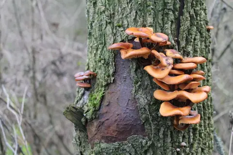
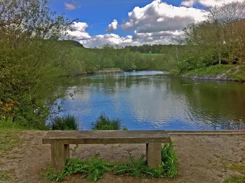
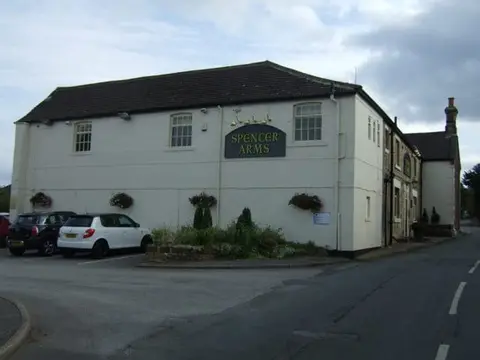
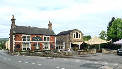
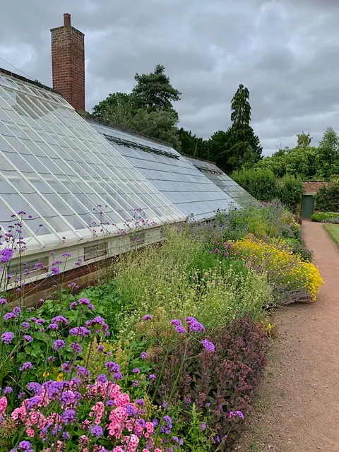
Everything else within 25 km (63) — reserves, earthworks & places to check before travelling
- Bretton Country ParkCountry park7.9 km NW
- Newmillerdam Country ParkCountry park8 km N
- Holy Trinity Old Church, WentworthChurch8.8 km SE
- Anglers Country ParkCountry park9.4 km N
- WentworthVillage9.9 km SE
- Fitzwilliam Country ParkCountry park11.3 km NE
- Phoenix ParkCountry park11.3 km E
- Pugneys Country ParkCountry park11.3 km N
- Walton Country ParkCountry park11.4 km N
- Calder & Hebble NavigationRiver navigation11.6 km N
- The Fountain InnPub12.8 km W
- The Cricketers ArmsPub12.9 km N
- Sheffield & South Yorkshire NavigationRiver navigation13.9 km SE
- Westgate Unitarian ChapelChurch14.6 km N
- Thrybergh Country ParkCountry park16.1 km SE
- Farmer CopleysFarm & farm shop17.1 km NE
- Leeds Country WayLong-distance path18.6 km N
- Dearne Valley WetlandsSSSI2.6 km S
- Cherry Tree InnPub3.2 km SW
- Stairfoot BrickworksSSSIaccess unclear3.7 km E
- Carlton Main BrickworksSSSIaccess unclear6.6 km E
- Pye Flatts MeadowsSSSIaccess unclear7.2 km W
- WortleyVillage7.8 km SW
- Seckar WoodSSSIaccess unclear7.9 km N
- Woolley EdgeCounty topaccess unclear8.2 km NW
- Wharncliffe CragsSSSI9.7 km SW
- Denby Grange Colliery PondsSSSIaccess unclear11.4 km NW
- Sandal CastleEarthworks of a former castleaccess unclear11.9 km N
- Nostell Brickyard QuarrySSSIaccess unclear12 km NE
- Buildings at Nostell Priory FarmPrioryaccess unclear12.5 km NE
- Spring Meadows and Cow Croft MeadowsSSSI12.8 km SW
- Lowe Hill motteEarthworks of a former castleaccess unclear13.6 km N
- Dark PeakSSSI13.6 km SW
- Little Don Stream SectionSSSIaccess unclear13.7 km SW
- The Sun Inn (Flockton)Pub13.8 km NW
- Kimberworth motteEarthworks of a former castleaccess unclear14.1 km SE
- Bilham Sand PitsSSSIaccess unclear14.1 km E
- Canyards HillsSSSI14.2 km SW
- Bradgate BrickworksSSSIaccess unclear14.3 km SE
- Wakefield CathedralChurch14.6 km N
- South Elmsall QuarrySSSIaccess unclear14.7 km E
- Castle Hills motte (South Yorkshire)Castleaccess unclear15.2 km SE
- Wadsley Fossil ForestSSSIaccess unclear15.3 km S
- Wincobank hillfortHillfortaccess unclear15.6 km S
- Bailey Hill motteEarthworks of a former castleaccess unclear15.8 km SW
- Denaby IngsSSSIaccess unclear15.8 km E
- Castle Hill motte, High BradfieldCastleaccess unclear15.9 km SW
- Newland PreceptoryPreceptoryaccess unclear16.3 km N
- Neepsend Railway CuttingSSSIaccess unclear16.5 km S
- Castle Hill (South Yorkshire)Castleaccess unclear17 km E
- Neepsend BrickworksSSSI17.1 km S
- Stannington RuffsSSSIaccess unclear17.4 km S
- Wentbridge IngsSSSIaccess unclear17.5 km NE
- BrockadaleSSSIaccess unclear18 km NE
- Cadeby QuarrySSSIaccess unclear18.1 km E
- Uppergate Farm Woodland SaunaSauna18.5 km W
- Ashfield Brick PitsSSSIaccess unclear18.6 km SE
- Cromwell's Batteries motteEarthworks of a former castleaccess unclear18.8 km E
- Eastern Peak District MoorsSSSI18.8 km SW
- Sprotbrough GorgeSSSIaccess unclear18.8 km E
- Castle Hall Hill motteCastleaccess unclear19.5 km NW
- Cusworth MotteEarthworks of a former castleaccess unclear19.7 km E
- Pontefract CastleEarthworks of a former castleaccess unclear19.7 km NE
Ordered by how far each place is worth travelling for, then by distance. Distances are straight-line to the nearest edge of each place — paths wind, of course.