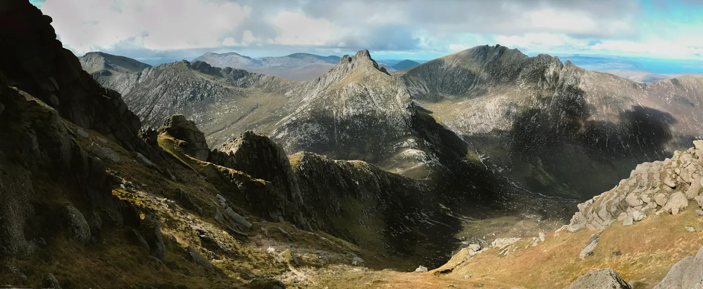
Granite peaks in the north, farms and coves in the south: Scotland in miniature.
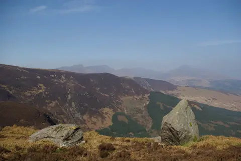
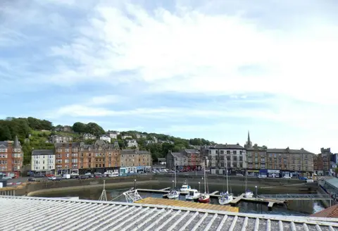
CalMac ferries cross to Brodick from Ardrossan in under an hour, with a longer sailing from Troon, and a separate ferry links Claonaig on Kintyre to Lochranza at the island’s northern tip. Arran runs about 20 miles from top to bottom, and the coast road that circles it runs from gentle farmland in the south to granite ridges rising over the north around Goatfell, the highest point at 874 metres. The main path up starts near Brodick Castle, a red sandstone house built up over centuries around an older core, run by the National Trust for Scotland with gardens above the bay.
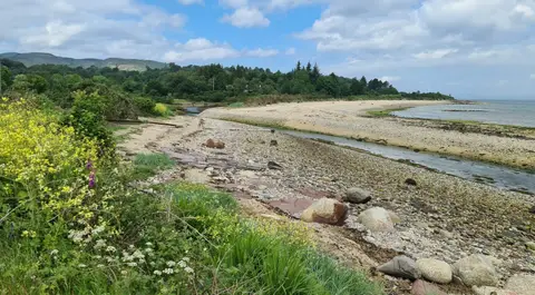
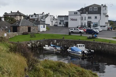
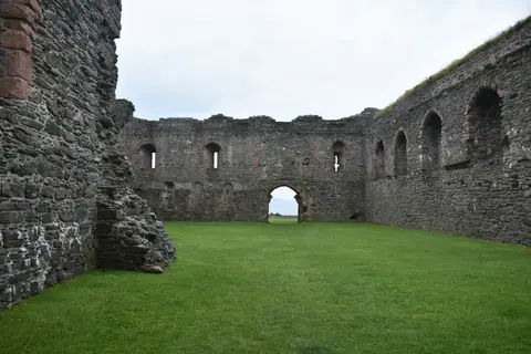
On the west coast, six stone circles stand together at Machrie Moor, raised in the Neolithic period from granite boulders and thin sandstone pillars; archaeologists aren’t sure why so many were put up so close together. Lochranza Castle, a ruined tower house, sits on the shore of the loch in the north, and the Isle of Arran Distillery, which opened nearby in 1995 as the island’s first legal distillery in over 150 years, runs tours. Near here, at Newton Shore, the geologist James Hutton found tilted grey rock overlain by younger sandstone in 1787 and worked out that the gap between them meant the earth was far older than anyone had reckoned.
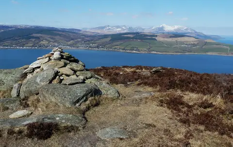
The Arran Coastal Way circles the whole island, about 65 miles in all, usually walked over the best part of a week. Off Lamlash on the east coast, a small ferry crosses to Holy Isle, which rises steeply from the bay.