A 65-mile circuit of the Isle of Arran, keeping to the shore all the way round from Brodick back to Brodick
The Arran Coastal Way is a circular route around the Isle of Arran, in North Ayrshire off the west coast of Scotland, keeping close to the shore for about 105 kilometres, or 65 miles. It begins and ends at Brodick, where the ferry from the mainland at Ardrossan comes in, and is usually walked over seven days. As a loop it can be started anywhere on the island and taken in either direction, and it is one of Scotland’s Great Trails.
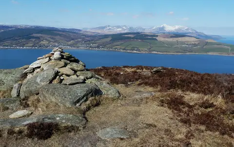
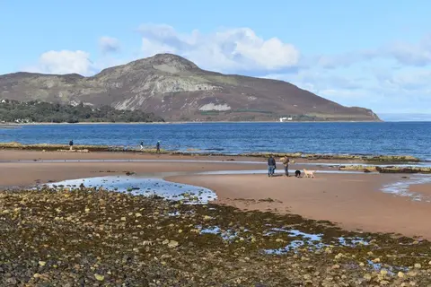
The walking changes with the coast. The north, below Arran’s mountains, is the most rugged; the first stage out of Brodick offers a choice between a low coastal path and a high route over Goatfell, at 874 metres the island’s summit, with views across the Firth of Clyde that on a clear day reach Ireland. The east coast looks out to Holy Isle across Lamlash Bay. Round the north end at Lochranza the way turns down the gentler western shore, past the standing stones of Machrie Moor and the sandy bays around Blackwaterfoot, then along the south coast and up the east side through Whiting Bay, Corrie and back to Brodick.
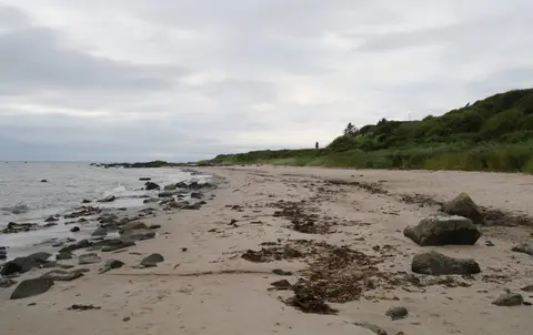
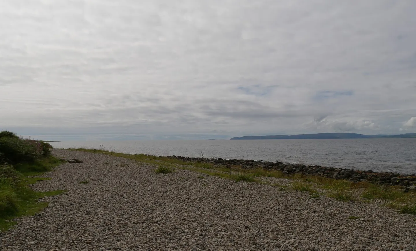
Most of the route is straightforward, but the south has the hardest going: two tidal stretches below Bennan and Dippin Heads cross rough boulder shore, and there are marked inland alternatives when the tide or the rock is against you. Check tide times before those sections.
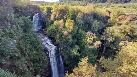
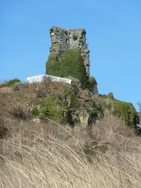
Buses run round the island’s ring road, shadowing the path, so it is easy to shorten a day or skip a stage. The scenery is the draw — cliffs and raised beaches, Iron Age forts, seals and seabirds — packed into a single island circuit.