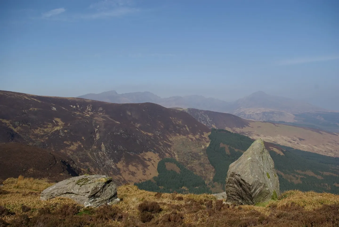
Arran's mountain half — jagged granite ridges above the sea, with Goatfell a big draw and a coast path round the edge
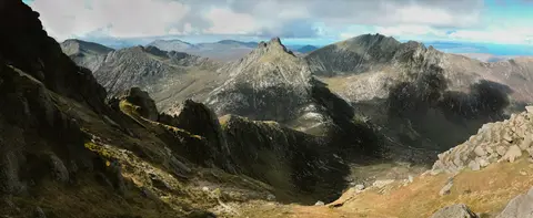
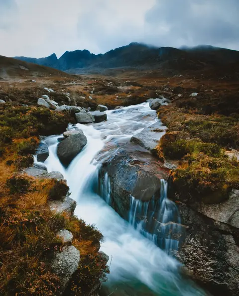
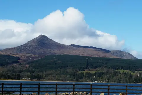
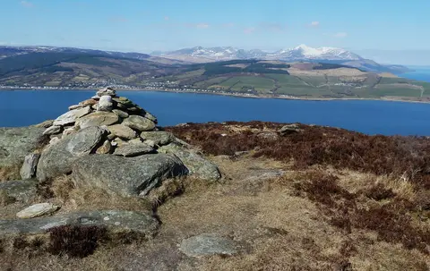
The northern end of Arran is where the island turns mountainous, a knot of granite peaks and sharp ridges rising straight from the sea. The scenic area covers 304 square kilometres, and for such a compact island the hills feel genuinely wild once you’re up among them.
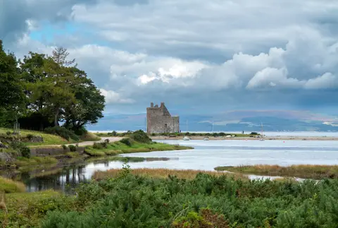
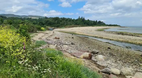
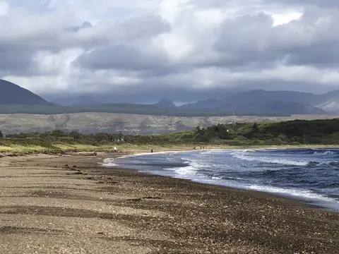
Goatfell is the high point and the one most people aim for, a long but well-trodden climb on a clear day. Behind it, Cir Mhor and Caisteal Abhail make rougher, rockier ground where the ridges narrow and route-finding matters. Round the shore, the Arran Coastal Way offers a far gentler way to take in the same scenery.
Reached by ferry, Arran packs the easy and the serious close together. Goatfell in good weather suits a fit walker with the right gear; the ridges beyond need scrambling confidence and a settled forecast. When cloud sits on the tops, the coast and lower paths are the safer, and still rewarding, choice.