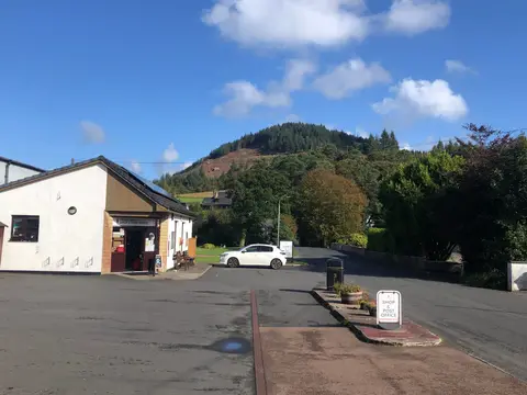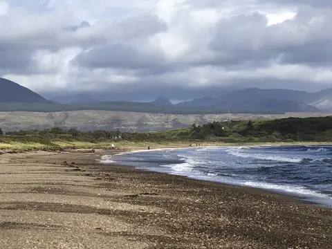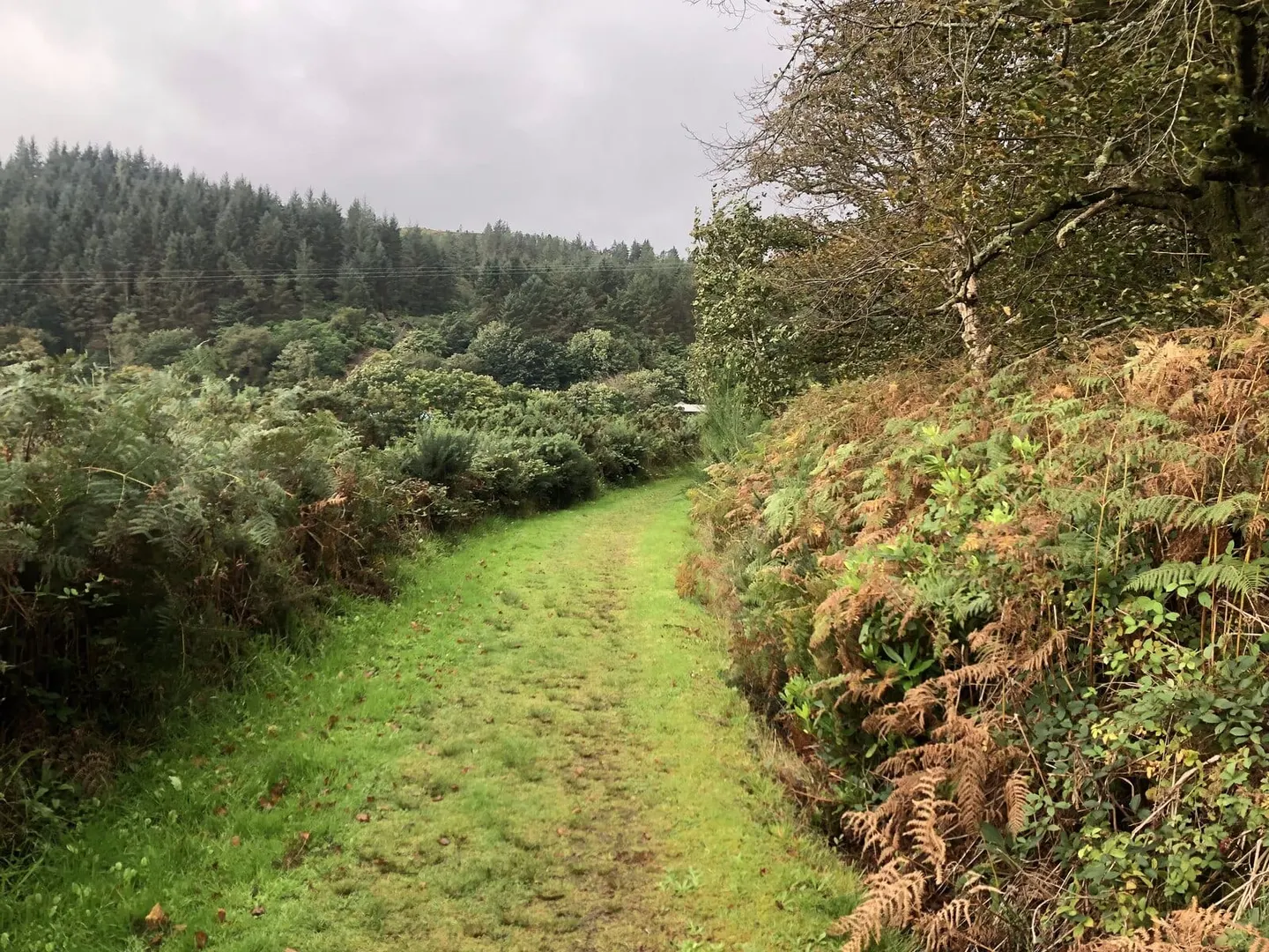
A hundred miles down the Kintyre peninsula, from Tarbert on Loch Fyne to Machrihanish on the Atlantic, by way of Campbeltown
Indicative — sampled from open terrain data along the simplified route.
The Kintyre Way runs the length of the long peninsula that reaches down the west coast of Argyll, about 100 miles from Tarbert at its neck to Machrihanish near its southern tip, passing through Campbeltown on the way. It is one of Scotland’s Great Trails, fully waymarked and marked off in miles, and it is usually walked over four to seven days in seven graded sections.
The going is varied and often more demanding than the gentle lowland trails. It uses forest tracks, quiet minor roads, stretches of foreshore and open hill, and it climbs and drops repeatedly across the spine of the peninsula, with well over 10,000 feet of ascent in total. What it gives back is the sense of a place apart: empty beaches, big conifer forests, moorland tops and small fishing and farming communities strung along two coasts. At the north end it links to the low, wooded country of Knapdale.
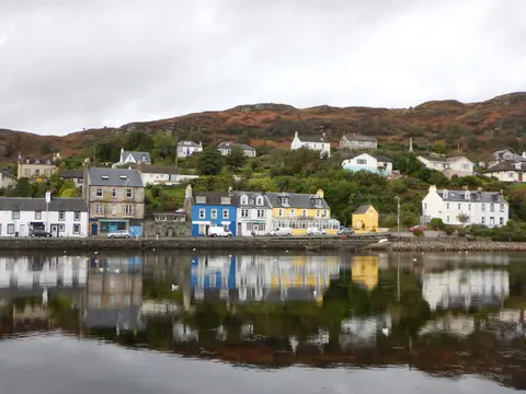
Kintyre is remote by road — the drive down the A83 from the mainland is a long one — but that is part of the appeal, and the trail is designed to be tackled in stages using the villages along it. Carradale on the east coast and Campbeltown, the peninsula’s main town, both make good breaks, and Campbeltown has an airport at Machrihanish with flights from Glasgow, which gives a way to reach or leave the southern end without the full drive.
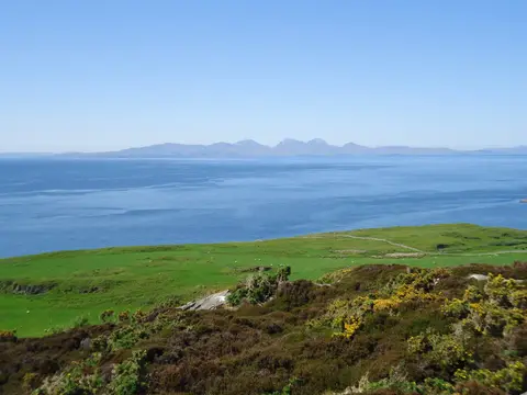
The scenery leans coastal and pastoral rather than mountainous, but the exposure and the distances between shelter mean the middle sections in particular should be treated as proper hill days.