Forty-five miles of firth coastline from Forres to Cullen, past fishing villages, cliffs and dolphin water
Indicative — sampled from open terrain data along the simplified route.
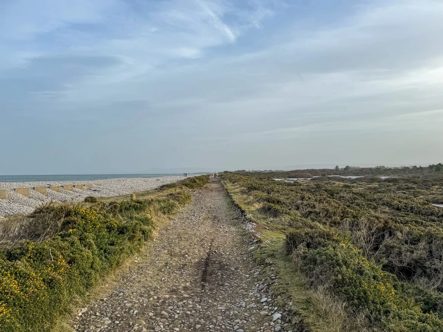
The Moray Coast Trail follows the southern shore of the Moray Firth for about 72 kilometres, or 45 miles, from Forres east to Cullen. It is one of Scotland’s Great Trails and takes most walkers three or four days. The going is easy for the most part — beach, links, harbour front and quiet lane — with the one sustained stretch of effort being the clifftop path between Burghead and Lossiemouth, which is also the finest walking on the route.
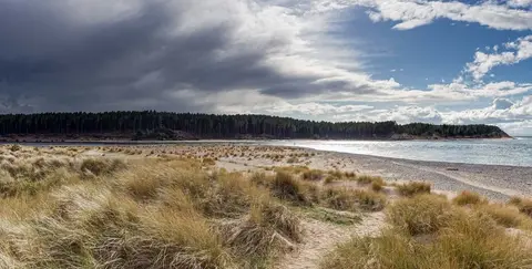
From Forres the trail crosses Findhorn Bay, a tidal basin known for wading birds and summer ospreys, then works along the coast through Findhorn and Burghead before the cliffs begin. Beyond Lossiemouth it reaches Spey Bay, at the mouth of the Spey, where the bottlenose dolphins of the firth are often seen offshore. A string of former herring ports follows — Buckie, Findochty and Portknockie — the last standing above Bow Fiddle Rock, the sea arch that is the coast’s best-known landmark, before the beach curves in to Cullen.
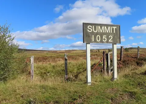
The trail is a modern route, waymarked along existing coastal paths and shore, and it connects the walking network of the area: at Forres it joins the Dava Way, and at Spey Bay it meets the end of the Speyside Way.
Forres has a railway station on the Inverness–Aberdeen line, and buses run along the coast between the villages, so the trail divides readily into day sections rather than a single continuous push.