137 kilometres from the Moray coast to the Cairngorms, tracking a river most of Scotland's whisky depends on
Indicative — sampled from open terrain data along the simplified route.
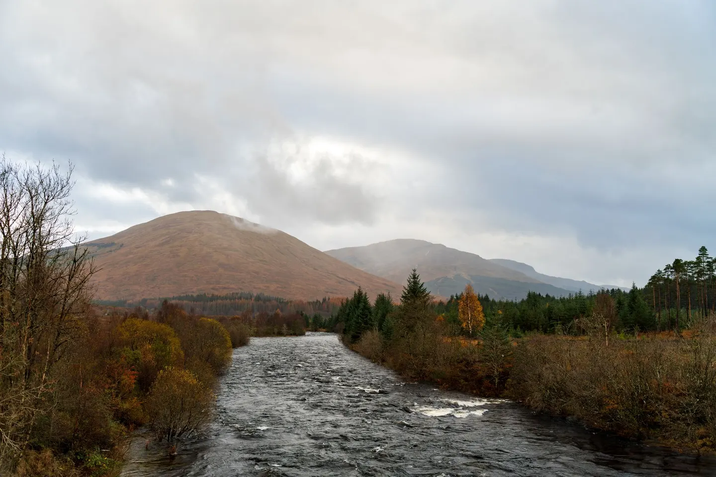
From Buckie on the Moray coast to Newtonmore in the Cairngorms, the Speyside Way covers 137 kilometres largely by following one river: the Spey, fast enough and cold enough that it has shaped everything built along its banks. That includes most of the whisky. Speyside produces more single malt than any other part of Scotland, and the water running past the path’s early stages goes into a lot of it, though the trail is a walking route rather than a tasting one and makes no promises about what happens off it.
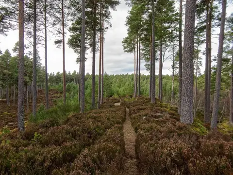
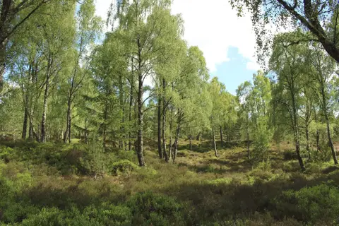
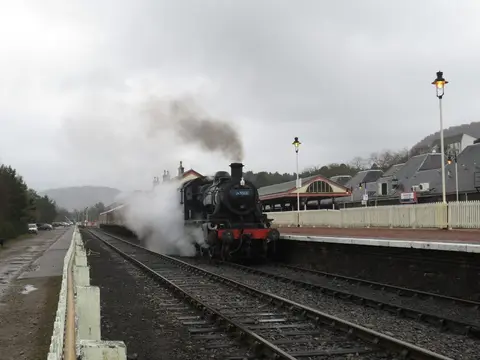
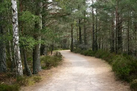
Much of the lower path runs along the bed of a long-closed railway line, flat and easy compared with what comes later, when the route climbs from farmland and forestry into properly upland country as it nears the Cairngorms. By the time it reaches Newtonmore, the coastal start feels a long way behind.
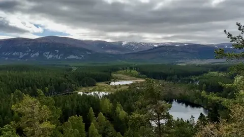
The Way runs through Cairngorms national park for its final stretch, and briefly through The Cairngorm Mountains too, trading river valley for the kind of open hill country where the weather turns rougher. That shift matters for planning: the coastal end suits an easy afternoon, the inland end wants proper kit and a weather check, and treating the whole route as one difficulty misjudges both halves.
Riverside sections can flood after heavy rain, and the Spey is not a river to underestimate at any point along it — admire it from the bank, not the water.