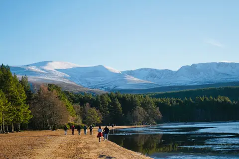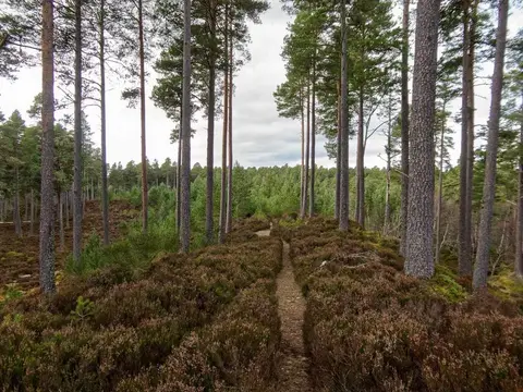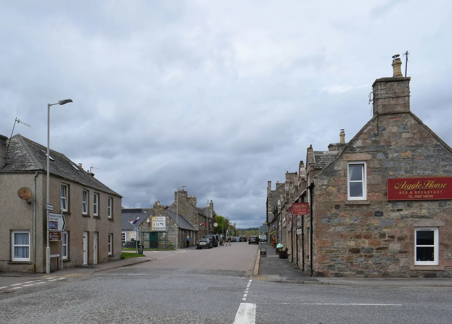
At around 345m, Tomintoul is one of the highest villages in the Highlands, laid out on a grid around a long green in 1775 by the Duke of Gordon. It sits on the edge of the Cairngorms National Park and makes a handy base for walking and for the whisky and castle trails around Glenlivet. The roads in can close with snow in winter, so check before you travel.